Browse / Canada / Yukon / Upper Liard
Upper Liard
Yukonvillage
Demographic figures from Statistics Canada. Overview below cites Wikipedia and may reference a different year.
City facts
Overview
Upper Liard is a chiefly First Nation settlement immediately west of Watson Lake in Canada's Yukon. It is situated at historical mile 642 of the Alaska Highway. Most of the residents are citizens of the Liard River First Nation, who also prominently populate the Two Mile area just north of Watson Lake.
Read more on WikipediaHistory & geography
Geography
Coordinates & boundaries from the US Census TIGER/Line shapefiles.
Climate
Air quality
Walkability
Amenities nearby
Wildlife & biodiversity
Most-observed species
- American RobinTurdus migratorius Linnaeus, 1766 · Aves511
- Common RavenCorvus corax Linnaeus, 1758 · Aves457
- Yellow-rumped WarblerSetophaga coronata (Linnaeus, 1766) · Aves382
- American CrowCorvus brachyrhynchos C.L.Brehm, 1822 · Aves373
- Dark-eyed JuncoJunco hyemalis (Linnaeus, 1758) · Aves313
- Short-billed GullLarus brachyrhynchus Richardson, 1831 · Aves309
- Ruby-crowned KingletRegulus calendula (Linnaeus, 1766) · Aves296
- Chipping SparrowSpizella passerina (Bechstein, 1798) · Aves271
Citizen-science & research observations from the Global Biodiversity Information Facility (GBIF).
Earthquake history
Most recent
- M 4.1 — 2020-02-0981 km NW of Watson Lake, Canada
Events from the USGS Earthquake Catalog (global) (FDSN Event Web Service).
Photos
Sights & places nearby
Notable people from here
Geography & sun
Elevation, sunrise/sunset and daylight from Open-Meteo. Solar climatology from NASA POWER.
Nearby airports
Public attention
Pageview totals from the Wikimedia Pageviews API.
Books about this place
Recent natural events nearby
Ground air-quality sensors
Recently spotted species
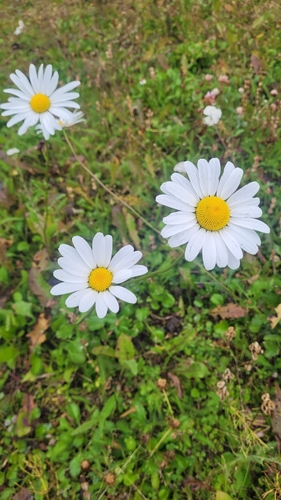
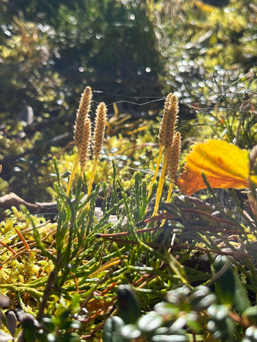
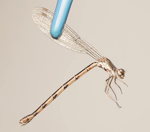
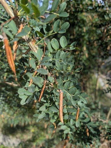
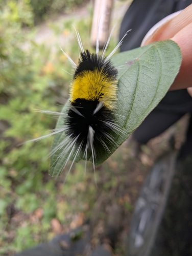
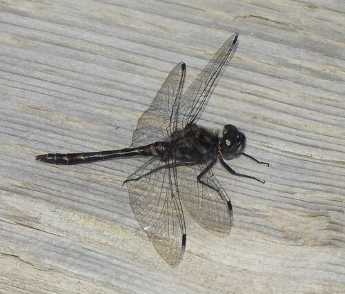
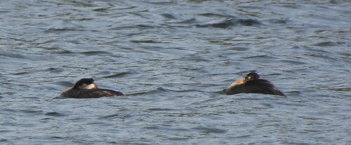
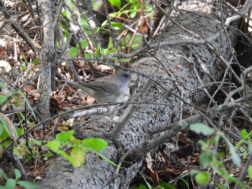
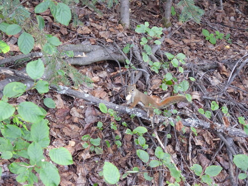
Research-grade observations from iNaturalist (within ~15 mi).
Events
Gallery
Official Identifiers
StatCan — Statistics Canada
- SGC code
- 6001032
- Wikidata
- Q2499757
Standard Geographical Classification (SGC) via Wikidata P3012
Sources
- • Wikipedia
- • Wikidata
- • USGS Earthquake Catalog (global feed)
- • GBIF (Global Biodiversity Information Facility)
- • iNaturalist
- • Open-Meteo / sunrise-sunset.org
- • Wikipedia Pageviews API
- • StatCan — Statistics Canada — Standard Geographical Classification (SGC) via Wikidata P3012