Browse / United States / California / Vacaville
Vacaville
Californiacity
Total population
103,992
Median home value
$637,500
Bachelor's+
Median income
$112,497
Founded
1852
Demographic figures from US Census Bureau · ACS 5-year estimates. Overview below cites Wikipedia and may reference a different year.
City facts
Facts from Wikidata (CC0).
Overview
Vacaville is a city in Solano County, California, United States. It is located 35 miles (56 km) from Sacramento and 55 miles (89 km) from San Francisco, on the edge of the Sacramento Valley in Northern California. The city was founded in 1851 and is named after Juan Manuel Vaca.
Read more on WikipediaHistory & geography
History
Prior to European contact, the indigenous Patwin tribe lived in the area with the Ululato tribelet, establishing a chiefdom around the Ululato village in what is now downtown Vacaville along the Ulatis Creek. The early settler pioneers of the land were Juan Manuel Cabeza Vaca and Juan Felipe Peña, who were awarded a Mexican land grant in 1842. The same year, Vaca and Peña's families settled in the area of Lagoon Valley. A written agreement was signed on December 13, 1851, forming a township, nine square miles of land were deeded to William McDaniel for $3,000, and the original city plans were laid out from that. and Vacaville was soon home to many large produce companies and local farms, which flourished due to the Vaca Valley's rich soil. Because of Vacaville's flourishing agricultural industry, as well as an increasing number of immigrants coming into the United States, Vacaville had a large Japanese and Chinese population. While their professions varied, many of these Japanese and Chinese worked for the fruit companies in Vacaville. It officially became a city in 1892. On August 29, 2022, a truck transporting tomatoes crashed on Interstate 80 in Vacaville, injuring four, splattering over 150,000 of the tomatoes onto the eastbound section of the freeway, and significantly delaying eastbound traffic for hours. The peculiarity of the freeway accident subsequently resulted in international news coverage.
Geography
Vacaville is surrounded by the Vaca Mountains to the south and to the west, and the Sacramento Valley to the north and to the east. A number of rare and endangered species occur in the Vacaville area. Endangered plants, which have historically occurred in the vernal pool areas in and around Vacaville include Legenre limosa, Plagiobothrys hystriculus, Downingia humilis, Contra Costa goldfields (Lasthenia conjugens), and showy Indian clover (Trifolium amoenum). The Trifolium amoenum can be found in Lagoon Valley Regional Park. According to the United States Census Bureau, the city has a total area of , of which 0.77% is covered by water. Excluding the Putah South Canal and minor local creeks, the only significant body of water within the city is the Lagoon Valley Lake. The unincorporated communities of Allendale and Elmira are generally considered to be part of "greater" Vacaville. Vacaville has a typical Mediterranean climate (Köppen Csa) with hot, dry summers and cool, wet winters. Summer high temperatures routinely exceed 100 °F, as is typical for inland California. Autumns are warm in September and even early October, but quickly cool as the wet season approaches. Winters can be cool, and often foggy, but are mild, with fewer frosts than further inland California. Spring is pleasant, with fairly mild temperatures. The greater majority of precipitation falls in the autumn, winter, and spring, with little to no precipitation in summer. Much of Vacaville falls in growing zone 9b, allowing some tropical plants to be grown outdoors. The wettest year was 1983 with and the driest year was 2012 with 5.0 inches. The most precipitation in one month was in January 1916. The most precipitation in 24 hours was on February 27, 1940. Snowfall is rare in Vacaville, but…
Excerpted from the corresponding Wikipedia article (CC BY-SA).
Demographics & economy
Race & ethnicity
Source: US Census Bureau — American Community Survey, 5-year estimates.
Geography
Coordinates & boundaries from the US Census TIGER/Line shapefiles.
Climate
Current forecast
Forecast for Vacaville, CA from NOAA NWS API.
Air quality
Industrial & pollution facilities
Natural hazard risk
Health (adults)
Age-adjusted prevalence estimates from CDC PLACES (latest release).
Walkability
Amenities nearby
Wildlife & biodiversity
Most-observed species
- California/Woodhouse's Scrub-JayAphelocoma californica (Vigors, 1839) · Aves6,073
- Turkey VultureCathartes aura (Linnaeus, 1758) · Aves5,688
- Black PhoebeSayornis nigricans (Swainson, 1827) · Aves5,090
- Anna's HummingbirdCalypte anna (R.Lesson, 1829) · Aves4,540
- Common RavenCorvus corax Linnaeus, 1758 · Aves4,520
- Canada Goose (canadensis Group)Branta canadensis (Linnaeus, 1758) · Aves4,276
- Red-tailed HawkButeo jamaicensis (Gmelin, 1788) · Aves4,018
- European StarlingSturnus vulgaris Linnaeus, 1758 · Aves3,968
Citizen-science & research observations from the Global Biodiversity Information Facility (GBIF).
Schools
Largest nearby schools
- Vacaville HighHigh · Vacaville · 1,994 students · 21.9:1 ratio
- Armijo HighHigh · Fairfield · 1,967 students · 22.9:1 ratio
- Will C. Wood HighHigh · Vacaville · 1,670 students · 21.1:1 ratio
- Vanden HighHigh · Fairfield · 1,640 students · 23.8:1 ratio
- Fairfield HighHigh · Fairfield · 1,633 students · 23.3:1 ratio
- Dixon HighHigh · Dixon · 1,013 students · 22:1 ratio
- Willis Jepson MiddleMiddle · Vacaville · 925 students · 22:1 ratio
- Edwin Markham ElementaryElementary · Vacaville · 882 students · 25.2:1 ratio
Public K–12 schools within ~10 mi from Urban Institute Education Data Portal (NCES Common Core of Data, 2022).
Earthquake history
Photos
Sights & places nearby
Notable people from here


People born within ~10 km, from Wikidata (CC0). Click any name for their Wikipedia article.
Nearby places in California
Geography & sun
Elevation, sunrise/sunset and daylight from Open-Meteo. Solar climatology from NASA POWER.
Nearby airports
Public attention
Pageview totals from the Wikimedia Pageviews API.
Books about Vacaville
Search results from Open Library.
Recent natural events nearby
- PUTAH Wildfire, Yolo, CaliforniaWildfires · 2026-06-08 · 12 mi
- WALTZ Wildfire, Mariposa, CaliforniaWildfires · 2026-06-05 · 116 mi
- BRITE Wildfire, Kern, CaliforniaWildfires · 2026-05-09 · 249 mi
Wildfires, storms and other events from NASA EONET (last 12 months, within 250 mi).
Ground air-quality sensors
Recently spotted species
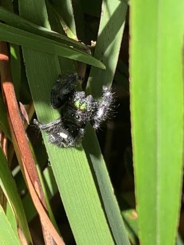
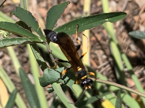
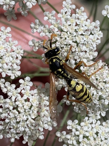
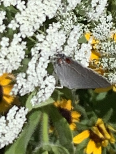
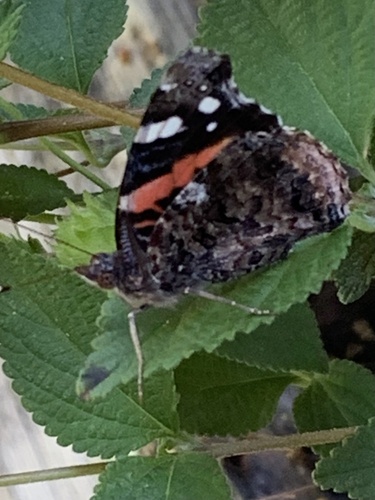
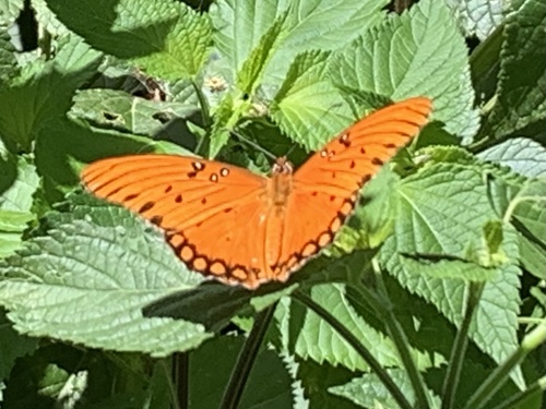
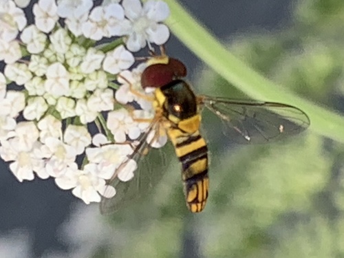
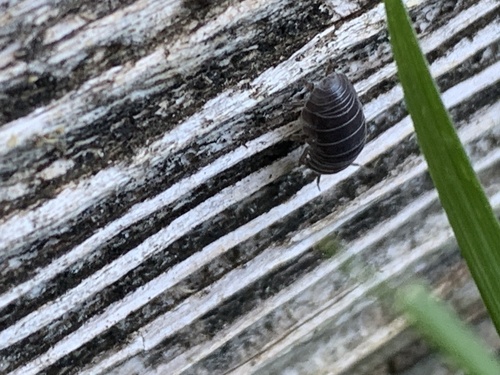
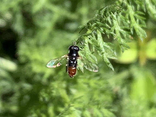
Research-grade observations from iNaturalist (within ~15 mi).
Nearest stream gauge
Live readings from USGS NWIS · measured 2026-06-27 14:45 UTC.
Events
Gallery
Geotagged photos within ~6 miles of Vacaville, from Wikimedia Commons contributors.
 0 mi
0 mi 0.1 mi
 0.2 mi
 0.2 mi
 0.2 mi
 0.2 mi
 0.6 mi
 0.8 mi
 0.8 mi
 0.9 mi
 0.9 mi
 0.9 mi
 0.9 mi
 0.9 mi
 0.9 mi
 0.9 mi
.jpg) 0.9 mi
0.9 mi 1.2 mi
 1.2 mi
 1.2 mi
 1.2 mi
 1.3 mi
 1.4 mi
 1.4 mi
Photos via Wikimedia Commons — see each image page for license & attribution.
Sources
- • Wikipedia
- • US Census Bureau (ACS 5-year estimates)
- • NOAA National Weather Service
- • Wikimedia Commons
- • Wikidata
- • USGS NWIS (water data)
- • NCES via Urban Institute Education Data Portal
- • GBIF (Global Biodiversity Information Facility)
- • iNaturalist
- • CDC PLACES
- • Open-Meteo / sunrise-sunset.org
- • Wikipedia Pageviews API
- • Open Library
- • NASA EONET