Browse / Canada / Ontario / Vaughan
Vaughan
Ontariovillage

Vaughan
Total population
323,103
Founded
1792
Demographic figures from Statistics Canada. Overview below cites Wikipedia and may reference a different year.
City facts
Facts from Wikidata (CC0).
Overview
Vaughan is a city in Ontario, Canada. It is located in the Regional Municipality of York, just north of Toronto, Ontario. Vaughan was the fastest-growing municipality in Ontario between 1996 and 2006 with its population increasing by 80.2% during this time period and having nearly doubled in population since 1991. In 2021, the population of Vaughan was 323,103. It is the fifth-largest city in the Greater Toronto Area, and the seventeenth-largest city in Canada.
Read more on WikipediaHistory & geography
History
In the late pre-contact period, the Wendat (Huron) people populated what is today Vaughan. The Skandatut ancestral Wendat village overlooked the east branch of the Humber River (Pine Valley Drive) and was once home to approximately 2,000 Wendat in the sixteenth century. The site is close to a Wendat ossuary (mass grave) uncovered in Kleinburg in 1970, and one kilometre north of the Seed-Barker Wendat site. The first European to pass through Vaughan was the French explorer Étienne Brûlé, who traversed the Humber Trail in 1615. However, it was not until townships were created in 1792 that Vaughan began to see European settlements, as it was considered to be extremely remote and the lack of roads through the region made travel difficult. Despite the hardships of pioneer life, settlers came to Vaughan in considerable numbers. The population grew from 19 men, 5 women, and 30 children in 1800 to 4,300 in 1840. The first people to arrive were mainly Pennsylvania Germans, with a smaller number of families of English descent and a group of French Royalists. This migration from the United States was by 1814 superseded by immigrants from Britain. While many of their predecessors had been agriculturalists, the newer immigrants were highly skilled tradespeople, useful for a growing community. Among the facilities established by this group were a number of hamlets, the oldest of which was Thornhill, where a sawmill was erected in 1801, a grist mill in 1815, and had a population of 300 by 1836. Other such enclaves included Kleinburg, Coleraine, Rupertville(Maple), Richmond Hill, Teston, Claireville, Pine Grove, Carrville, Patterson, Burlington, Concord, Edgeley, Fisherville, Elder's Mills, Elgin Mills, Jefferson, Nashville, Purpleville, Richvale, Sherwood, Langstaff, Vellore, and…
Geography
Vaughan is bounded by Caledon and Brampton to the west, King and Richmond Hill to the north, Markham and Richmond Hill to the east, and Toronto — in the dissolved cities of Etobicoke and North York, to the south. The city is made up of nearly a dozen historic communities. Likely as a result of the municipality being established when it was still largely a rural area with scattered settlements, most residents (and even non-residents) identify more with the larger communities than they do with the city as a whole and have greatly expanded their areas, and the city officially designates five in the urban area as major communities, with all of the built-up areas of the city considered as being within one of them. This includes corporations such as Bell Canada, which uses the original community rate centres and lists them separately, resulting in local calling areas being different throughout the city. The city’s slogan was “The City Above Toronto” to promote population growth, until 2010 when the slogan was dropped. *Woodbridge: North/South - Major Mackenzie/Steeles, East/West - Hwy 400/Hwy 50 *Maple: North/South - King Vaughan Line/Rutherford, East/West - Bathurst/Hwy 400 *Thornhill: North/South - Hwys. 7 and 407 (Major Mackenzie for the area west of Bathurst)/Steeles, East/West - Yonge/Dufferin *Concord: North/South - Rutherford/Steeles, East/West - Dufferin/Hwy 400 *Kleinburg: North/South - King Vaughan Line/Major Mackenzie, East/West - Hwy 400/Hwy 50 The Vaughan Metropolitan Centre (VMC) is a 179-hectare (442 acre) city centre under development around the intersection of Highway 7 and Jane Street, at the site of the former hamlet of Edgeley. When the Township of Vaughan officially became a town in 1971, it was made up of four historic communities (Maple, Kleinburg,…
Excerpted from the corresponding Wikipedia article (CC BY-SA).
Geography
Coordinates & boundaries from the US Census TIGER/Line shapefiles.
Climate
Air quality
Walkability
Amenities nearby
Wildlife & biodiversity
Most-observed species
- Northern CardinalCardinalis cardinalis (Linnaeus, 1758) · Aves83,445
- American RobinTurdus migratorius Linnaeus, 1766 · Aves75,275
- House SparrowPasser domesticus (Linnaeus, 1758) · Aves62,871
- Black-capped ChickadeePoecile atricapillus (Linnaeus, 1766) · Aves61,256
- American GoldfinchSpinus tristis (Linnaeus, 1758) · Aves52,860
- Downy WoodpeckerDryobates pubescens (Linnaeus, 1766) · Aves48,529
- MallardAnas platyrhynchos Linnaeus, 1758 · Aves47,630
- European StarlingSturnus vulgaris Linnaeus, 1758 · Aves47,446
Citizen-science & research observations from the Global Biodiversity Information Facility (GBIF).
Earthquake history
Most recent
- M 4.1 — 2026-01-2824 km ESE of Orillia, Canada
- M 3 — 2018-05-0814 km SSE of Ajax, Canada
- M 2.52 — 2017-07-1111 km NNW of Barker, New York
- M 2.46 — 2014-02-1334 km N of Lyndonville, New York
- M 2.7 — 2009-12-2110 km NNE of Olcott, New York
- M 2.58 — 2009-09-2020 km ESE of Oakville, Canada
Events from the USGS Earthquake Catalog (global) (FDSN Event Web Service).
Photos
Sights & places nearby
Notable people from here


People born within ~10 km, from Wikidata (CC0). Click any name for their Wikipedia article.
Nearby places in Ontario
Geography & sun
Elevation, sunrise/sunset and daylight from Open-Meteo. Solar climatology from NASA POWER.
Nearby airports
Public attention
Pageview totals from the Wikimedia Pageviews API.
Books about Vaughan
Search results from Open Library.
Recent natural events nearby
- Wells Rd Unit 1 RX Prescribed Fire, Iosco, MichiganWildfires · 2026-04-22 · 201 mi
- River Road 16 RX Prescribed Fire, Iosco, MichiganWildfires · 2026-04-19 · 206 mi
Wildfires, storms and other events from NASA EONET (last 12 months, within 250 mi).
Ground air-quality sensors
Recently spotted species

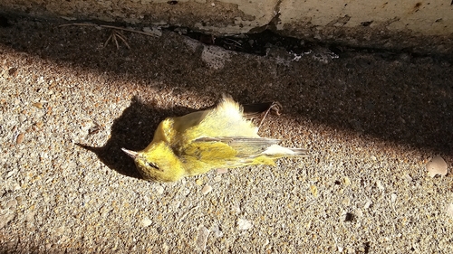
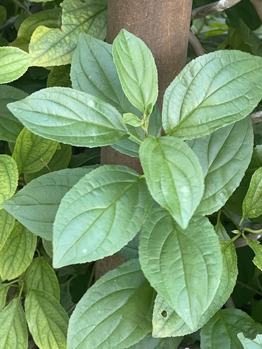
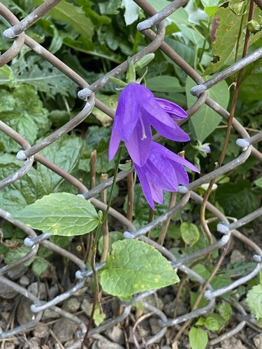
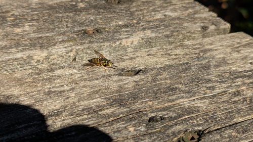
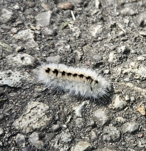
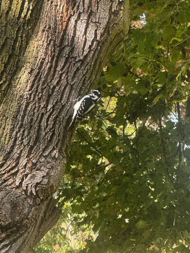
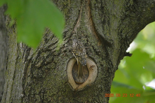
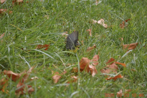
Research-grade observations from iNaturalist (within ~15 mi).
Events
Gallery
Official Identifiers
StatCan — Statistics Canada
- SGC code
- 3519028
- Population (Wikidata)
- 323,103
- Wikidata
- Q44013
Standard Geographical Classification (SGC) via Wikidata P3012
Sources
- • Wikipedia
- • Wikidata
- • USGS Earthquake Catalog (global feed)
- • GBIF (Global Biodiversity Information Facility)
- • iNaturalist
- • Open-Meteo / sunrise-sunset.org
- • Wikipedia Pageviews API
- • Open Library
- • NASA EONET
- • StatCan — Statistics Canada — Standard Geographical Classification (SGC) via Wikidata P3012