Browse / Canada / Alberta / Vegreville
Vegreville
Albertatown

Vegreville
Total population
5,708
Founded
1906
Air quality index
Demographic figures from Statistics Canada. Overview below cites Wikipedia and may reference a different year.
City facts
Sister cities
Facts from Wikidata (CC0).
Overview
Vegreville is a town in central Alberta, Canada. It is on Highway 16A approximately 103 km (64 mi) east of Edmonton, Alberta's capital city. It was incorporated as a town in 1906, and that year also saw the founding of the Vegreville Observer, a weekly newspaper for the region. It was named after a Roman Catholic Oblate missionary, Father Valentin Vegreville.
Read more on WikipediaHistory & geography
Geography
Vegreville experiences a humid continental climate (Köppen climate classification Dfb).
Excerpted from the corresponding Wikipedia article (CC BY-SA).
Geography
Coordinates & boundaries from the US Census TIGER/Line shapefiles.
Climate
Air quality
Current readings from Open-Meteo Air Quality API (Copernicus CAMS European reanalysis).
Walkability
Amenities nearby
Wildlife & biodiversity
Most-observed species
- Red-belted Bumble BeeBombus rufocinctus Cresson, 1863 · Insecta217
- Canada Goose (canadensis Group)Branta canadensis (Linnaeus, 1758) · Aves177
- American CrowCorvus brachyrhynchos C.L.Brehm, 1822 · Aves130
- MallardAnas platyrhynchos Linnaeus, 1758 · Aves124
- Red-winged BlackbirdAgelaius phoeniceus (Linnaeus, 1766) · Aves113
- Black-billed MagpiePica hudsonia (Sabine, 1823) · Aves111
- Snow/Ross's GooseAnser caerulescens (Linnaeus, 1758) · Aves97
- Painted LadyVanessa cardui (Linnaeus, 1758) · Insecta96
Citizen-science & research observations from the Global Biodiversity Information Facility (GBIF).
Earthquake history
Most recent
- M 3.9 — 2026-05-0915 km SSW of Smoky Lake, Canada
Events from the USGS Earthquake Catalog (global) (FDSN Event Web Service).
Photos
Sights & places nearby
Notable people from here


People born within ~10 km, from Wikidata (CC0). Click any name for their Wikipedia article.
Geography & sun
Elevation, sunrise/sunset and daylight from Open-Meteo. Solar climatology from NASA POWER.
Nearby airports
Public attention
Pageview totals from the Wikimedia Pageviews API.
Books about Vegreville


Search results from Open Library.
Recent natural events nearby
Ground air-quality sensors
Recently spotted species
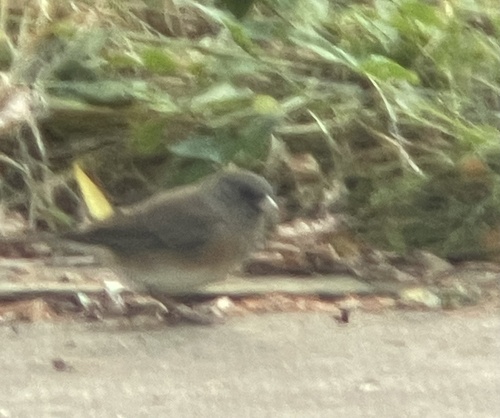
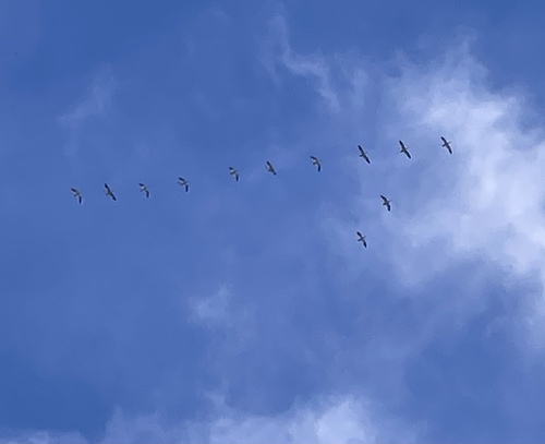
Research-grade observations from iNaturalist (within ~15 mi).
Events
Gallery
Official Identifiers
StatCan — Statistics Canada
- SGC code
- 4810028
- Population (Wikidata)
- 5,689
- Wikidata
- Q1276220
Standard Geographical Classification (SGC) via Wikidata P3012
Sources
- • Wikipedia
- • Wikidata
- • Open-Meteo Air Quality (CAMS)
- • USGS Earthquake Catalog (global feed)
- • GBIF (Global Biodiversity Information Facility)
- • iNaturalist
- • Open-Meteo / sunrise-sunset.org
- • Wikipedia Pageviews API
- • Open Library
- • StatCan — Statistics Canada — Standard Geographical Classification (SGC) via Wikidata P3012