Browse / Canada / Alberta / Veteran
Veteran
Albertavillage

Veteran
Total population
207
Demographic figures from Statistics Canada. Overview below cites Wikipedia and may reference a different year.
City facts
Facts from Wikidata (CC0).
Overview
Veteran is a village in central Alberta, Canada. It is located on Highway 12 approximately 200 km (120 mi) east of the City of Red Deer. Consort is approximately 25 km (16 mi) to the east, while Coronation is approximately 26 km (16 mi) to the west.
Read more on WikipediaHistory & geography
History
With the promise of land, many people made their way west to homestead in the Veteran area. Their ethnic origins were diverse but they shared in the optimism of a better life for themselves and their families. Veteran incorporated as a village on June 30, 1914.
Excerpted from the corresponding Wikipedia article (CC BY-SA).
Geography
Coordinates & boundaries from the US Census TIGER/Line shapefiles.
Climate
Air quality
Walkability
Amenities nearby
Wildlife & biodiversity
Most-observed species
- Sandhill craneGrus canadensis (Linnaeus, 1758) · Aves18
- Western MeadowlarkSturnella neglecta Audubon, 1844 · Aves18
- Canada Goose (canadensis Group)Branta canadensis (Linnaeus, 1758) · Aves17
- Green-winged TealAnas crecca Linnaeus, 1758 · Aves15
- Northern ShovelerSpatula clypeata (Linnaeus, 1758) · Aves14
- American WigeonMareca americana (J.F.Gmelin, 1789) · Aves13
- Red-winged BlackbirdAgelaius phoeniceus (Linnaeus, 1766) · Aves12
- Red-tailed HawkButeo jamaicensis (Gmelin, 1788) · Aves11
Citizen-science & research observations from the Global Biodiversity Information Facility (GBIF).
Earthquake history
Events from the USGS Earthquake Catalog (global) (FDSN Event Web Service).
Photos
Sights & places nearby
Notable people from here
People born within ~10 km, from Wikidata (CC0). Click any name for their Wikipedia article.
Nearby places in Alberta
- Veteran Hutterite Colony8.7 mi away
- Hemaruka15.1 mi away
- Brownfield25.5 mi away
- Suncrest Hutterite Colony28 mi away
- Berry Creek Hutterite Colony32.5 mi away
- South Bend Hutterite Colony33.2 mi away
- Kirriemuir34.9 mi away
- Metiskow34.9 mi away
- Scapa38 mi away
- Rosewood Hutterite Colony39.1 mi away
- Alliance41 mi away · pop. 107
- Castor Hutterite Colony41.2 mi away
Geography & sun
Elevation, sunrise/sunset and daylight from Open-Meteo. Solar climatology from NASA POWER.
Nearby airports
Public attention
Pageview totals from the Wikimedia Pageviews API.
Books about Veteran


Search results from Open Library.
Recent natural events nearby
Ground air-quality sensors
Recently spotted species
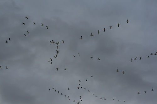
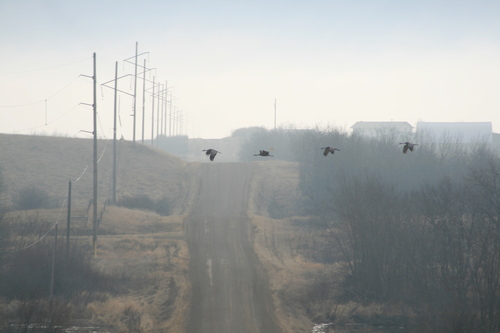
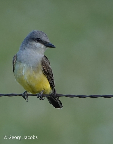
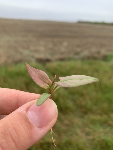
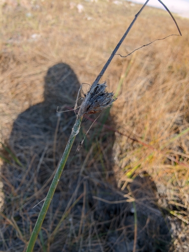
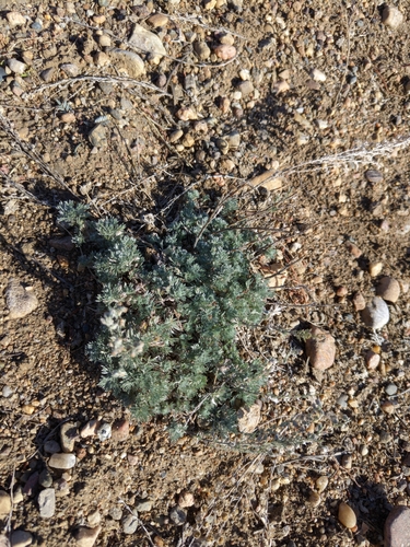
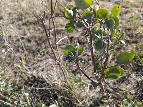
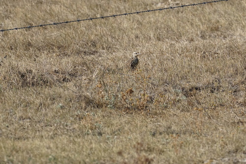
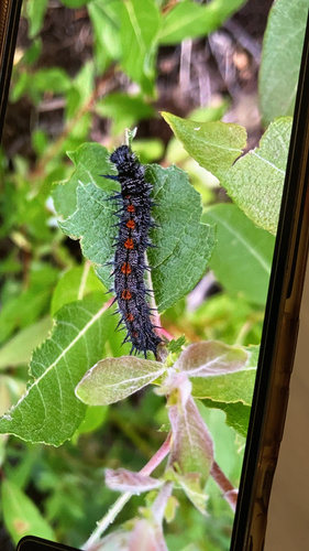
Research-grade observations from iNaturalist (within ~15 mi).
Events
Gallery
Official Identifiers
StatCan — Statistics Canada
- SGC code
- 4804021
- Population (Wikidata)
- 207
- Wikidata
- Q7923563
Standard Geographical Classification (SGC) via Wikidata P3012
Sources
- • Wikipedia
- • Wikidata
- • USGS Earthquake Catalog (global feed)
- • GBIF (Global Biodiversity Information Facility)
- • iNaturalist
- • Open-Elevation
- • Open-Meteo / sunrise-sunset.org
- • Wikipedia Pageviews API
- • Open Library
- • StatCan — Statistics Canada — Standard Geographical Classification (SGC) via Wikidata P3012