Browse / Canada / Prince Edward Island / Victoria
Victoria
Prince Edward Islandcity

Victoria
Total population
91,867
Founded
1849
Demographic figures from Statistics Canada. Overview below cites Wikipedia and may reference a different year.
City facts
Sister cities
Facts from Wikidata (CC0).
Overview
Victoria is the capital city of the Canadian province of British Columbia, located on the southern tip of Vancouver Island off Canada's Pacific coast. The city has a population of 91,867, and the Greater Victoria area has a population of 397,237. The city of Victoria is the seventh most densely populated city in Canada with 4,406 inhabitants per square kilometre (11,410/sq mi).
History & geography
History
Prior to the arrival of European navigators in the late 1700s, the Greater Victoria area was home to several communities of Coast Salish peoples, including the Lək̓ʷəŋən (Lekwungen) and W̱SÁNEĆ (Saanich) peoples. The Spanish and British took up the exploration of the northwest coast, beginning with the visits of Juan Pérez in 1774, and of James Cook in 1778. Although the Victoria area of the Strait of Juan de Fuca was not explored until 1790, Spanish sailors visited Esquimalt Harbour (just west of Victoria proper) in 1790, 1791, and 1792. In 1841, James Douglas was charged with the duty of setting up a trading post on the southern tip of Vancouver Island. Upon the recommendation by George Simpson a new more northerly post should be built in case Fort Vancouver fell into American hands (see Oregon boundary dispute). Douglas founded Fort Victoria on the site of present-day Victoria in anticipation of the outcome of the Oregon Treaty in 1846, extending the British North America/United States border along the 49th parallel from the Rockies to the Strait of Georgia. In 1843, a Hudson's Bay Company trading post was erected on a site originally called Camosack meaning "rush of water". Known briefly as "Fort Albert", the settlement was renamed "Fort Victoria" in November 1843, in honour of Queen Victoria. The Songhees established a village across the harbour from the fort. The Songhees' village was later moved north of Esquimalt in 1911.The crown colony was established in 1849. Between 1850 and 1854, a series of treaty agreements known as the Douglas Treaties were made with indigenous communities to purchase certain plots of land in exchange for goods. These agreements contributed to a town being laid out on the site and made the capital of the colony, though controversy…
Geography
The landscape of Victoria was formed by volcanism followed by water in various forms. Pleistocene glaciation put the area under a thick ice cover, the weight of which depressed the land below present sea level. These glaciers also deposited stony sandy loam till. As they retreated, their melt water left thick deposits of sand and gravel. Marine clay settled on what would later become dry land. Post-glacial rebound exposed the present-day terrain to air, raising beach and mud deposits well above sea level. The resulting soils are highly variable in texture, and abrupt textural changes are common. In general, clays are most likely to be encountered in the northern part of town and in depressions. The southern part has coarse-textured subsoils and loamy topsoils. Sandy loams and loamy sands are common in the eastern part adjoining Oak Bay. Victoria's soils are relatively unleached and less acidic than soils elsewhere on the British Columbia Coast. Their thick dark topsoils denote a high level of fertility which made them valuable for farming prior to urbanization. Depending on the classification used, Victoria either has a warm-summer Mediterranean or oceanic climate (Köppen: Csb, Trewartha: Do); with fresh, dry, sunny summers, and cool, cloudy, rainy winters. Victoria is farther north than many "cold-winter" cities, such as Ottawa, Quebec City, and Minneapolis. However, westerly winds and Pacific Ocean currents keep Victoria's winter temperatures substantially higher, with an average January temperature of to in Port Renfrew just away on the more exposed southwest coast of Vancouver Island. Vancouver measures annually and Seattle is at . One feature of Victoria's climate is its distinct dry and rainy seasons. Over 60% of the annual precipitation falls during the…
Excerpted from the corresponding Wikipedia article (CC BY-SA).
Geography
Coordinates & boundaries from the US Census TIGER/Line shapefiles.
Climate
Air quality
Walkability
Amenities nearby
Wildlife & biodiversity
Most-observed species
- American CrowCorvus brachyrhynchos C.L.Brehm, 1822 · Aves907
- Song SparrowMelospiza melodia (A.Wilson, 1810) · Aves589
- American RobinTurdus migratorius Linnaeus, 1766 · Aves536
- Blue JayCyanocitta cristata (Linnaeus, 1758) · Aves512
- European StarlingSturnus vulgaris Linnaeus, 1758 · Aves505
- Black-capped ChickadeePoecile atricapillus (Linnaeus, 1766) · Aves454
- American GoldfinchSpinus tristis (Linnaeus, 1758) · Aves384
- American herring gull, Smithsonian GullLarus smithsonianus Coues, 1862 · Aves381
Citizen-science & research observations from the Global Biodiversity Information Facility (GBIF).
Earthquake history
Events from the USGS Earthquake Catalog (global) (FDSN Event Web Service).
Photos
Sights & places nearby
Notable people from here
Nearby places in Prince Edward Island
- Harmony33.8 mi away
- Summerville35.2 mi away
- Derby44.2 mi away
- Hebron46.2 mi away
- Burton55.3 mi away
- Souris60.1 mi away · pop. 1,232
- Vila dos Remédios3946.7 mi away · pop. 3,167
- Vila Serrânia3966.5 mi away
- Serra do Cavaco3967 mi away
- Serra do Rancho Grande3968.3 mi away
- Serra da Rodagem3968.3 mi away
- Sítio Serra Palma3968.9 mi away
Geography & sun
Elevation, sunrise/sunset and daylight from Open-Meteo. Solar climatology from NASA POWER.
Nearby airports
Public attention
Pageview totals from the Wikimedia Pageviews API.
Books about Victoria


Search results from Open Library.
Recent natural events nearby
Ground air-quality sensors
Recently spotted species
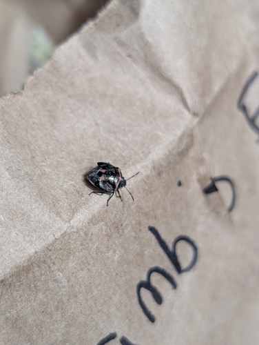
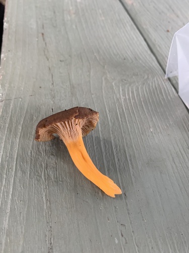
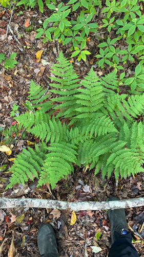
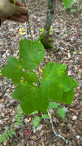
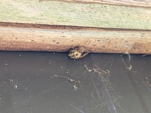
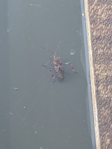
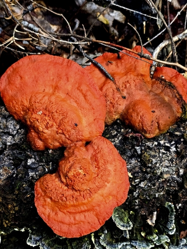
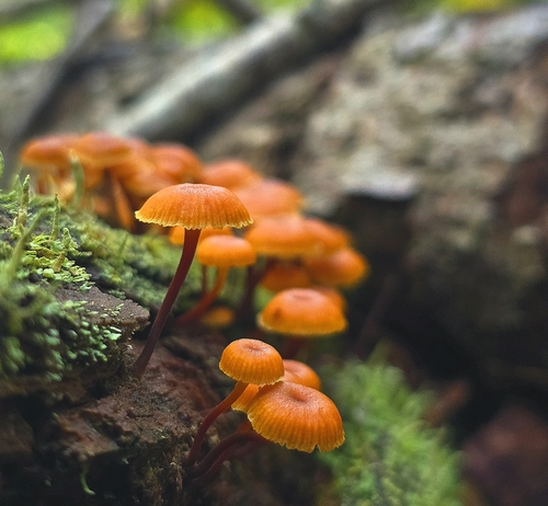
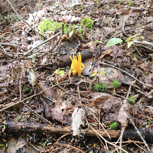
Research-grade observations from iNaturalist (within ~15 mi).
Events
Notable, recurring, and historical events associated with Victoria, sourced from Wikidata.
- Jan 1, 2020
- 1994 Commonwealth GamesAug 18, 1994recurring event edition
multi-sport event in Victoria, British Columbia, Canada
Source: Wikidata (CC0).
Gallery
Sources
- • Wikipedia
- • Wikidata
- • USGS Earthquake Catalog (global feed)
- • GBIF (Global Biodiversity Information Facility)
- • iNaturalist
- • Open-Meteo / sunrise-sunset.org
- • Wikipedia Pageviews API
- • Open Library