Browse / Canada / Alberta / Vulcan
Vulcan
Albertatown

Vulcan
Demographic figures from Statistics Canada. Overview below cites Wikipedia and may reference a different year.
City facts
Facts from Wikidata (CC0).
Overview
Vulcan is a town in southern Alberta, Canada that is surrounded by Vulcan County. It is on Highway 23, midway between the cities of Calgary and Lethbridge. The population of the town was 1,769 in 2021. Now known as the "Official Star Trek Capital of Canada", Vulcan has a tourism building made to look like a landed space station, a statue of the original series' USS Enterprise, and other Star Trek themed attractions.
Read more on WikipediaHistory & geography
History
Vulcan was named by a surveyor for the Canadian Pacific Railway after the Roman God of Fire – Vulcan. O The community was incorporated as a village on December 23, 1912, and then as a town on June 15, 1921. In July 1927, a major tornado destroyed many homes and the new curling rink in the town. That tornado was made famous when a photograph of it approaching Vulcan was used for the "tornado" article in Encyclopædia Britannica. The first newspaper to serve the area was The Vulcan Review, which began in 1912 and was published for one year. The Vulcan Review was followed by the Vulcan Advocate in 1913, which is still being published digitally today as member of Sun Media Community Newspapers part of Postmedia Network. Due to the changing economics of the agricultural industry, the original elevators were taken down one by one. The last elevator was demolished on April 27, 2025. A British Commonwealth Air Training Plan air force base, RCAF Station Vulcan, was located southwest of the town during the Second World War. Many of the old hangars still exist and the runways can still be seen. It is now operated as Vulcan/Kirkcaldy Aerodrome and some of the old runways are still in use, though the base and its hangars are privately owned. There is a second airport, Vulcan Airport. In 2015 the town council voted to form Heritage Advisory Board Committee to manage the historical sites in Vulcan County.
Geography
Vulcan experiences a dry continental climate (Köppen climate classification Dfb) with long, cold winters and short, warm summers.
Excerpted from the corresponding Wikipedia article (CC BY-SA).
Geography
Coordinates & boundaries from the US Census TIGER/Line shapefiles.
Climate
Air quality
Walkability
Amenities nearby
Wildlife & biodiversity
Most-observed species
- House SparrowPasser domesticus (Linnaeus, 1758) · Aves279
- Black-billed MagpiePica hudsonia (Sabine, 1823) · Aves176
- Canada Goose (canadensis Group)Branta canadensis (Linnaeus, 1758) · Aves133
- MallardAnas platyrhynchos Linnaeus, 1758 · Aves130
- Common RavenCorvus corax Linnaeus, 1758 · Aves122
- Horned LarkEremophila alpestris (Linnaeus, 1758) · Aves114
- Eurasian Collared-DoveStreptopelia decaocto (Frivaldszky, 1838) · Aves110
- European StarlingSturnus vulgaris Linnaeus, 1758 · Aves107
Citizen-science & research observations from the Global Biodiversity Information Facility (GBIF).
Earthquake history
Most recent
- M 2.9 — 2014-09-1213 km ENE of Picture Butte, Canada
Events from the USGS Earthquake Catalog (global) (FDSN Event Web Service).
Photos
Sights & places nearby
Notable people from here

People born within ~10 km, from Wikidata (CC0). Click any name for their Wikipedia article.
Nearby places in Alberta
- Brant Hutterite Colony12.8 mi away
- Brant13.4 mi away
- Frankburg18.9 mi away
- Clear Lake Hutterite Colony19.9 mi away
- Parkland20 mi away
- Blackie20.9 mi away
- Armada Hutterite Colony22.8 mi away
- Carmangay Hutterite Colony24.6 mi away
- Lomond27.6 mi away · pop. 166
- Cayley Hutterite Colony29.1 mi away
- Majorville29.5 mi away
- Carseland32.4 mi away
Geography & sun
Elevation, sunrise/sunset and daylight from Open-Meteo. Solar climatology from NASA POWER.
Nearby airports
Public attention
Pageview totals from the Wikimedia Pageviews API.
Books about Vulcan


Search results from Open Library.
Recent natural events nearby
- Wildfire Skillet, Lincoln, MontanaWildfires · 2026-07-29 · 150 mi
- Wildfire Deer Creek, Lincoln, MontanaWildfires · 2026-08-20 · 175 mi
- Wildfire Silvertip, Flathead, MontanaWildfires · 2026-07-24 · 177 mi
- Wildfire Parker Lake, Boundary, IdahoWildfires · 2026-08-23 · 184 mi
- Wildfire Silver, Boundary, IdahoWildfires · 2026-08-23 · 195 mi
- Wildfire Camp Creek, Powell, MontanaWildfires · 2026-08-21 · 206 mi
- Wildfire Middle Coulee, Chouteau, MontanaWildfires · 2026-08-02 · 211 mi
- Wildfire Dudley, Shoshone, IdahoWildfires · 2026-08-26 · 232 mi
Wildfires, storms and other events from NASA EONET (last 12 months, within 250 mi).
Ground air-quality sensors
Recently spotted species
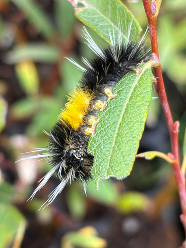
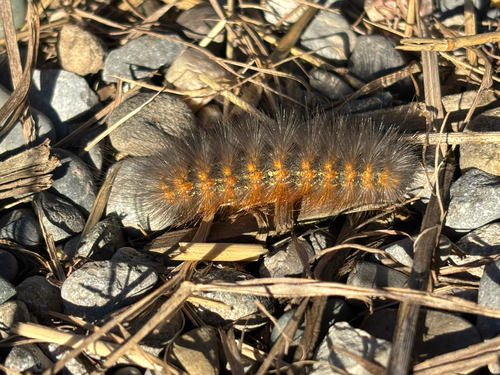

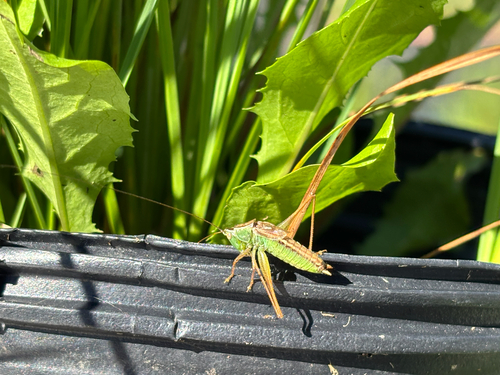
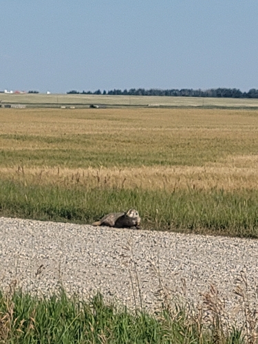

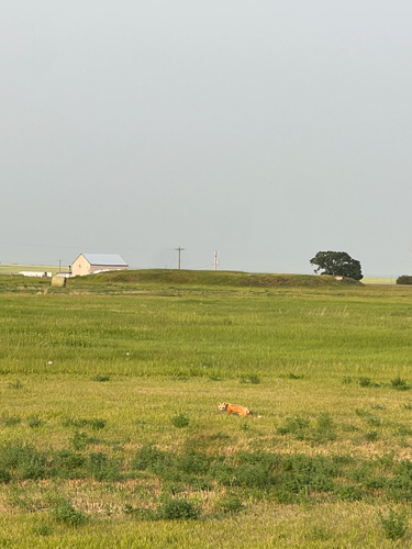

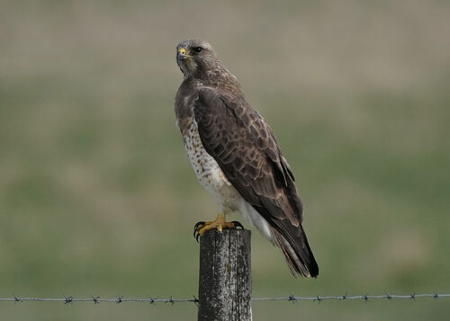
Research-grade observations from iNaturalist (within ~15 mi).
Events
Gallery
Official Identifiers
StatCan — Statistics Canada
- SGC code
- 4805006
- Population (Wikidata)
- 1,769
- Wikidata
- Q1746129
Standard Geographical Classification (SGC) via Wikidata P3012
Sources
- • Wikipedia
- • Wikidata
- • USGS Earthquake Catalog (global feed)
- • GBIF (Global Biodiversity Information Facility)
- • iNaturalist
- • Open-Meteo / sunrise-sunset.org
- • Wikipedia Pageviews API
- • Open Library
- • NASA EONET
- • StatCan — Statistics Canada — Standard Geographical Classification (SGC) via Wikidata P3012