Browse / Canada / Ontario / Welland
Welland
Ontariocity

Welland
Total population
52,293
Founded
1788
Demographic figures from Statistics Canada. Overview below cites Wikipedia and may reference a different year.
City facts
Sister cities
Facts from Wikidata (CC0).
Overview
Welland is a city in the Regional Municipality of Niagara in Southern Ontario, Canada. As of 2021, it had a population of 55,750.
Read more on WikipediaHistory & geography
History
The area was settled in 1788 by United Empire Loyalists who had been granted land by the Crown to compensate for losses due to property they left in the British Thirteen Colonies during and after the American Revolutionary War. Tensions continued between Great Britain and the newly independent United States, and the War of 1812 broke out. On 19 October 1814, Canadian forces led by George Hay, 8th Marquess of Tweeddale, met an American raiding party, numbering approximately nine hundred, near the eastern edge of the present community during the Battle of Cook's Mills. After an intense skirmish, the Americans retreated to Buffalo, New York. Cook's Mills was the second to last engagement of the War of 1812 on Canadian soil. The First Welland Canal was extended in 1833 to reach Lake Erie and has influenced development of this city ever since. A wooden aqueduct was built to carry the Welland Canal over the Welland River at what is now downtown Welland, and the area became known as simply Aqueduct. A lock to cross from the canal to the river and vice versa was also built. A small shantytown soon developed around the facility, providing essential services in what was a convenient stop-over location for travellers and workers on the canal. The growing town was later named Merrittsville, after William Hamilton Merritt, the initiator of the Welland Canal project. This name is reflected in the name of the Merrittville Highway (Niagara Road 50), which served as the primary north–south route in central Niagara before the construction of Highway 406. Welland gained its present name when it was incorporated on 25 July 1858. It became a city in 1917. One of the few railway crossings across the canal was near Welland. Together with the canal, these two factors attracted the…
Geography
Welland is located in the centre of south Niagara. Over the years, urban growth has all but united the northwest part of Welland with the community of Fonthill. Prior to the Welland By-Pass project, the Welland Canal cut through the centre of Welland. As a result, a very prominent split was created between the east side and the west side of the city. The west side grew primarily to the north, while the east side expanded south. The west side also became the more affluent of the two. Today, even though the canal traffic no longer causes regular interruption in the traffic across the city, the channel lives on as Welland Recreational Waterway. The waterway still serves as a very prominent visual feature dividing the city, and it is perhaps for this reason that the east side/west side division is still very much alive in the minds of Wellanders. East side and west side are very commonly used as basic directions. The communities of Cooks Mills and Dain City have their own separation stories. Cooks Mills, located on the other side of the By-Pass channel than the rest of Welland, has arguably been protected against the impact of urban sprawl, but the necessity of using one of the two highway tunnels to cross the canal causes some residents to head to nearby Niagara Falls instead. Dain City, located in the south of the city where the two channels meet, is separated by the massive approaches to the Townline Tunnel required to provide the low grade for the rail lines that use the tunnel. Dain City was built for, and by, the Dain Manufacturing Company (Now known as John Deere), the main employer in the area, as a "company town." John Deere announced in September 2008 that it would be closing its plant and relocating manufacturing to Wisconsin and Mexico. There is a slight…
Excerpted from the corresponding Wikipedia article (CC BY-SA).
Geography
Coordinates & boundaries from the US Census TIGER/Line shapefiles.
Climate
Air quality
Walkability
Amenities nearby
Wildlife & biodiversity
Earthquake history
Photos
Sights & places nearby
Notable people from here


People born within ~10 km, from Wikidata (CC0). Click any name for their Wikipedia article.
Geography & sun
Elevation, sunrise/sunset and daylight from Open-Meteo. Solar climatology from NASA POWER.
Nearby airports
Public attention
Pageview totals from the Wikimedia Pageviews API.
Books about Welland
Search results from Open Library.
Recent natural events nearby
Ground air-quality sensors
Recently spotted species
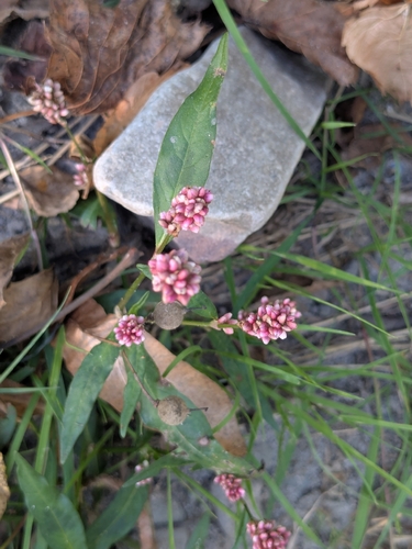
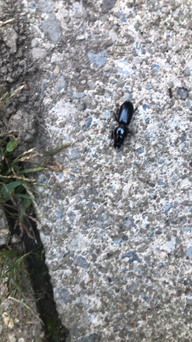
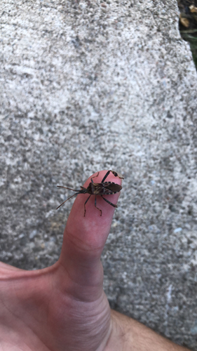
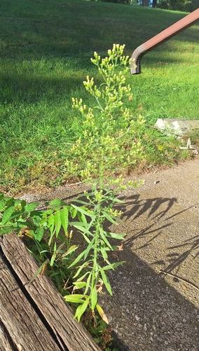
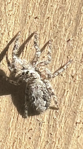
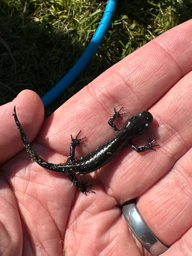
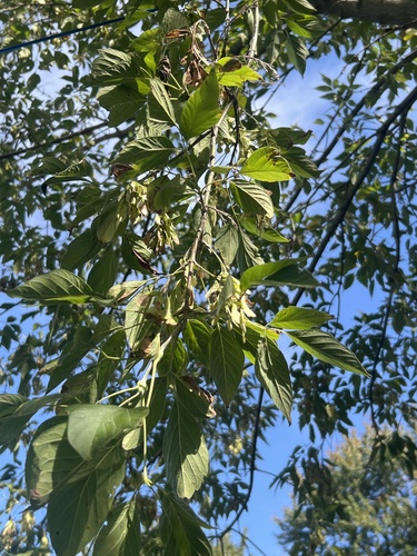
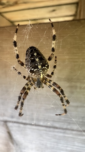
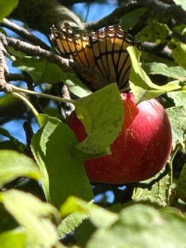
Research-grade observations from iNaturalist (within ~15 mi).
Events
Gallery
Official Identifiers
StatCan — Statistics Canada
- SGC code
- 3526032
- Population (Wikidata)
- 52,293
- Wikidata
- Q424773
Standard Geographical Classification (SGC) via Wikidata P3012
Sources
- • Wikipedia
- • Wikidata
- • iNaturalist
- • Open-Meteo / sunrise-sunset.org
- • Wikipedia Pageviews API
- • Open Library
- • StatCan — Statistics Canada — Standard Geographical Classification (SGC) via Wikidata P3012