Browse / Canada / British Columbia / Wells
Wells
British Columbiavillage
Total population
245
Founded
1998
Demographic figures from Statistics Canada. Overview below cites Wikipedia and may reference a different year.
City facts
Facts from Wikidata (CC0).
Overview
Wells is a small mining and tourist town in the Cariboo District of central British Columbia, located on BC Highway 26, 74 km (46 mi) from Quesnel and 8 km (5 mi) before the highway's terminus at Barkerville. It gains much of its revenue and jobs from tourists who pass through on their way to the Bowron Lake Provincial Park and to the historic museum town of Barkerville.
Read more on WikipediaHistory & geography
History
Originally a company town, it was managed by Cariboo Gold Quartz Mine. Fred M. Wells, for whom the town was named, prospected in the area for 10 years before finding the minerals that built the company. At its heyday of the 1930s, Wells sported 4500 people. In 1942 it had a greater population than Quesnel or Prince George. The closure of the gold and other mineral mines in 1967 took its toll on the town and most of the population moved away. Today it has a listed population of just 250 which doubles during the summer months. Between May and September, Wells sees over 100,000 tourists pass through on their way to Barkerville. Some visitors stay or camp overnight in Wells, which has an active arts and outdoor entertainment sector. During the winter months, visitors come for the cross-country ski trails, snowmobiling, and artistic and study retreats.
Excerpted from the corresponding Wikipedia article (CC BY-SA).
Geography
Coordinates & boundaries from the US Census TIGER/Line shapefiles.
Climate
Air quality
Walkability
Amenities nearby
Wildlife & biodiversity
Earthquake history
Photos
Sights & places nearby
Notable people from here

People born within ~10 km, from Wikidata (CC0). Click any name for their Wikipedia article.
Nearby places in British Columbia
Geography & sun
Elevation, sunrise/sunset and daylight from Open-Meteo. Solar climatology from NASA POWER.
Nearby airports
Public attention
Pageview totals from the Wikimedia Pageviews API.
Books about Wells


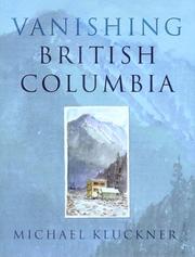

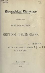
Search results from Open Library.
Recent natural events nearby
Ground air-quality sensors
Recently spotted species
Events
Gallery
Official Identifiers
StatCan — Statistics Canada
- SGC code
- 5941025
- Population (Wikidata)
- 217
- Wikidata
- Q283718
Standard Geographical Classification (SGC) via Wikidata P3012
Sources
- • Wikipedia
- • Wikidata
- • Open-Meteo / sunrise-sunset.org
- • Wikipedia Pageviews API
- • Open Library
- • StatCan — Statistics Canada — Standard Geographical Classification (SGC) via Wikidata P3012