Browse / Canada / Quebec / ᐐᒥᓂᒌ Wemindji
ᐐᒥᓂᒌ Wemindji
Quebectown

ᐐᒥᓂᒌ Wemindji
Total population
1,238
Demographic figures from Statistics Canada. Overview below cites Wikipedia and may reference a different year.
City facts
Facts from Wikidata (CC0).
Overview
Wemindji is a small Cree community on the east coast of James Bay at the mouth of the Maquatua River in Quebec, Canada. It is the seat of the Cree Nation of Wemindji. The community is located within the federal riding of Abitibi—Baie-James—Nunavik—Eeyou, currently represented in the House of Commons by Sylvie Bérubé of the Bloc Québécois. The community has a population of approximately 1,500 people. Around 1,600 are affiliated to the Cree Nation of Wemindji and around 200 do not reside on the territory of Wemindji.
Read more on WikipediaHistory & geography
History
Wemindji is a fairly new community comprising Cree families originally living at the trading post in Cree named "Paakumshumwashtikw", in French Vieux-Comptoir River, known as Vieux-Comptoir or its English equivalent "Old Factory". This trading post was founded in the 17th century and was alternately under British or French control. In 1959 the community was relocated about 45 km north to its present location (where Wemindji is now). Wemindji (Cree for "red ochre mountain") gets its name from the red pigment found in the hills surrounding it. It has also been known in French as "Nouveau-Comptoir". The Cree Nation of Wemindji is one of the nine communities under the James Bay and Northern Quebec Agreement signed on 1975 by the Cree, Inuit, Quebec government and federal government. The Cree went on an injunction to make an agreement on the project of hydro development because the Quebec government and hydro development failed to recognize the Cree's rights to their land. In 1975, the [James Bay and Northern Quebec Agreement] between the Crown and the indigenous people in Canada was the first leading agreement since the numbered treaties of the 19th and early 20th centuries. From 1973 to 1975, this agreement was negotiated and on November 11, 1975, it was signed. As specified in the agreement, the Aboriginal people traded their rights and territorial interests for different rights and benefits. Special membership was insisted by the Aboriginal people to allow them to take charge in their local and regional government, The creation of their own health and school boards, measures for economic and community development, special regimes for police and justice and environmental protection. The agreement allowed them to gain a technical definition of the La Grande…
Excerpted from the corresponding Wikipedia article (CC BY-SA).
Geography
Coordinates & boundaries from the US Census TIGER/Line shapefiles.
Climate
Air quality
Walkability
Amenities nearby
Wildlife & biodiversity
Most-observed species
- American herring gull, Smithsonian GullLarus smithsonianus Coues, 1862 · Aves27
- White-throated SparrowZonotrichia albicollis (J.F.Gmelin, 1789) · Aves27
- American RobinTurdus migratorius Linnaeus, 1766 · Aves22
- Swainson's ThrushCatharus ustulatus (Nuttall, 1840) · Aves19
- Arctic TernSterna paradisaea Pontoppidan, 1763 · Aves18
- Yellow WarblerSetophaga petechia (Linnaeus, 1766) · Aves16
- Dark-eyed JuncoJunco hyemalis (Linnaeus, 1758) · Aves16
- American CrowCorvus brachyrhynchos C.L.Brehm, 1822 · Aves15
Citizen-science & research observations from the Global Biodiversity Information Facility (GBIF).
Earthquake history
Events from the USGS Earthquake Catalog (global) (FDSN Event Web Service).
Photos
Sights & places nearby
Notable people from here
Nearby places in Quebec
- Sakami122.8 mi away
- ᑰᔾᔪᐊᕌᐱᒃ ᐙᐸᒣᑯᔥᑐᐃ Kuujjuarapik-Whapmagoostui162.8 mi away
- Umiujaq261.2 mi away · pop. 444
- Val-Paradis266.8 mi away
- Villebois270.4 mi away
- Mistissini276.9 mi away · pop. 3,285
- Normétal278 mi away
- Val-Saint-Gilles278.3 mi away
- Saint-Lambert281.4 mi away · pop. 21,555
- Authier-Nord288.1 mi away
- Guyenne292.4 mi away
- Colombourg294.4 mi away
Geography & sun
Elevation, sunrise/sunset and daylight from Open-Meteo. Solar climatology from NASA POWER.
Nearby airports
Public attention
Pageview totals from the Wikimedia Pageviews API.
Books about this place
Recent natural events nearby
Ground air-quality sensors
Recently spotted species
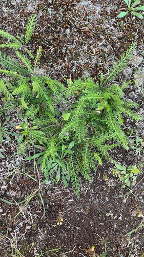
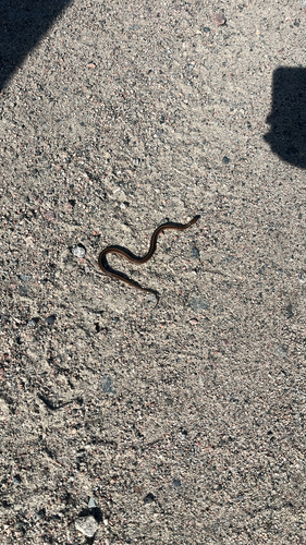
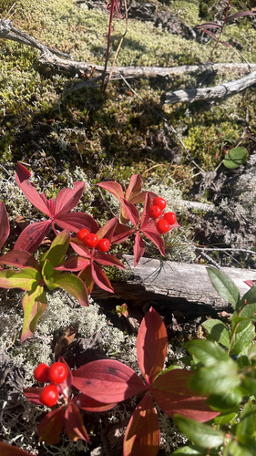
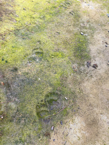
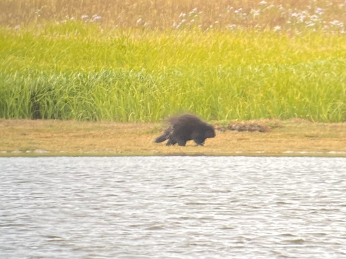
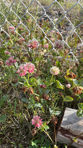
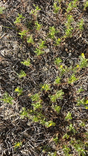
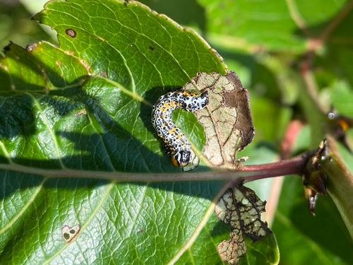
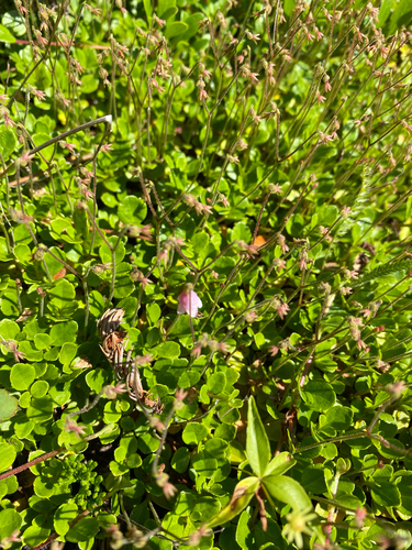
Research-grade observations from iNaturalist (within ~15 mi).
Events
Gallery
Sources
- • Wikipedia
- • Wikidata
- • USGS Earthquake Catalog (global feed)
- • GBIF (Global Biodiversity Information Facility)
- • iNaturalist
- • Open-Meteo / sunrise-sunset.org
- • Wikipedia Pageviews API