Browse / Canada / Quebec / Wendake
Wendake
Quebecvillage

Wendake
Total population
2,134
Demographic figures from Statistics Canada. Overview below cites Wikipedia and may reference a different year.
City facts
Overview
Wendake is the current name for two urban reserves, Wendake 7 and Wendake 7A, of the Wendat Nation in the Canadian province of Quebec. They are enclaves entirely surrounded by the La Haute-Saint-Charles borough of Quebec City, within the former city of Loretteville. One of the Seven Nations of Canada, the settlement was formerly known as Village-des-Hurons, and also as (Jeune)-Lorette.
Read more on WikipediaHistory & geography
History
Archeologists have excavated 16th-century settlements north of Lake Ontario at the Mantle Site (2005), Aurora Site and Ratcliff Site in Whitchurch-Stouffville, Ontario, all attesting to distinctly Wendat (Huron) occupancy. They have concluded the people coalesced in this area as a distinct group. Later they migrated to the Georgian Bay area, where they encountered Europeans in the 17th century. Until the middle of the 17th century, the Wendake ancestors occupied a vast territory straddling part of what is now the United States (from Detroit to south-eastern Ontario (Penetanguishene and Midland) and Quebec. They hunted and trapped throughout this territory (mainly in the Laurentian Mountains, between the central section of the Saint-Maurice and the Saguenay rivers). Between 1634 and 1650, the Wendat Confederation was dismembered; its families, having been gathered into four or five tribes, were dispersed. It is estimated that the Wendat population totalled approximately 20,000 to 30,000 people in 1634. By 1650, only a few hundred individuals remained. Most had been decimated by infectious disease epidemics, to which they had no natural immunity; survivors were attacked by wars, especially by the Haudenosaunee Confederacy, who pushed from the south (present-day New York) trying to control hunting grounds and the fur trade. Part of the Wendat population had also been integrated into the Haudenosaunee Confederation. The survivors of this tragic period divided into two groups in Canada: the Great-Lake Wyandot and the Huron-Wendat. The latter were the ancestors of the Wendat of Wendake. This marked the beginning of a period of exile for the 300 or so Wendat who remained, an era during which they would occupy as many as six different sites in the province of Quebec.…
Excerpted from the corresponding Wikipedia article (CC BY-SA).
Geography
Coordinates & boundaries from the US Census TIGER/Line shapefiles.
Climate
Air quality
Walkability
Amenities nearby
Wildlife & biodiversity
Earthquake history
Photos
Sights & places nearby
Notable people from here


People born within ~10 km, from Wikidata (CC0). Click any name for their Wikipedia article.
Nearby places in Quebec
- Lac-Delage8.2 mi away
- Sainte-Pétronille10.2 mi away
- Boischatel10.7 mi away · pop. 4,751
- L'Ange-Gardien13.1 mi away · pop. 2,946
- Neuville15.5 mi away · pop. 4,475
- Saint-Laurent-de-l'Île-d'Orléans16.4 mi away
- Saint-Antoine de Tilly17 mi away
- Saint-Henri17.7 mi away
- Château-Richer17.7 mi away · pop. 4,425
- Saint-Lambert-de-Lauzon19.8 mi away
- Saint-Charles-de-Bellechasse20.4 mi away
- Notre-Dame-du-Sacré-Cœur-d'Issoudun23.2 mi away · pop. 867
Geography & sun
Elevation, sunrise/sunset and daylight from Open-Meteo. Solar climatology from NASA POWER.
Nearby airports
Public attention
Pageview totals from the Wikimedia Pageviews API.
Books about Wendake

Search results from Open Library.
Recent natural events nearby
Ground air-quality sensors
Recently spotted species
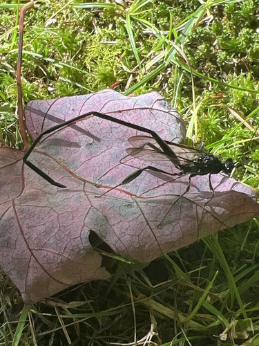
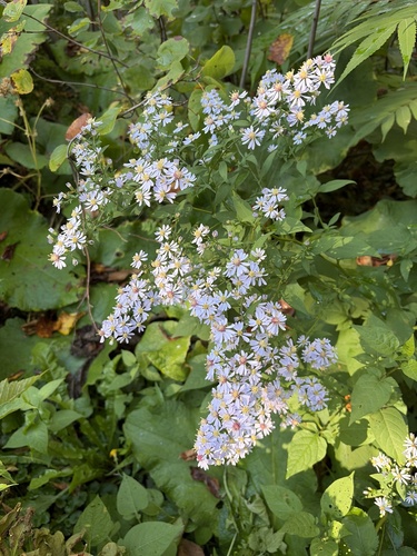
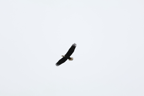
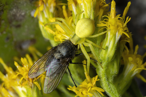
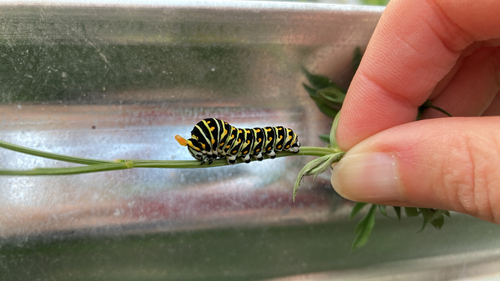
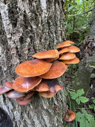
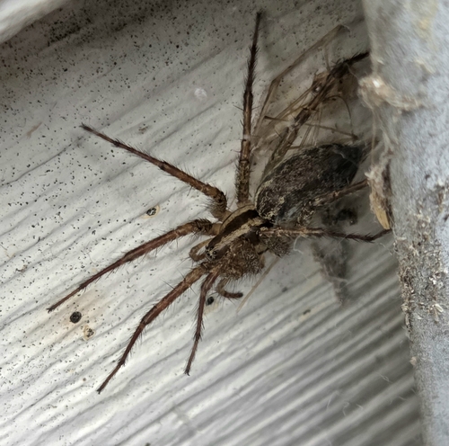
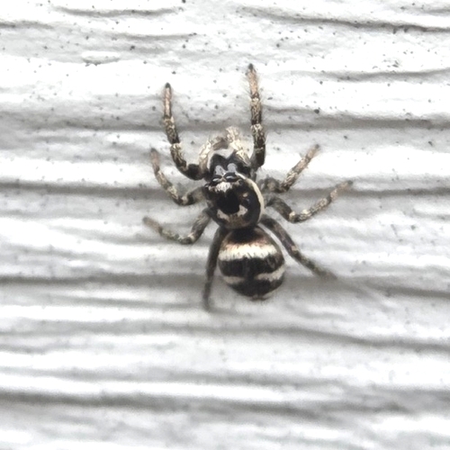
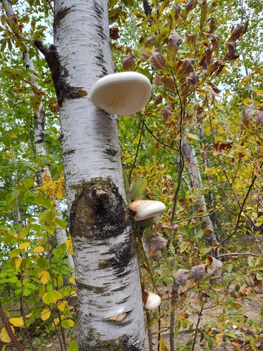
Research-grade observations from iNaturalist (within ~15 mi).
Events
Gallery
Official Identifiers
StatCan — Statistics Canada
- SGC code
- 2423802
- Population (Wikidata)
- 2,200
- Wikidata
- Q3567224
Standard Geographical Classification (SGC) via Wikidata P3012
Sources
- • Wikipedia
- • Wikidata
- • iNaturalist
- • Open-Meteo / sunrise-sunset.org
- • Wikipedia Pageviews API
- • Open Library
- • StatCan — Statistics Canada — Standard Geographical Classification (SGC) via Wikidata P3012