Browse / Canada / British Columbia / West Kelowna
West Kelowna
British Columbiacity

West Kelowna
Total population
36,078
Founded
2007
Demographic figures from Statistics Canada. Overview below cites Wikipedia and may reference a different year.
City facts
Facts from Wikidata (CC0).
Overview
West Kelowna, formerly known as Westside and colloquially known as Westbank, is a city in British Columbia's Okanagan Valley on the west shore of Okanagan Lake. The city encompasses several neighbourhoods, including Casa Loma, Gellatly, Glenrosa, Lakeview Heights, Shannon Lake, Smith Creek, Rose Valley, Westbank, and West Kelowna Estates. As of 2021, West Kelowna had an estimated population of 36,078.
Read more on WikipediaHistory & geography
History
A post office was opened in Westbank in 1902 and was named for its location on Okanagan Lake. The name was suggested by John Davidson who arrived in the district in 1892. Westside District Municipality was established December 6, 2007. Prior to that date, the Westside had been governed as a rural area under the Central Okanagan Regional District since the 1970s. A June 2007 referendum offered residents the choice to change the governance structure, and a subsequent choice between incorporating as a municipality or amalgamating with the neighbouring City of Kelowna. On June 16, residents voted to change the Westside's governance structure, and also to incorporate by a slim margin of 5,924 to 5,582; voter turnout was approximately 48%. In the fall of 2007, Rosalind Neis was elected as the first mayor of the newly incorporated area for a special one year term after running a campaign based on reversing the referendum result in order to pursue amalgamation with Kelowna. Despite winning the election, Neis did not ultimately pursue amalgamation. Neis did not run for mayor in the 2008 municipal election, which saw Doug Findlater elected mayor; Findlater would go on to serve three terms in the role. West Kelowna won over Westbank by a margin of 3,841 to 3,675. The West Kelowna name was confirmed by the municipal council on December 9, 2008 and became official January 30, 2009, after the Government of British Columbia approved the change to the Letters Patent. In 2015, West Kelowna officially became classified as a city. In August 2023, high winds caused a wildfire in McDougall Creek to rapidly expand and threaten the city. Many properties burned down, including a historic resort on Okanagan Lake, leading to extensive evacuations. Ultimately, over fifty homes were destroyed…
Geography
The City of West Kelowna is located on the central western shores and hillsides of Okanagan Lake. It is the primary gateway to the Central Okanagan from the west via Highway 97C, the Okanagan Connector. Neighbourhoods within the city's jurisdiction include Goats Peak/Gellatly, Glenrosa, Shannon Lake, Smith Creek, Westbank Centre, and Westbank in the south, which comprise approximately half of the total population, and Westside Road/Bear Creek Road, West Kelowna Estates/Rose Valley, Bartley North, West Kelowna Business Park, Boucherie Centre, South Boucherie, Lakeview Heights, and Casa Loma in the north. Many of these neighbourhoods, including Glenrosa, Gellatly, Lakeview Heights, Sunnyside, and Westbank, have rich histories, some dating to the early to mid-19th century. Bordering the City of West Kelowna are the District of Peachland, Central Okanagan West Electoral Area, and two self-governing reserves of the Westbank First Nation (WFN), Tsinstikeptum 9 and Tsinstikeptum 10. As of 2008, 6,215 people lived on the reserves, including 510 people registered under the Indian Act.
Excerpted from the corresponding Wikipedia article (CC BY-SA).
Geography
Coordinates & boundaries from the US Census TIGER/Line shapefiles.
Climate
Air quality
Walkability
Amenities nearby
Wildlife & biodiversity
Earthquake history
Photos
Sights & places nearby
Notable people from here

People born within ~10 km, from Wikidata (CC0). Click any name for their Wikipedia article.
Nearby places in British Columbia
Geography & sun
Elevation, sunrise/sunset and daylight from Open-Meteo. Solar climatology from NASA POWER.
Nearby airports
Public attention
Pageview totals from the Wikimedia Pageviews API.
Books about West Kelowna

Search results from Open Library.
Recent natural events nearby
- Wildfire Thunder Creek, Skagit, WashingtonWildfires · 2026-08-22 · 112 mi
- Wildfire Electric, Whatcom, WashingtonWildfires · 2026-08-22 · 118 mi
- Wildfire SISI, Chelan, WashingtonWildfires · 2026-08-14 · 119 mi
- Wildfire HUDSPETH, Stevens, WashingtonWildfires · 2026-08-01 · 138 mi
- Wildfire MITRE ROCK, Stevens, WashingtonWildfires · 2026-08-01 · 146 mi
- Wildfire Parker Lake, Boundary, IdahoWildfires · 2026-08-23 · 150 mi
- Wildfire Silver, Boundary, IdahoWildfires · 2026-08-23 · 157 mi
- Wildfire AUTUMN LANE, Spokane, WashingtonWildfires · 2026-08-01 · 168 mi
Wildfires, storms and other events from NASA EONET (last 12 months, within 250 mi).
Ground air-quality sensors
Recently spotted species
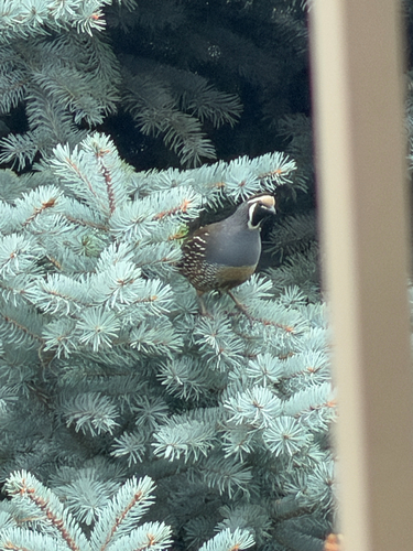
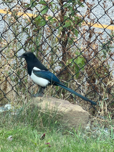
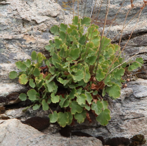
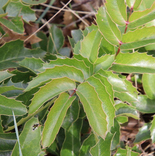
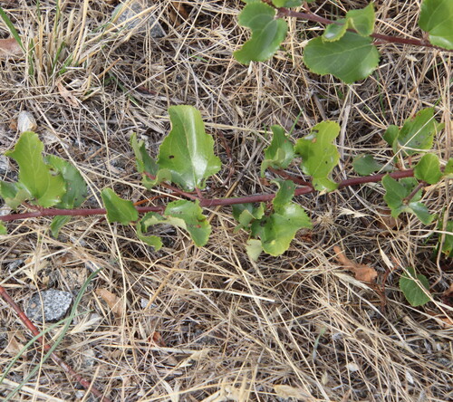
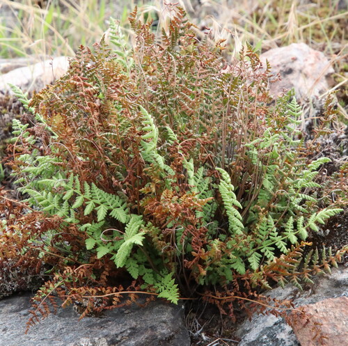
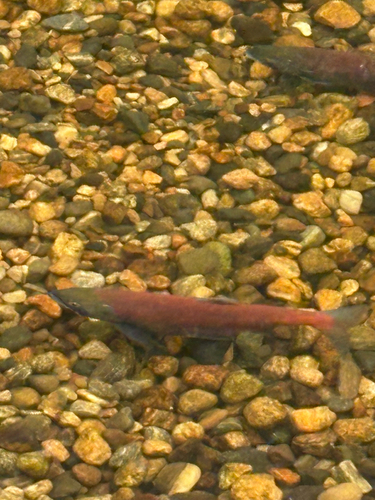
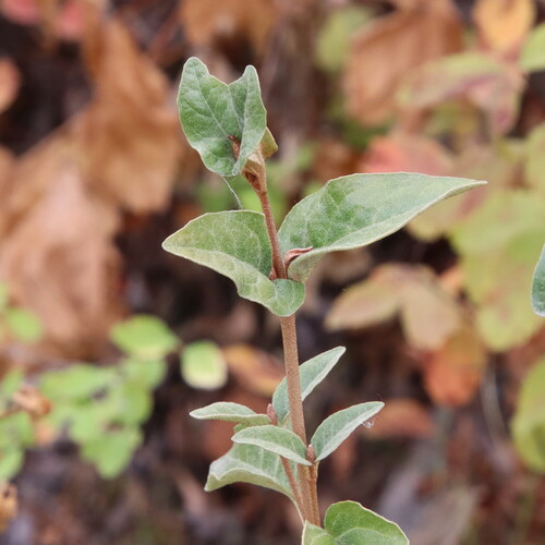
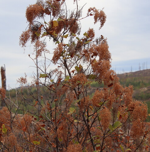
Research-grade observations from iNaturalist (within ~15 mi).
Events
Gallery
Official Identifiers
StatCan — Statistics Canada
- SGC code
- 5935029
- Wikidata
- Q5958093
Standard Geographical Classification (SGC) via Wikidata P3012
Sources
- • Wikipedia
- • Wikidata
- • iNaturalist
- • Open-Meteo / sunrise-sunset.org
- • Wikipedia Pageviews API
- • Open Library
- • NASA EONET
- • StatCan — Statistics Canada — Standard Geographical Classification (SGC) via Wikidata P3012