Browse / Canada / Ontario / Wheatley
Wheatley
Ontariotown

Wheatley
Total population
3,060
Demographic figures from Statistics Canada. Overview below cites Wikipedia and may reference a different year.
City facts
Overview
Wheatley is a community in Southwestern Ontario, Canada, within the municipality of Chatham-Kent. It lies about 12 kilometres (7 mi) east of Leamington. Nearby parks include Two Creeks Conservation Area, which has 15 km of hiking and bicycling paths, Kopegaron Woods Conservation Area, Hillman Marsh Conservation Area and Point Pelee National Park. Rondeau Provincial Park is only a forty-five-minute drive to the east. It also boasts Wheatley Provincial Park, home to the endangered Blue Racer snake, which can only be found in the park as well as the Point Pelee National Park and on Pelee Island.
Read more on WikipediaHistory & geography
History
Prior to the arrival of white settlers, the area was home to a population of indigenous people known as Neutrals, an Iroquoian tribe of the south. The indigenous Neutrals were experts in making arrowheads, spear points, and tomahawks. The flint beds located along the shores of Lake Erie were the source of the hard-stone building materials. The year 1818 saw the beginning of construction of the southwestern portion of Talbot Road. Col. Burwell, the chief surveyor, was hired by Col. Thomas Talbot (a British officer and land developer) to supervise the construction of the road which eventually stretched over 300 miles along the shoreline of Lake Erie. Following the completion of the road, settlers arrived and began taking up crown lands. The first settler, Wheatley, arrived from England. Wheatley had been named "Pegtown" prior to the arrival of its first permanent settler Richard Wheatley who built a home on lot 218 Talbot trail in 1832. He was proceeded by such families as the Derbyshires, Lamarshs, Juliens and Ivisons most of whom can be found in directories and on local street signs in the area. Many speculate that the town was referred to as Pegtown due to the construction of homes on stilts/pegs due to the marshlands located near the lake. The origin of the name remain unclear as other theories exist. The name "Pegtown" was eventually discarded as Richard Wheatley's son in law, William Buchanan opened a post office (1865) and renamed the town in honor of its first permanent resident. In 1913, the existing political structure of the village was deemed outdated. As a result, half of the town fell under the jurisdiction of Mersea Township in Essex County whilst the other fell under Romney Township in Kent County. A petition was presented to parliament on 19 February…
Excerpted from the corresponding Wikipedia article (CC BY-SA).
Geography
Coordinates & boundaries from the US Census TIGER/Line shapefiles.
Climate
Air quality
Walkability
Amenities nearby
Wildlife & biodiversity
Earthquake history
Photos
Sights & places nearby
Notable people from here

People born within ~10 km, from Wikidata (CC0). Click any name for their Wikipedia article.
Nearby places in Ontario
Geography & sun
Elevation, sunrise/sunset and daylight from Open-Meteo. Solar climatology from NASA POWER.
Nearby airports
Public attention
Pageview totals from the Wikimedia Pageviews API.
Books about Wheatley


Search results from Open Library.
Recent natural events nearby
Ground air-quality sensors
Recently spotted species
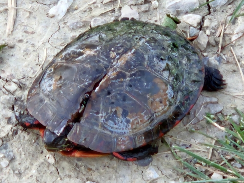
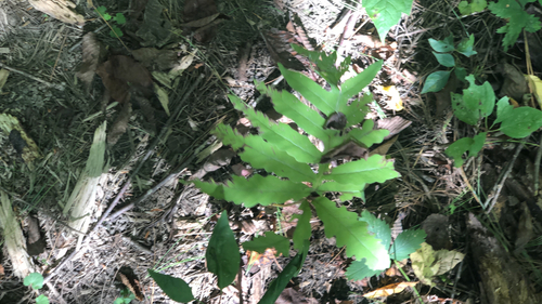
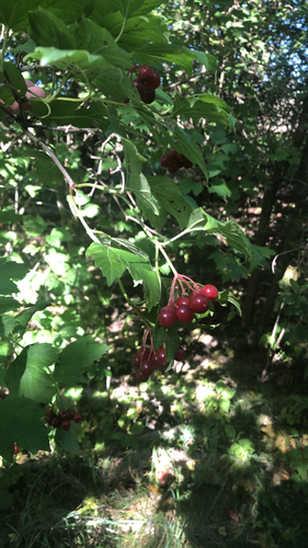
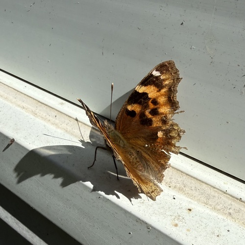
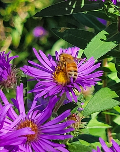
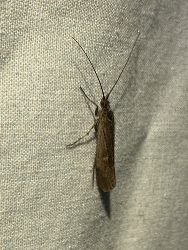
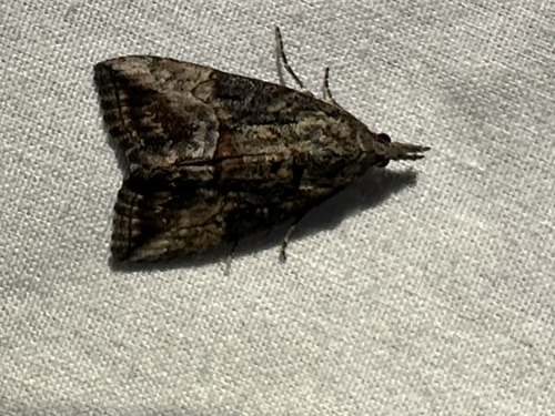
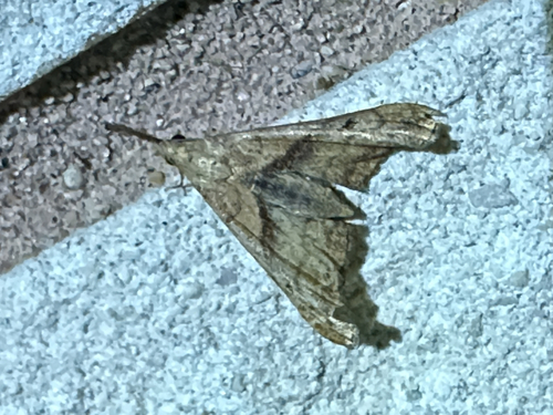
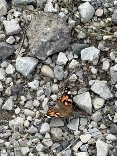
Research-grade observations from iNaturalist (within ~15 mi).
Events
Gallery
Sources
- • Wikipedia
- • Wikidata
- • iNaturalist
- • Open-Meteo / sunrise-sunset.org
- • Wikipedia Pageviews API
- • Open Library