Browse / Canada / British Columbia / Wilmer
Wilmer
British Columbiavillage
Demographic figures from Statistics Canada. Overview below cites Wikipedia and may reference a different year.
City facts
Overview
Set in British Columbia, Canada, Wilmer is recorded in open geodata as a village. Its coordinates of 50.540°, -116.061° place it in the cool-temperate zone of the northern hemisphere. Up-to-date population figures for this locality are not available in the open datasets we monitor. Open solar datasets indicate about 1,186 kWh/m² of solar irradiance per year, combined with sunshine for roughly 46% of daylight hours. The latitude suggests long cool seasons and short, mild summers. Further detail — demographics, climate, nearby amenities and natural-hazard data — is compiled below from public open-data sources.
Summary composed automatically from structured open data on this page. See our Terms for details.
History & geography
Geography
Coordinates & boundaries from the US Census TIGER/Line shapefiles.
Climate
Air quality
Walkability
Amenities nearby
Wildlife & biodiversity
Most-observed species
- Northern FlickerColaptes auratus (Linnaeus, 1758) · Aves1,555
- Common RavenCorvus corax Linnaeus, 1758 · Aves1,484
- American CrowCorvus brachyrhynchos C.L.Brehm, 1822 · Aves1,465
- Dark-eyed JuncoJunco hyemalis (Linnaeus, 1758) · Aves1,394
- American RobinTurdus migratorius Linnaeus, 1766 · Aves1,350
- Mountain ChickadeePoecile gambeli (Ridgway, 1886) · Aves1,296
- Red-breasted NuthatchSitta canadensis Linnaeus, 1766 · Aves1,206
- Bald EagleHaliaeetus leucocephalus (Linnaeus, 1766) · Aves1,173
Citizen-science & research observations from the Global Biodiversity Information Facility (GBIF).
Earthquake history
Most recent
- M 2.7 — 2023-06-0716 km NNW of Elkford, Canada
- M 3.9 — 2023-02-05British Columbia, Canada
- M 2.76 — 2021-04-089 km SW of Elkford, Canada
- M 4.1 — 2021-02-145 km N of Banff, Canada
- M 3.3 — 2017-05-2323 km NNW of Elkford, Canada
- M 2.79 — 2016-02-2426 km NNW of Kimberley, Canada
Events from the USGS Earthquake Catalog (global) (FDSN Event Web Service).
Photos
Sights & places nearby
Notable people from here
Nearby places in British Columbia
Geography & sun
Elevation, sunrise/sunset and daylight from Open-Meteo. Solar climatology from NASA POWER.
Nearby airports
Public attention
Pageview totals from the Wikimedia Pageviews API.
Books about this place
Recent natural events nearby
- Wildfire Parker Lake, Boundary, IdahoWildfires · 2026-08-23 · 118 mi
- Wildfire Silver, Boundary, IdahoWildfires · 2026-08-23 · 135 mi
- Wildfire Skillet, Lincoln, MontanaWildfires · 2026-07-29 · 151 mi
- Wildfire Deer Creek, Lincoln, MontanaWildfires · 2026-08-20 · 170 mi
- Wildfire BRADEEN HILL, Stevens, WashingtonWildfires · 2026-07-25 · 179 mi
- Wildfire HUDSPETH, Stevens, WashingtonWildfires · 2026-08-01 · 194 mi
- Wildfire FAIRVIEW, Spokane, WashingtonWildfires · 2026-08-01 · 201 mi
- Wildfire AUTUMN LANE, Spokane, WashingtonWildfires · 2026-08-01 · 202 mi
Wildfires, storms and other events from NASA EONET (last 12 months, within 250 mi).
Ground air-quality sensors
Recently spotted species
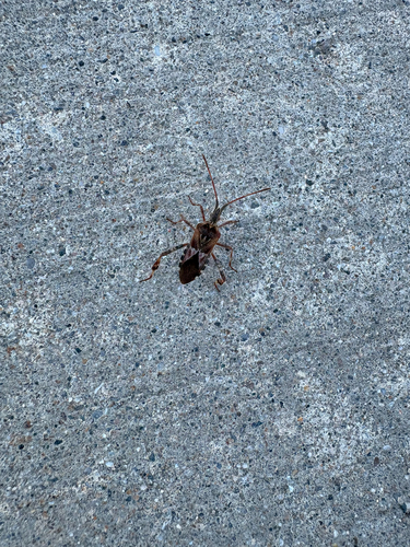
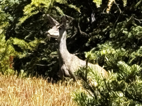
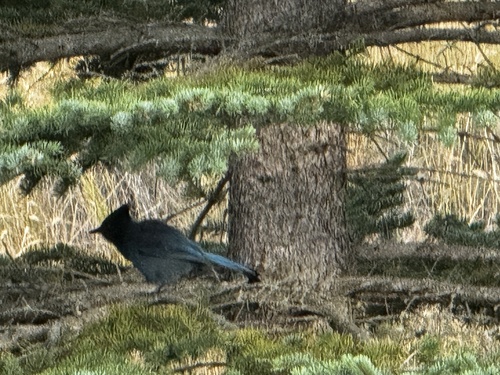
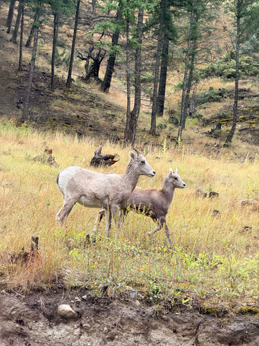
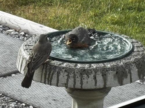
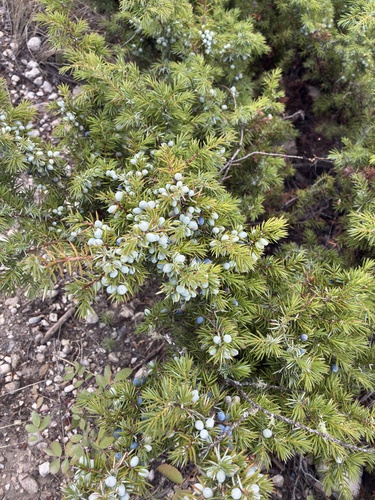
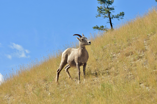
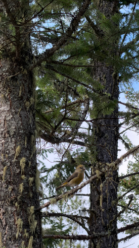
Research-grade observations from iNaturalist (within ~15 mi).
Events
Gallery
Sources
- • USGS Earthquake Catalog (global feed)
- • GBIF (Global Biodiversity Information Facility)
- • iNaturalist
- • Open-Meteo / sunrise-sunset.org
- • Wikipedia Pageviews API
- • NASA EONET