Browse / Canada / Manitoba / Winnipeg
Winnipeg
Manitobacity

Winnipeg
Total population
663,617
Founded
1738
Air quality index
Demographic figures from Statistics Canada. Overview below cites Wikipedia and may reference a different year.
City facts
Sister cities
Facts from Wikidata (CC0).
Overview
Winnipeg is the capital and largest city of the Canadian province of Manitoba. It is centred on the confluence of the Red and Assiniboine rivers. As of 2021, Winnipeg had a city population of 749,607 and a metropolitan population of 834,678, making it Canada's sixth-largest city and eighth-largest metropolitan area. In 2025, Winnipeg surpassed 850,000 residents, the city's estimated population reaching 850,260.
Read more on WikipediaHistory & geography
History
Winnipeg lies at the confluence of the Assiniboine and the Red River of the North, a location now known as "The Forks". This point was at the crossroads of canoe routes travelled by First Nations before European contact. Evidence provided by archaeology, petroglyphs, rock art, and oral history indicates that native peoples used the area in prehistoric times for camping, harvesting, hunting, tool making, fishing, trading and, farther north, for agriculture. Estimates of the date of first settlement in the area range from 11,500 years ago for a site southwest of the present city to 6,000 years ago at the Forks. In 1805, Canadian colonists observed First Nations peoples engaged in farming activity along the Red River. The practice quickly expanded, driven by the demand by traders for provisions. The rivers provided an extensive transportation network linking northern First Peoples with those to the south along the Missouri and Mississippi rivers. The Ojibwe made some of the first maps on birch bark, which helped fur traders navigate the waterways of the area. Sieur de La Vérendrye built the first fur-trading post on the site in 1738, called Fort Rouge. French trading continued at the site for several decades. The British Hudson's Bay Company took over when France ceded the territory following its defeat in the Seven Years' War. Many French men who were trappers married First Nations women; their mixed-race children hunted, traded, and lived in the area. Their descendants are known as the Métis. Lord Selkirk was involved with the first permanent settlement (known as the Red River Colony), the purchase of land from the Hudson's Bay Company, and a survey of river lots in the early 19th century. The North West Company built Fort Gibraltar in 1809, and the Hudson's Bay…
Geography
Winnipeg lies at the bottom of the Red River Valley, a flood plain with an extremely flat topography. It is on the eastern edge of the Canadian Prairies in Western Canada and is known as the "Gateway to the West". It is relatively close to many large Canadian Shield lakes and parks, as well as Lake Winnipeg (the Earth's 11th largest freshwater lake). Winnipeg has North America's largest extant mature urban elm forest. The city has an area of . The city was subject to severe flooding in the past. The Red River reached its greatest flood height in 1826. Another large flood in 1950 caused millions of dollars in damage and mass evacuations. This flood prompted Duff Roblin's provincial government to build the Red River Floodway to protect the city. The generally flat terrain and the poor drainage of the Red River Valley's clay-based soil also results in many mosquitoes during wetter years. Winnipeg's location in the Canadian Prairies gives it a warm-summer humid continental climate (Köppen: Dfb), with warm, humid summers, and long, severely cold winters. Summers have a July mean average of . Winters are the coldest time of year, with the January mean average around and total winter precipitation (December through February) averaging . With 2,353 hours of sunshine per year, Winnipeg is the second-sunniest city in Canada. Total annual precipitation (both rain and snow) is just over . Low wind chill values are a common occurrence in the local climate. The wind chill has gone down as low as , and on average twelve days of the year reach a wind chill below . The highest temperature ever recorded in Winnipeg was during the 1936 North American heat wave. The temperature reached on 11 July 1936 while the highest minimum temperature, recorded on the following day, 12 July 1936,…
Excerpted from the corresponding Wikipedia article (CC BY-SA).
Geography
Coordinates & boundaries from the US Census TIGER/Line shapefiles.
Climate
10-year averages from ERA5 reanalysis (Open-Meteo).
Air quality
Current readings from Open-Meteo Air Quality API (Copernicus CAMS European reanalysis).
Walkability
Amenities nearby
Wildlife & biodiversity
Most-observed species
- Black-capped ChickadeePoecile atricapillus (Linnaeus, 1766) · Aves33,920
- American CrowCorvus brachyrhynchos C.L.Brehm, 1822 · Aves27,029
- Canada Goose (canadensis Group)Branta canadensis (Linnaeus, 1758) · Aves23,460
- House SparrowPasser domesticus (Linnaeus, 1758) · Aves23,445
- White-breasted NuthatchSitta carolinensis Latham, 1790 · Aves22,555
- Downy WoodpeckerDryobates pubescens (Linnaeus, 1766) · Aves19,100
- MallardAnas platyrhynchos Linnaeus, 1758 · Aves16,551
- Blue JayCyanocitta cristata (Linnaeus, 1758) · Aves16,196
Citizen-science & research observations from the Global Biodiversity Information Facility (GBIF).
Earthquake history
Events from the USGS Earthquake Catalog (global) (FDSN Event Web Service).
Photos
Sights & places nearby
Notable people from here


People born within ~10 km, from Wikidata (CC0). Click any name for their Wikipedia article.
Nearby places in Manitoba
- Middlechurch6.6 mi away
- Lister Rapids7.6 mi away
- Birds Hill7.9 mi away
- Rivercrest8.4 mi away
- River’s Edge9.7 mi away
- Gordon11.7 mi away
- Oak Bluff11.7 mi away
- South Headingley12.8 mi away
- Sturgeon Creek Hutterite Colony12.9 mi away
- Narol13.1 mi away
- Dugald13.2 mi away · pop. 614
- Oakbank13.5 mi away · pop. 2,944
Geography & sun
Elevation, sunrise/sunset and daylight from Open-Meteo. Solar climatology from NASA POWER.
Nearby airports
Public attention
Pageview totals from the Wikimedia Pageviews API.
Books about Winnipeg

![[Souvenir of Winnipeg, Manitoba]](https://covers.openlibrary.org/b/id/7176626-M.jpg)

Search results from Open Library.
Recent natural events nearby
- Prescribed Fire RX Flowing 24, Clay, MinnesotaWildfires · 2026-07-15 · 202 mi
- Wildfire Wolfpack, St. Louis, MinnesotaWildfires · 2026-07-09 · 250 mi
- Wildfire Thumb, St. Louis, MinnesotaWildfires · 2026-07-07 · 250 mi
Wildfires, storms and other events from NASA EONET (last 12 months, within 250 mi).
Ground air-quality sensors
Recently spotted species
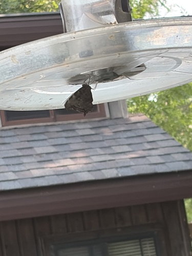
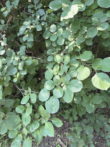
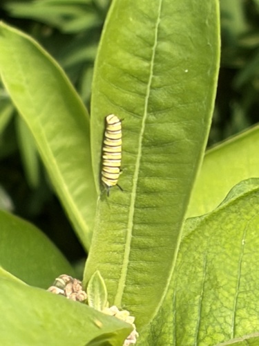
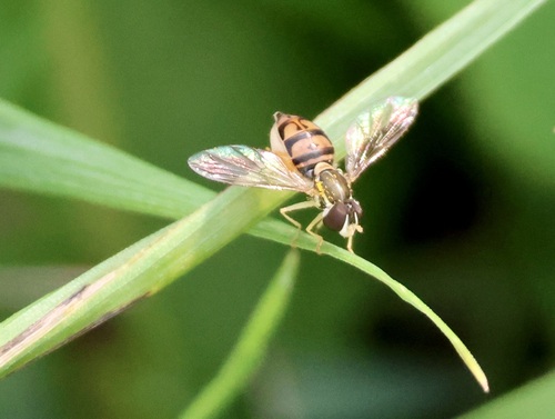
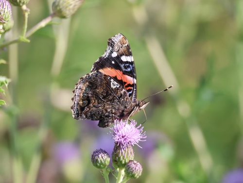
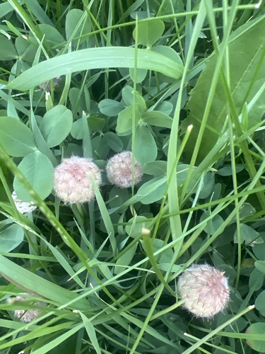
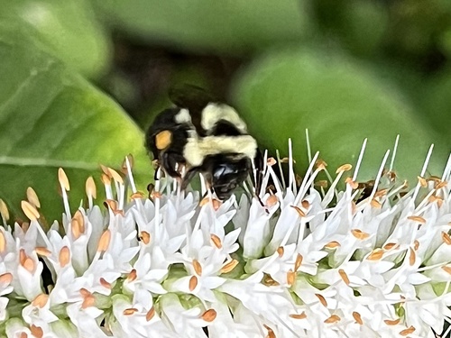
Research-grade observations from iNaturalist (within ~15 mi).
Events
Notable, recurring, and historical events associated with Winnipeg, sourced from Wikidata.
- Jan 1, 1999
- Jan 1, 1999
- athletics at the 1967 Pan American Games – men's long jumpJan 1, 1967sporting event
international sporting event
- athletics at the 1967 Pan American Games – women's 800 metresJan 1, 1967sporting event
international sporting event
- athletics at the 1967 Pan American Games – men's high jumpJan 1, 1967sporting event
international sporting event
- athletics at the 1967 Pan American Games – men's triple jumpJan 1, 1967sporting event
international sporting event
- Jan 1, 1967
- athletics at the 1967 Pan American Games – men's pole vaultJan 1, 1967sporting event
international sporting event
- athletics at the 1967 Pan American Games – men's decathlonJan 1, 1967sporting event
international sporting event
- athletics at the 1967 Pan American Games – men's hammer throwJan 1, 1967sporting event
international sporting event
- athletics at the 1967 Pan American Games – women's shot putJan 1, 1967sporting event
international sporting event
- athletics at the 1967 Pan American Games – women's long jumpJan 1, 1967sporting event
international sporting event
- athletics at the 1967 Pan American Games – women's high jumpJan 1, 1967sporting event
international sporting event
- Jan 1, 1967
- athletics at the 1967 Pan American Games – men's 100 metresJan 1, 1967sporting event
international sporting event
- athletics at the 1967 Pan American Games – women's 100 metresJan 1, 1967sporting event
international sporting event
- athletics at the 1967 Pan American Games – men's 50 kilometres walkJan 1, 1967sporting event
international sporting event
- athletics at the 1967 Pan American Games – men's 800 metresJan 1, 1967sporting event
men's 800 metres at the 1967 Pan American Games
Source: Wikidata (CC0).
Gallery
Geotagged photos within ~6 miles of Winnipeg, from Wikimedia Commons contributors.


.jpg)


.jpg)
.jpg)
.jpg)
.jpg)
.jpg)

.jpg)
.jpg)
.jpg)
.jpg)
.jpg)

_(9443637221).jpg)
_(9446418700).jpg)
_(9446402392).jpg)
_(9445823080).jpg)
_(9443625281).jpg)
_(9443046139).jpg)
_(9445088512).jpg)
Photos via Wikimedia Commons — see each image page for license & attribution.
Official Identifiers
StatCan — Statistics Canada
- SGC code
- 4611040
- Population (Wikidata)
- 749,607
- Wikidata
- Q2135
Standard Geographical Classification (SGC) via Wikidata P3012
Sources
- • Wikipedia
- • Open-Meteo (ERA5 reanalysis)
- • Wikimedia Commons
- • Wikidata
- • Open-Meteo Air Quality (CAMS)
- • USGS Earthquake Catalog (global feed)
- • GBIF (Global Biodiversity Information Facility)
- • iNaturalist
- • Open-Elevation
- • Open-Meteo / sunrise-sunset.org
- • Wikipedia Pageviews API
- • Open Library
- • NASA EONET
- • StatCan — Statistics Canada — Standard Geographical Classification (SGC) via Wikidata P3012