Browse / Canada / Manitoba / Winnipeg Beach
Winnipeg Beach
Manitobatown

Winnipeg Beach
Total population
1,011
Demographic figures from Statistics Canada. Overview below cites Wikipedia and may reference a different year.
City facts
Facts from Wikidata (CC0).
Overview
Winnipeg Beach is a town in the Interlake Region, in the Canadian province of Manitoba. The town was founded in 1900 by Sir William Whyte and is located at the junction of Highway 9 and Highway 229 on the southwestern shore of Lake Winnipeg, about 56 kilometres (35 mi) north of Winnipeg. It is bordered by the Rural Municipality of Gimli, the Rural Municipality of St. Andrews, and Dunnottar as well as Lake Winnipeg. Nearby towns are Ponemah, Whytewold, and Matlock, Gimli, and Sandy Hook,, as well as Teulon, and Selkirk. Its permanent population is 1,439
Read more on WikipediaHistory & geography
History
In 1900, the Canadian Pacific Railway (CPR) purchased of undeveloped shoreline 65 kilometres north of Winnipeg on the southwestern shore of Lake Winnipeg and commenced construction of a resort town. In addition to the attraction of a three kilometre stretch of sandy beach, the CPR also built and offered an array of accommodation, recreation, and amusement facilities, including a prominent dance hall. In the early 1900s, ritzy hotels lined the main street of Winnipeg Beach. Piers, parks and picnic grounds were constructed to accommodate the weekend masses that would travel to Winnipeg Beach from the nearby capital city. By 1913, the summer retreat had become so popular that the CPR had 13 trains running the line between the beach and the City of Winnipeg. The famous Moonlight Special returned to the city at midnight every Saturday for fifty years. The round trip fare was only fifty cents. A boardwalk took strollers along the beach to the carnival concessions and cottages. A wooden roller coaster was one of the largest in the country at the time and carried hundreds of passengers on a busy day. The Pavilion housed a dance floor, reputed to be the largest in Western Canada. The romance of Winnipeg Beach began to wane during the 1950s, and although the beach itself still remained a popular destination, in 1964 the amusement park was permanently closed. Of the many recreation and railway related structures erected by the CPR at Winnipeg Beach, only the steel water tower survives. It was designed and constructed in 1928 by the Vulcan Iron Works Ltd. of Winnipeg. Utilitarian in design and appearance, the tower supported a capacity tank and provided a source of pressurized water for the CPR steam locomotives and fire protection services for the resort's facilities.…
Excerpted from the corresponding Wikipedia article (CC BY-SA).
Geography
Coordinates & boundaries from the US Census TIGER/Line shapefiles.
Climate
Air quality
Walkability
Amenities nearby
Wildlife & biodiversity
Earthquake history
Photos
Sights & places nearby
Notable people from here
Nearby places in Manitoba
- Sandy Hook2.7 mi away
- Dunnottar3.7 mi away
- Husavik4.1 mi away
- Interlake Hutterite Colony9.6 mi away
- Malonton11.7 mi away
- Netley Hutterite Colony11.9 mi away
- Fraserwood14.1 mi away
- Grand Marais15.9 mi away
- Almdals Cove17.7 mi away
- Baaskaandibewi-ziibiing / Brokenhead18 mi away · pop. 600
- Clandeboye18.1 mi away
- Gunton18.2 mi away
Geography & sun
Elevation, sunrise/sunset and daylight from Open-Meteo. Solar climatology from NASA POWER.
Nearby airports
Public attention
Pageview totals from the Wikimedia Pageviews API.
Books about Winnipeg Beach


Search results from Open Library.
Recent natural events nearby
Ground air-quality sensors
Recently spotted species
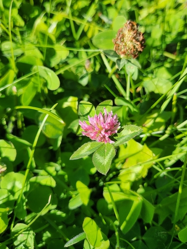
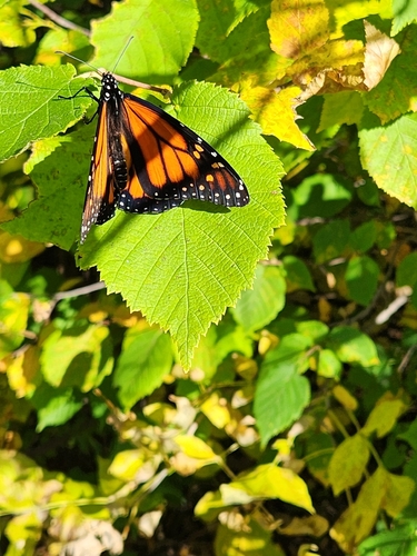
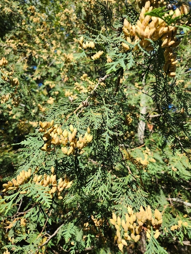
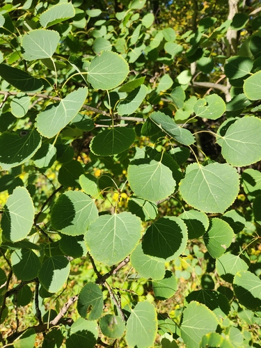
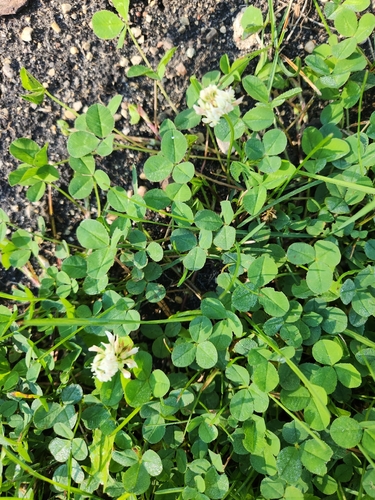
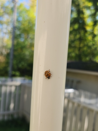
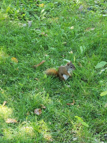
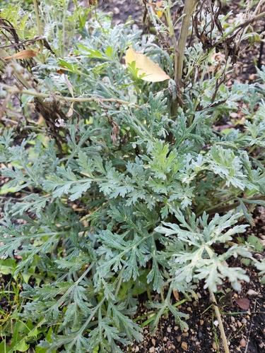
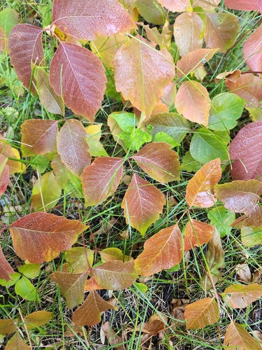
Research-grade observations from iNaturalist (within ~15 mi).
Events
Gallery
Official Identifiers
StatCan — Statistics Canada
- SGC code
- 4618034
- Wikidata
- Q117998
Standard Geographical Classification (SGC) via Wikidata P3012
Sources
- • Wikipedia
- • Wikidata
- • iNaturalist
- • Open-Meteo / sunrise-sunset.org
- • Wikipedia Pageviews API
- • Open Library
- • StatCan — Statistics Canada — Standard Geographical Classification (SGC) via Wikidata P3012