Browse / Canada / Nova Scotia / Wolfville
Wolfville
Nova Scotiatown

Wolfville
Total population
4,195
Founded
1755
Demographic figures from Statistics Canada. Overview below cites Wikipedia and may reference a different year.
City facts
Facts from Wikidata (CC0).
Overview
Wolfville is a Canadian town in the Annapolis Valley, Kings County, Nova Scotia, located about 100 kilometres (62 mi) northwest of the provincial capital, Halifax. The town is home to Acadia University and Landmark East School.
Read more on WikipediaHistory & geography
History
French settlement in the Wolfville area began in about 1680, when Pierre Melanson established his family at Grand-Pré. The Acadians prospered as farmers by enclosing the estuarine salt marshes with dykes, and successfully converting the reclaimed lands into fertile fields for crops and pasturage. In 1710, however, Acadia was lost by the French crown after the English laid siege to Annapolis Royal. Under the 1713 Peace of Utrecht, signed at the close of the War of the Spanish Succession, Acadia was ceded for the final time to the British. For the next 36 years, until the establishment of Halifax in 1749, the British remained at Annapolis Royal and Canso. The French-speaking Catholic population grew over the intervening years to well over 10,000 and the Minas region (Wolfville and environs) quickly became the principal settlement. Acadia was a borderland region between the British and French empires, and this caused a complex socio-political environment to develop for the Acadians. Both the British and the French coaxed and threatened the Acadians in attempts to secure their loyalty, as is evidenced by the various oaths of allegiance each side attempted to extract from them. This complex situation led many Acadians to attempt to maintain a neutral path; while others openly supported either the French or the British. During the War of the Austrian Succession, the Acadians in the Wolfville area were implicated in the Battle of Grand Pré, during which a French military force, reinforced by Mi'kmaq and Acadian allies, defeated a British force. After the outbreak of the Seven Years' War between Great Britain and France, the Acadians in the Wolfville area, along with all Acadians in peninsular Nova Scotia, were involved in the deportations which took place as part of the…
Excerpted from the corresponding Wikipedia article (CC BY-SA).
Geography
Coordinates & boundaries from the US Census TIGER/Line shapefiles.
Climate
Air quality
Walkability
Amenities nearby
Wildlife & biodiversity
Earthquake history
Photos
Sights & places nearby
Notable people from here


People born within ~10 km, from Wikidata (CC0). Click any name for their Wikipedia article.
Geography & sun
Elevation, sunrise/sunset and daylight from Open-Meteo. Solar climatology from NASA POWER.
Nearby airports
Public attention
Pageview totals from the Wikimedia Pageviews API.
Books about Wolfville
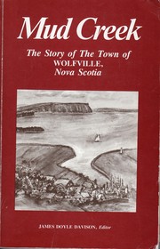
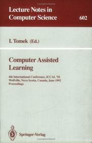
Search results from Open Library.
Recent natural events nearby
Ground air-quality sensors
Recently spotted species
Events
Gallery
Official Identifiers
StatCan — Statistics Canada
- SGC code
- 1207024
- Population (Wikidata)
- 3,772
- Wikidata
- Q475953
Standard Geographical Classification (SGC) via Wikidata P3012
Sources
- • Wikipedia
- • Wikidata
- • Open-Meteo / sunrise-sunset.org
- • Wikipedia Pageviews API
- • Open Library
- • StatCan — Statistics Canada — Standard Geographical Classification (SGC) via Wikidata P3012