Browse / United States / California / Woodland
Woodland
Californiacity

Woodland
Total population
61,854
Median home value
$548,200
Bachelor's+
Median income
$90,180
Founded
1871
Demographic figures from US Census Bureau · ACS 5-year estimates. Overview below cites Wikipedia and may reference a different year.
City facts
Sister cities
- La Piedad de Cabadas
Facts from Wikidata (CC0).
Overview
Woodland is a city in and the county seat of Yolo County, California, United States. Located approximately 15 miles (24 km) northwest of Sacramento, it is a part of the Sacramento metropolitan area.
Read more on WikipediaHistory & geography
History
Before its settlement by people of European descent, the Woodland area was inhabited by the Patwin, a subgroup of the Wintun Native Americans, further divided into the River and Coastal Patwin. Woodland's indigenous roots stem from the River Patwin, who tended to stay closer to the Sacramento River, as opposed to the Coastal Patwin who lived in small valleys in hills and ranges. The Yolotoi, a tribelet of the Patwin, occupied area near Woodland, and settled a village northwest of Woodland, as well as area close to present-day Knights Landing. Although they did not have a permanent settlement in present-day Woodland, it is believed that the River Patwin occupied the Woodland area in seasonal camps for hunting and seed gathering. In 1851, the year after California became a state and Yolo County was formed, "Uncle Johnny" Morris settled at what is now the corner of First and Clover Streets in Woodland. Two years later Henry Wyckoff arrived and built a store he named "Yolo City". The new Yolo City might have stayed a singular store if Frank S. Freeman, the man responsible for the establishment of the post office, had not bought it and acquired of land in 1857. Freeman began to develop a town that he hoped would be a trading center for one of the richest crop-growing areas in America. He gave land to anyone who would clear it and build a home. In 1859, Freeman suggested that the town be called Woodland, which the post office accepted. On July 5, 1861, the Woodland Post Office was established and Freeman became Postmaster. He lost no time in developing the town by leasing or selling commercial buildings. The 1860s were a time of opportunity. The county seat was permanently moved to Woodland after Washington, California (now a part of West Sacramento) flooded. Schools,…
Geography
Woodland is located on flat land in the Central Valley (California), with the Yolo Bypass and the Sacramento River to the east and the Capay Valley and the Coast Range to the west. Woodland is a part of the Sacramento Metropolitan Area but it retains a "small town" feeling partly due to the mileage between the city and the neighboring cities. It is located just southeast of the county's geographical center, and is one of the largest cities north of Sacramento along Interstate 5 until Redding. Interstate 5 enters the city from the east and curves northward over the remainder of Woodland, exiting northwest. SR 113 enters the city from the south as a controlled access freeway and merges with the I-5, then diverges leaving the city northward as a standard two-lane road. The city is surrounded by farmland. Woodland calls itself the "City of Trees". Valley oaks are the predominant native species planted around the city. Woodland has a Mediterranean climate with dry, hot summers and cool, relatively wet winters, as with the rest of California's Sacramento Valley. The rainy season is generally from October through April. In the [https://myperfectweather.com/api/cityinfo/6113Woo/degF/Average-Weather-in-Woodland-California-United-States-Year-Round#:~:text=In%20the%20summer%20months%2C%20the,low%20of%2038°F. hottest month], July, the average high temperature is 94 °F; in January the average high is 56 °F. Average lows range from 58 °F in July to 38 °F in December and January. January is typically the wettest month with about of rain. All-time extremes for Woodland are 15 °F and 114 °F. Woodland has a zone 9b botanical plant hardiness climate zone, typical of the Sacramento Valley. Summer brings warm days, with temperatures frequently in the…
Excerpted from the corresponding Wikipedia article (CC BY-SA).
Demographics & economy
Race & ethnicity
Source: US Census Bureau — American Community Survey, 5-year estimates.
Geography
Coordinates & boundaries from the US Census TIGER/Line shapefiles.
Climate
Air quality
Industrial & pollution facilities
Natural hazard risk
Health (adults)
Age-adjusted prevalence estimates from CDC PLACES (latest release).
Walkability
Amenities nearby
Wildlife & biodiversity
Most-observed species
- Black PhoebeSayornis nigricans (Swainson, 1827) · Aves24,122
- House FinchHaemorhous mexicanus (P.L.Statius Müller, 1776) · Aves21,367
- Mourning DoveZenaida macroura (Linnaeus, 1758) · Aves19,705
- California/Woodhouse's Scrub-JayAphelocoma californica (Vigors, 1839) · Aves19,403
- White-crowned SparrowZonotrichia leucophrys (J.R.Forster, 1772) · Aves17,240
- Yellow-rumped WarblerSetophaga coronata (Linnaeus, 1766) · Aves16,700
- Anna's HummingbirdCalypte anna (R.Lesson, 1829) · Aves16,684
- Northern MockingbirdMimus polyglottos (Linnaeus, 1758) · Aves16,478
Citizen-science & research observations from the Global Biodiversity Information Facility (GBIF).
Schools
Earthquake history
Photos
Sights & places nearby
Notable people from here


People born within ~10 km, from Wikidata (CC0). Click any name for their Wikipedia article.
Nearby places in California
- Knights Landing8.9 mi away
- El Macero9.5 mi away
- Nicolaus18.4 mi away
- Fruitridge Pocket18.5 mi away · pop. 6,095
- Allendale20.2 mi away · pop. 1,734
- Arden-Arcade20.3 mi away
- Elmira23.6 mi away
- Plumas Lake23.7 mi away
- Citrus Heights25 mi away · pop. 86,995
- Franklin26.1 mi away · pop. 233
- Orangevale28.5 mi away
- Moskowite Corner28.6 mi away
Geography & sun
Elevation, sunrise/sunset and daylight from Open-Meteo. Solar climatology from NASA POWER.
Nearby airports
Public attention
Pageview totals from the Wikimedia Pageviews API.
Books about Woodland


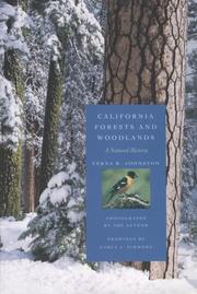
Search results from Open Library.
Recent natural events nearby
- Wildfire GANN, Calaveras, CaliforniaWildfires · 2026-08-03 · 66 mi
- Wildfire LUCAS, Lake, CaliforniaWildfires · 2026-09-10 · 78 mi
- Wildfire LUCAS, Lake, CaliforniaWildfires · 2026-09-10 · 78 mi
- Wildfire FLORISTON, Nevada, CaliforniaWildfires · 2026-09-16 · 105 mi
- Wildfire Bull, Washoe, NevadaWildfires · 2026-10-02 · 112 mi
- Wildfire Hawk, Washoe, NevadaWildfires · 2026-08-22 · 114 mi
- Wildfire Hawk, Washoe, NevadaWildfires · 2026-08-22 · 114 mi
- Wildfire Bug, Lassen, CaliforniaWildfires · 2026-08-08 · 117 mi
Wildfires, storms and other events from NASA EONET (last 12 months, within 250 mi).
Ground air-quality sensors
Recently spotted species
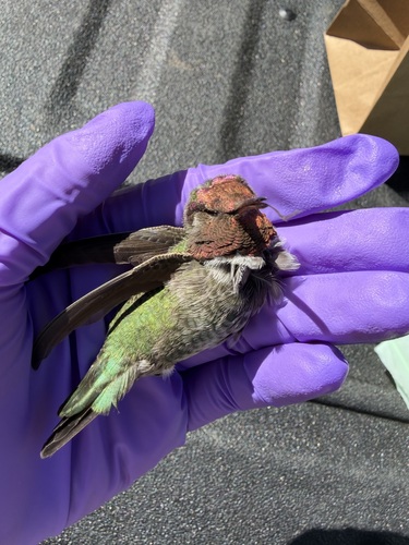
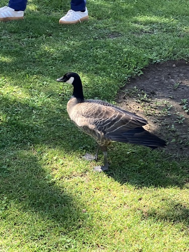
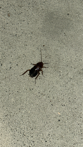
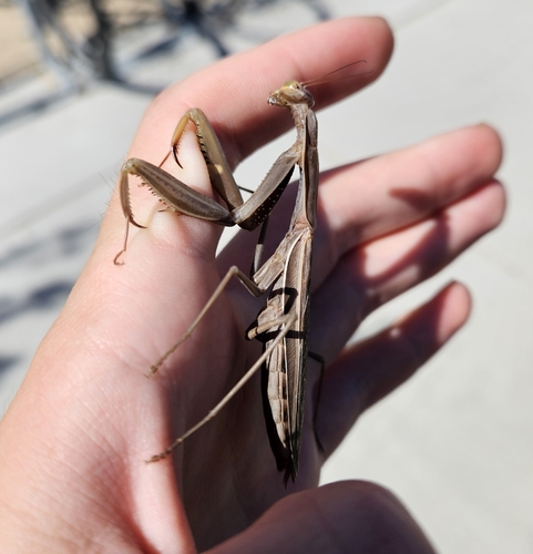
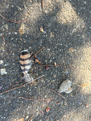
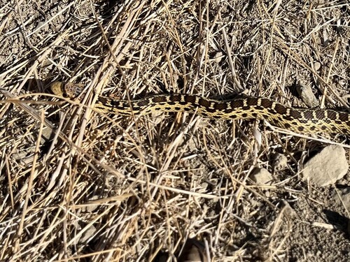
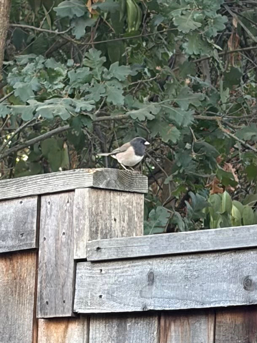
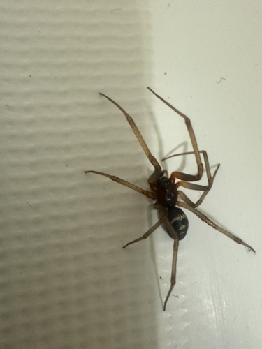
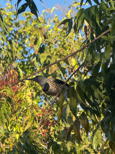
Research-grade observations from iNaturalist (within ~15 mi).
Nearest stream gauge
Live readings from USGS NWIS · measured 2026-10-16 08:45 UTC.
Events
Gallery
Sources
- • Wikipedia
- • US Census Bureau (ACS 5-year estimates)
- • Wikidata
- • USGS NWIS (water data)
- • GBIF (Global Biodiversity Information Facility)
- • iNaturalist
- • CDC PLACES
- • Open-Meteo / sunrise-sunset.org
- • Wikipedia Pageviews API
- • Open Library
- • NASA EONET