Browse / DR Congo / Équateur / Basankusu
Basankusu
Équateurcity

Basankusu
Air quality index
Demographic figures from INS DRC. Overview below cites Wikipedia and may reference a different year.
City facts
Facts from Wikidata (CC0).
Overview
Basankusu is a town in Équateur Province, Democratic Republic of the Congo. It is the main town and administrative centre of the Basankusu Territory. In 2004, it had an estimated population of 23,764. It has a gravel airstrip, covered and open markets, a hospital, and three cellphone networks, the first of which was installed in 2006. The town is also known as a centre for bonobo conservation efforts. Despite such developments, most inhabitants live at a subsistence level: hunting, fishing, keeping chickens and keeping a vegetable plot. In 2010, the workers at the local palm plantation would earn an average monthly salary of $40, most others would have much less.
Read more on WikipediaHistory & geography
History
The name Basankusu is said to have been misunderstood by its European explorers and colonisers, who lacked knowledge of the local language. The Mongo group that founded Basankusu were the Okutsu; their descendants were called the Basaa Okutsu, meaning the "children of the Okutsu". This name was contracted slightly into the name Basaa'kutsu. Another account of the etymology of Basankusu is that it comes from basa ba nkoso, meaning "quarrelling parrots", or possibly Baasa bankoso, "small parrots". ABIR would sell a kilogram of rubber in Europe for up to 10 francs (fr), which cost them only 1.35 fr to collect and transport. However, this came at a cost to the human rights of those who could not pay the tax, with imprisonment, flogging, and other corporal punishments recorded. The reforms that followed the Casement Report, including those that concerned ABIR at Basankusu, set the foundation for the colonial Belgian state of Congo.
Geography
Basankusu is situated on the Lulonga River, a tributary of the Congo, at the confluence of the Lopori and Maringa Rivers. This location facilitates the transport of local goods to and from the cities of Mbandaka and Kinshasa. Because Basankusu is the last port of substance on the river of the Lopori Basin, conservation efforts for the bonobo, use the town as a base. Being slightly more than 1° north of the Equator, Basankusu has a tropical rainforest climate. There is no real dry season, with monthly rainfall in the town ranging between averages of 69 mm and 213 mm, with most months at the higher end of that range. Average high temperatures over a year are between 30 °C and 33 °C, although throughout the day a high of 37 °C is not uncommon. Evening lows average around 20 °C. Being close to a major river and enduring frequent, heavy tropical rainfall, Basankusu is prone to the damaging effects of water. In July, 2010, the town was affected by flooding, with 1,400 people made homeless. Roads, which are all non-metalled, and bridges were also affected. Such frequent harsh weather conditions have an effect on the quality of life for local people. Waterborne diseases can become more prevalent, and the transport of goods, such as food, medicine, and trade goods, becomes more difficult.
Excerpted from the corresponding Wikipedia article (CC BY-SA).
Geography
Coordinates & boundaries from the US Census TIGER/Line shapefiles.
Climate
Air quality
Current readings from Open-Meteo Air Quality API (Copernicus CAMS European reanalysis).
Walkability
Amenities nearby
Wildlife & biodiversity
Most-observed species
- African Weaver AntOecophylla longinoda (Latreille, 1802) · Insecta5
- Greshoff's Wax FrogCryptothylax greshoffii (Schilthuis, 1889) · Amphibia3
- African Lined MantisSphodromantis lineola Burmeister, 1838 · Insecta2
- Large emerald pearlStemorrhages sericea Drury, 1773 · Insecta2
- Christmas ButterflyPapilio demodocus Esper, 1798 · Insecta2
- Huntsman SpiderHeteropoda venatoria (Linnaeus, 1767) · Arachnida2
- African linsangPoiana richardsonii (Thomson, 1842) · Mammalia2
- forest hingeback tortoiseKinixys erosa (Schweigger, 1812) · Testudines2
Citizen-science & research observations from the Global Biodiversity Information Facility (GBIF).
Earthquake history
Events from the USGS Earthquake Catalog (global) (FDSN Event Web Service).
Photos
Sights & places nearby
Notable people from here


People born within ~10 km, from Wikidata (CC0). Click any name for their Wikipedia article.
Nearby places in Équateur
Geography & sun
Elevation, sunrise/sunset and daylight from Open-Meteo. Solar climatology from NASA POWER.
Nearby airports
Public attention
Pageview totals from the Wikimedia Pageviews API.
Books about this place
Recent natural events nearby
Ground air-quality sensors
Recently spotted species
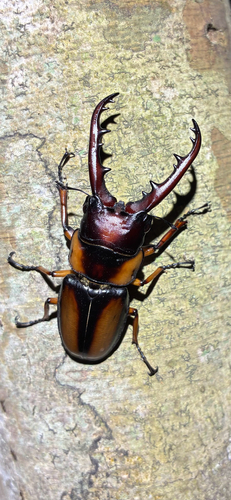
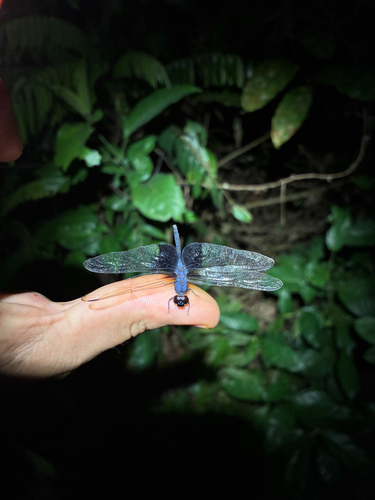
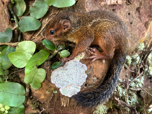
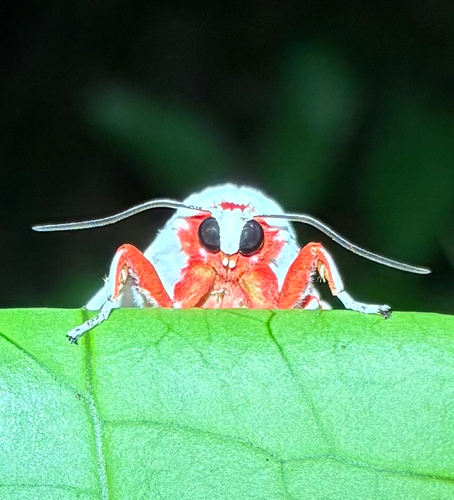
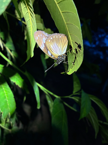
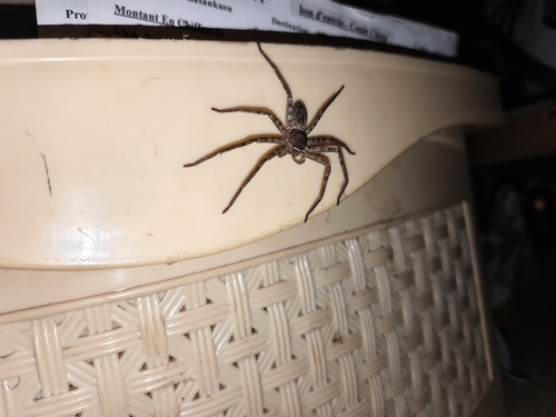
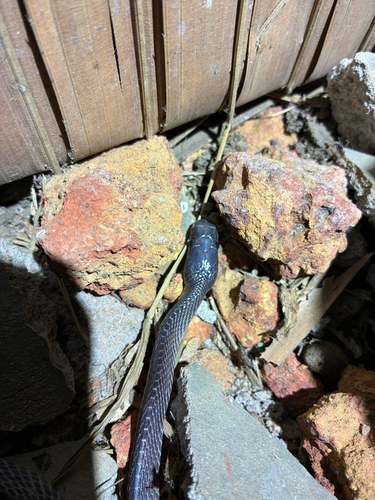
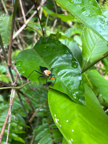
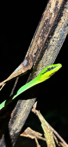
Research-grade observations from iNaturalist (within ~15 mi).
Events
Gallery
Sources
- • Wikipedia
- • Wikidata
- • Open-Meteo Air Quality (CAMS)
- • USGS Earthquake Catalog (global feed)
- • GBIF (Global Biodiversity Information Facility)
- • iNaturalist
- • Open-Meteo / sunrise-sunset.org
- • Wikipedia Pageviews API