Browse / DR Congo / Sud-Kivu / Bukavu
Bukavu
Sud-Kivucity

Bukavu
Founded
1901
Air quality index
Demographic figures from INS DRC. Overview below cites Wikipedia and may reference a different year.
City facts
Sister cities
Facts from Wikidata (CC0).
Overview
Bukavu is a city in eastern Democratic Republic of the Congo (DRC), lying at the extreme south-western edge of Lake Kivu, west of Cyangugu in Rwanda, and separated from it by the outlet of the Ruzizi River. It is the capital of the South Kivu Province and as of 2012 it had an estimated population of 806,940.
Read more on WikipediaHistory & geography
History
Bukavu is part of the ancient territory of Bushi Kingdom, an ethnic group of South-Kivu. It was governed by a "Muluzi" Nyalukemba, when the first Arabs arrived. They were traders and often trafficked in enslaved Africans; they were influential in much of Africa. Near the end of the 19th century, Europeans entered Bushi, and the Congo Free State attempted to colonize the large territory. 'Muluzi' or 'Baluzi' in the plural means 'the nobleman' or 'nobility' to Shi. Before the Europeans came in Bushi Kingdom, Bukavu was called "Rusozi". The name Bukavu comes from the transformation of word 'bu 'nkafu ' (farm of cows) in Mashi, the language of Bashi. Bukavu was established in 1901 by the Congo Free State which became the Belgian Congo in 1908. Originally named Bukavu, it was named "Costermansville" (in French) or "Costermansstad" (in Dutch) in 1927, after Vice Governor-General Paul Costermans. In 1953, the name was changed back to Bukavu. It had a prominent European population under colonial rule. They were attracted by the subtropical climate (Lake Kivu is 1,500 metres above sea level) and scenic location (Bukavu is built on five peninsulas and has been described as "a green hand, dipped in the lake"). Many colonial villas have gardens sloping down to the lakeshore. By contrast, the main residential district for ordinary people, Kadutu, climbs up the hillside inland. The surrounding hills reach a height of 2,000 metres. Formerly an administrative centre for the whole of the Kivu region, the town lost some of its status as a result of the growth of Goma and the late 20th century wars that erupted in the Congo following the 1994 Rwandan Genocide. Following those massacres, Hutu refugees and many members of the former Hutu-led government fled Rwanda, contributing to the…
Geography
Although not threatened by volcanoes as Goma is, Bukavu is equally in danger from a potential limnic eruption from Lake Kivu, in which vast quantities of dissolved carbon dioxide and methane could explode from the lake and threaten the lives of the 2 million people who live near the lake.
Excerpted from the corresponding Wikipedia article (CC BY-SA).
Geography
Coordinates & boundaries from the US Census TIGER/Line shapefiles.
Climate
Air quality
Current readings from Open-Meteo Air Quality API (Copernicus CAMS European reanalysis).
Walkability
Amenities nearby
Wildlife & biodiversity
Most-observed species
- Common BulbulPycnonotus barbatus (Desfontaines, 1789) · Aves240
- Pied CrowCorvus albus Statius Muller, 1776 · Aves203
- Speckled MousebirdColius striatus J.F.Gmelin, 1789 · Aves189
- Black KiteMilvus migrans (Boddaert, 1783) · Aves174
- Chubb's CisticolaCisticola chubbi Sharpe, 1892 · Aves166
- Baglafecht WeaverPloceus baglafecht (Daudin, 1802) · Aves162
- African Paradise-FlycatcherTerpsiphone viridis (Statius Muller, 1776) · Aves153
- Northern Gray-headed SparrowPasser griseus (Vieillot, 1817) · Aves147
Citizen-science & research observations from the Global Biodiversity Information Facility (GBIF).
Earthquake history
Most recent
- M 4.7 — 2025-12-0832 km SSW of Kabare, Democratic Republic of the Congo
- M 4.6 — 2025-11-2423 km SW of Kabare, Democratic Republic of the Congo
- M 4.4 — 2025-11-0110 km ESE of Cyangugu, Rwanda
- M 4.3 — 2025-04-0527 km W of Kibuye, Rwanda
- M 4.5 — 2025-01-0419 km W of Bubanza, Burundi
- M 4.5 — 2023-09-2416 km NNW of Nzega, Rwanda
Events from the USGS Earthquake Catalog (global) (FDSN Event Web Service).
Photos
Sights & places nearby
Notable people from here


People born within ~10 km, from Wikidata (CC0). Click any name for their Wikipedia article.
Nearby places in Sud-Kivu
Geography & sun
Elevation, sunrise/sunset and daylight from Open-Meteo. Solar climatology from NASA POWER.
Nearby airports
Public attention
Pageview totals from the Wikimedia Pageviews API.
Books about Bukavu
Search results from Open Library.
Recent natural events nearby
Ground air-quality sensors
Recently spotted species
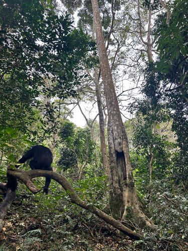
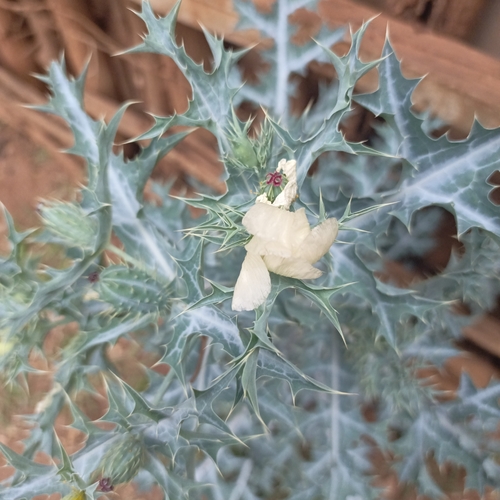
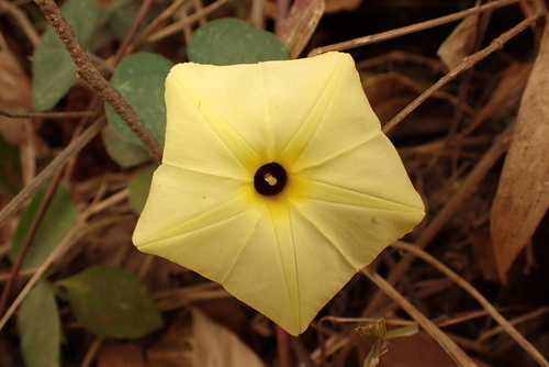
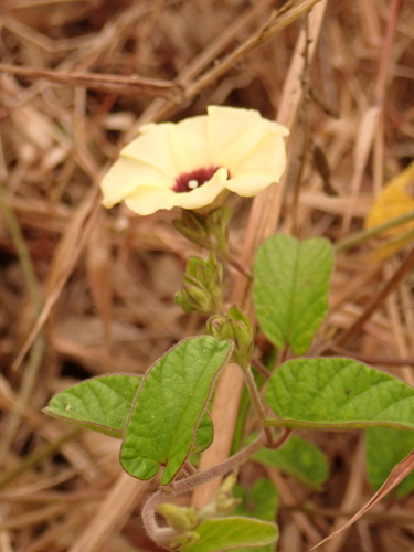
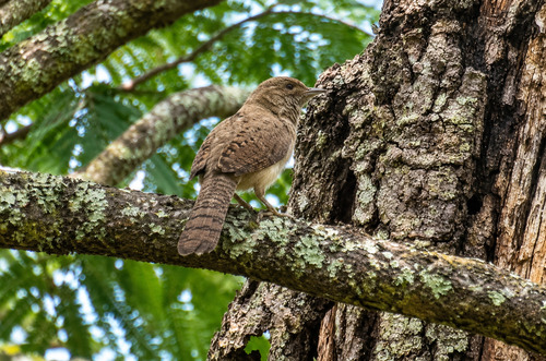
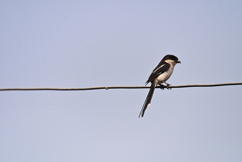
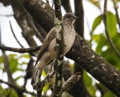
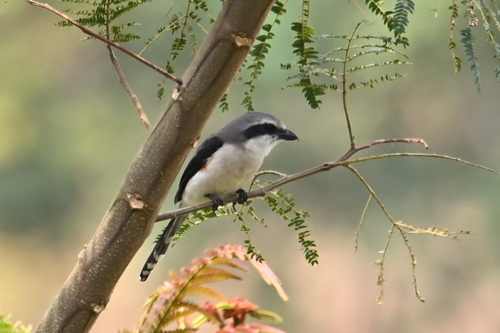
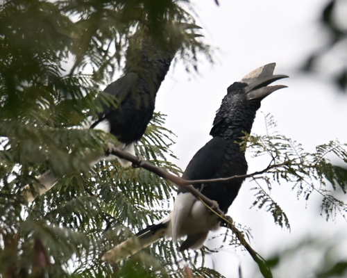
Research-grade observations from iNaturalist (within ~15 mi).
Events
Gallery
Sources
- • Wikipedia
- • Wikidata
- • Open-Meteo Air Quality (CAMS)
- • USGS Earthquake Catalog (global feed)
- • GBIF (Global Biodiversity Information Facility)
- • iNaturalist
- • Open-Meteo / sunrise-sunset.org
- • Wikipedia Pageviews API
- • Open Library