Browse / DR Congo / Ituri / Bunia
Bunia
Ituricity

Bunia
Total population
366,126
Founded
1946
Demographic figures from INS DRC. Overview below cites Wikipedia and may reference a different year.
City facts
Facts from Wikidata (CC0).
Overview
Bunia is the capital city of Ituri Province in the Democratic Republic of the Congo (DRC). It was part of the Orientale Province until that province's dissolution.
Read more on WikipediaHistory & geography
Geography
Coordinates & boundaries from the US Census TIGER/Line shapefiles.
Climate
Air quality
Walkability
Amenities nearby
Wildlife & biodiversity
Most-observed species
- African Grass BlueZizeeria knysna (Trimen, 1862) · Insecta8
- CabbageBrassica oleracea L. · Magnoliopsida4
- Lachnoptera iole Fabricius, 1781Lachnoptera iole Fabricius, 1781 · Insecta3
- African ApeflySpalgis lemolea Druce, 1890 · Insecta3
- Match Me If You CanAcalypha wilkesiana Müll.Arg. · Magnoliopsida3
- Calosoma guineense Imhoff, 1843Calosoma guineense Imhoff, 1843 · Insecta3
- Dotted SableBocchoris inspersalis Zeller, 1852 · Insecta2
- African EmigrantCatopsilia florella (Fabricius, 1775) · Insecta2
Citizen-science & research observations from the Global Biodiversity Information Facility (GBIF).
Earthquake history
Most recent
- M 4.3 — 2022-02-1655 km W of Kigorobya, Uganda
- M 4.6 — 2021-04-1445 km SSE of Bunia, Democratic Republic of the Congo
- M 4.2 — 2020-10-0438 km WNW of Bundibugyo, Uganda
- M 4.3 — 2020-06-2118 km NW of Bundibugyo, Uganda
- M 4.5 — 2020-06-0847 km W of Kigorobya, Uganda
- M 4.6 — 2019-09-06Lake Albert region, Congo-Uganda
Events from the USGS Earthquake Catalog (global) (FDSN Event Web Service).
Photos
Sights & places nearby
Notable people from here


People born within ~10 km, from Wikidata (CC0). Click any name for their Wikipedia article.
Nearby places in Ituri
Geography & sun
Elevation, sunrise/sunset and daylight from Open-Meteo. Solar climatology from NASA POWER.
Nearby airports
Public attention
Pageview totals from the Wikimedia Pageviews API.
Books about this place
Recent natural events nearby
Ground air-quality sensors
Recently spotted species
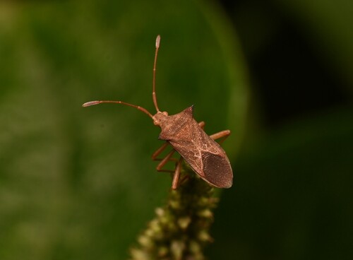
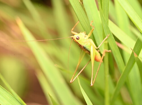
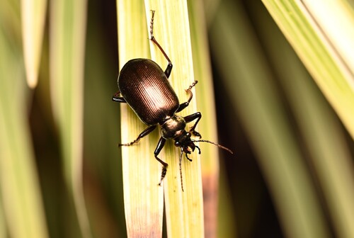
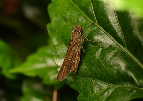
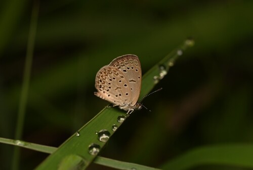
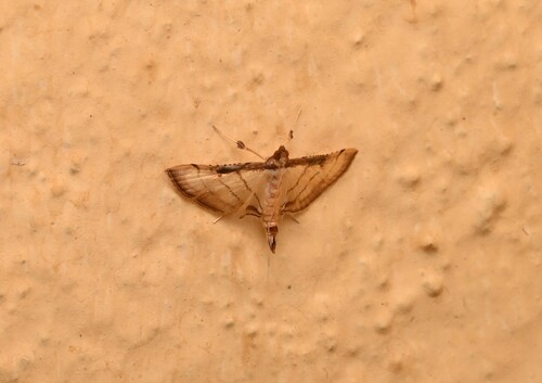
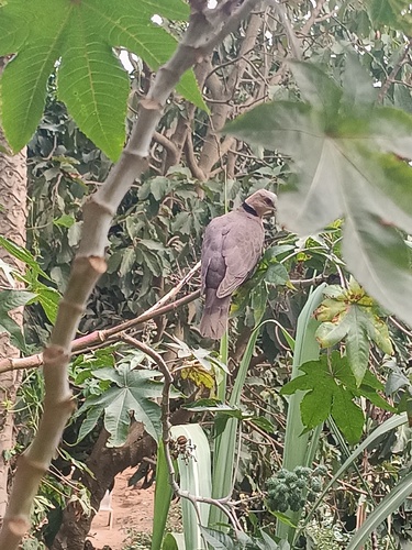
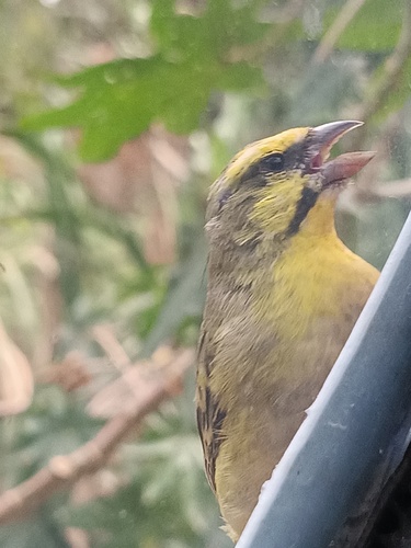
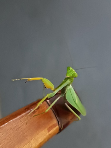
Research-grade observations from iNaturalist (within ~15 mi).
Events
Gallery
Sources
- • Wikipedia
- • Wikidata
- • USGS Earthquake Catalog (global feed)
- • GBIF (Global Biodiversity Information Facility)
- • iNaturalist
- • Open-Elevation
- • Open-Meteo / sunrise-sunset.org
- • Wikipedia Pageviews API