Browse / DR Congo / Nord-Kivu / Goma
Goma
Nord-Kivucity

Goma
Total population
2,000,000
Air quality index
Demographic figures from INS DRC. Overview below cites Wikipedia and may reference a different year.
City facts
Facts from Wikidata (CC0).
Overview
Goma is the capital and largest city of the North Kivu province of the Democratic Republic of the Congo. It is located in the east of the country on the northern shore of Lake Kivu and shares borders with the Bukumu Chiefdom to the north, Rwanda to the east and the Masisi Territory to the west. The city lies in the Albertine Rift, the western branch of the East African Rift, and is only 13–18 km (8.1–11.2 mi) south of the active volcano Mount Nyiragongo. With an approximate area of 75.72 km2 (29.24 sq mi), the city had a population of 782,000 people in 2024, with an additional 500,000 displaced people.
Read more on WikipediaHistory & geography
History
The village of Ngoma was a port for lake traffic and a crossroads for the overland trade routes between Central Africa and the Indian Ocean. In 1894, the explorer Gustav Adolf von Götzen, following the footsteps of an earlier missionary, was traveling to Rwanda from the eastern coast of Africa and passed through the village, which he recorded as Goma. In 1906, officers of the Congo Free State established Goma post opposite Gisenyi as a military outpost to oversee maritime activities on Lake Kivu, which later transformed into a civil status office. Around 1930, the Goma precinct accommodated camps for laborers of the Eastern Railway (CFE), initially sited along Lake Kivu's eastern shores. In 1945, it burgeoned into a state post under Rutshuru Territory's jurisdiction, experiencing a rapid demographic upsurge with approximately 8,600 inhabitants. Meanwhile, the native population relied on the Saint André School, later renamed Kyeshero Primary School, for primary education. In 1951, Goma was elevated to the territorial and capital level of North Kivu. This period also witnessed movements advocating for administrative separation between Goma and Rutshuru, leading to the establishment of deliberative and executive bodies in Kirotshe and later in Sake. The latter was limited to contemporary Birere, a densely populated quartier abutting the Rwandan border. Meanwhile, the quartiers allocated for European settlers were concentrated within the contemporary city center (quartier les Volcans) and an enclave of the Himbi quartier, which persists as the most urbanized, affluent, and wealthy parts of the city. Over two million Hutus fled the country to Zaire and many Tutsis and Hutus were internally displaced within Rwanda. Although Hutu extremists were responsible for the mass…
Geography
Goma is the largest and capital city of the North Kivu Province in eastern Democratic Republic of the Congo. To Goma's north lies Nyiragongo Territory, the Republic of Rwanda to the east, Lake Kivu to the south, and Masisi Territory to the west. Goma is strategically located on the Goma plain, which is composed of volcanic lavas and gradual slopes gently towards Lake Kivu. The plain is bordered by the Virunga Mountains to the west, which comprises prominent peaks such as Nyamuragira, Mount Nyiragongo, Mount Mikeno, Mount Bisoke, Mount Gahinga, Mount Karisimbi and Mount Sabyinyo. The predominant terrain of Goma is volcanic, with only a small portion consisting of slightly sandy soil. Mount Goma, an extinct volcano, lies at the public port of Goma. This hill was formed during ancient volcanic eruptions and marks the southeastern limit of the plain. Goma is much milder than most climates of its latitude due to the city's high altitude, and sees warm days and pleasant nights year-round. Goma is administered by a mayor, who is assisted by a deputy mayor responsible for overseeing the commune mayors (bourgmestres). The bourgmestres then supervise the quarter chiefs (chefs de quartiers). Each quartier is then subdivided into avenues, cells, and Nyumba Kumi (literally, "ten houses"), a system in which ten households are overseen by a person appointed by the quartier chief. A subsequent order, No. 10/037/CAB/GP-NK/98, established Bujovu quarter in the Karisimbi commune. Bujovu included the Byahi and Tyazo cells, formerly part of Majengo and Virunga quarters, respectively.
Excerpted from the corresponding Wikipedia article (CC BY-SA).
Geography
Coordinates & boundaries from the US Census TIGER/Line shapefiles.
Climate
10-year averages from ERA5 reanalysis (Open-Meteo).
Air quality
Current readings from Open-Meteo Air Quality API (Copernicus CAMS European reanalysis).
Walkability
Amenities nearby
Wildlife & biodiversity
Most-observed species
- Black KiteMilvus migrans (Boddaert, 1783) · Aves1,076
- Common BulbulPycnonotus barbatus (Desfontaines, 1789) · Aves1,027
- Baglafecht WeaverPloceus baglafecht (Daudin, 1802) · Aves978
- Pied CrowCorvus albus Statius Muller, 1776 · Aves964
- African Pied WagtailMotacilla aguimp Temminck, 1820 · Aves922
- Red-eyed DoveStreptopelia semitorquata (Rüppell, 1837) · Aves905
- Hadada IbisBostrychia hagedash (Latham, 1790) · Aves757
- White-browed Robin-ChatCossypha heuglini Hartlaub, 1866 · Aves707
Citizen-science & research observations from the Global Biodiversity Information Facility (GBIF).
Earthquake history
Most recent
- M 4.2 — 2026-03-1251 km W of Sake, Democratic Republic of the Congo
- M 4.5 — 2026-02-0261 km W of Ntungamo, Uganda
- M 4.4 — 2025-11-0110 km ESE of Cyangugu, Rwanda
- M 4.3 — 2025-04-0527 km W of Kibuye, Rwanda
- M 4.4 — 2024-11-3048 km W of Ntungamo, Uganda
- M 4.5 — 2023-09-2416 km NNW of Nzega, Rwanda
Events from the USGS Earthquake Catalog (global) (FDSN Event Web Service).
Photos
Sights & places nearby
Notable people from here

People born within ~10 km, from Wikidata (CC0). Click any name for their Wikipedia article.
Nearby places in Nord-Kivu
Geography & sun
Elevation, sunrise/sunset and daylight from Open-Meteo. Solar climatology from NASA POWER.
Nearby airports
Public attention
Pageview totals from the Wikimedia Pageviews API.
Books about Goma


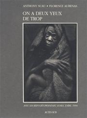

Search results from Open Library.
Recent natural events nearby
Ground air-quality sensors
Recently spotted species
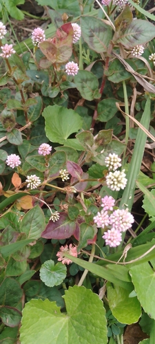
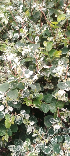
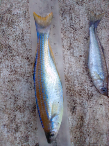
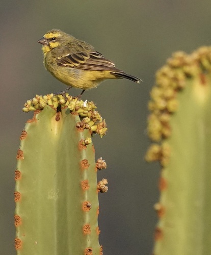
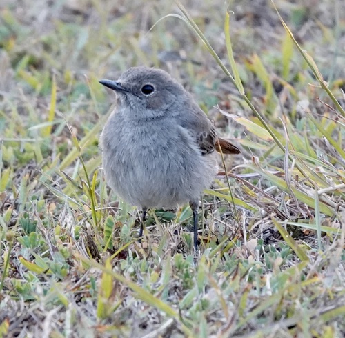
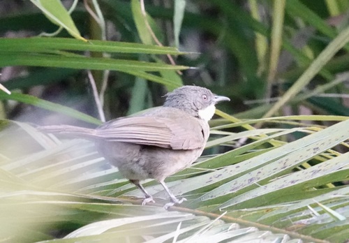
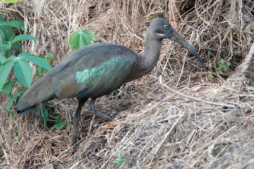
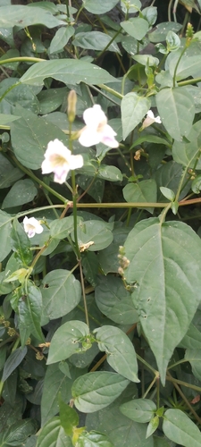
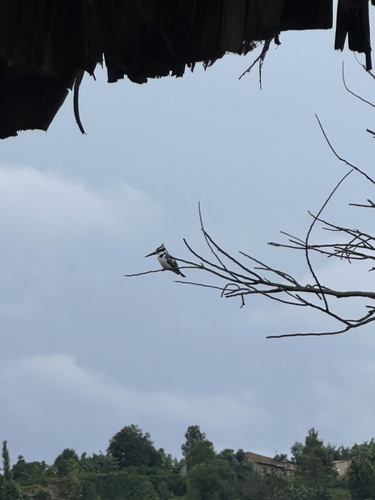
Research-grade observations from iNaturalist (within ~15 mi).
Events
Gallery
Sources
- • Wikipedia
- • Open-Meteo (ERA5 reanalysis)
- • Wikidata
- • Open-Meteo Air Quality (CAMS)
- • USGS Earthquake Catalog (global feed)
- • GBIF (Global Biodiversity Information Facility)
- • iNaturalist
- • Open-Elevation
- • Open-Meteo / sunrise-sunset.org
- • Wikipedia Pageviews API
- • Open Library