Browse / DR Congo / Haut-Uele / Isiro
Isiro
Haut-Uelecity

Isiro
Demographic figures from INS DRC. Overview below cites Wikipedia and may reference a different year.
City facts
Facts from Wikidata (CC0).
Overview
Isiro, formerly known as Paulis, is the capital of Haut-Uele Province in the northeastern part of the Democratic Republic of the Congo. It lies between the equatorial forest and the savannah and its main resource is coffee. Isiro's population is estimated at approximately 182,000. Most people speak Pa-Zande, Lingala and Swahili.
Read more on WikipediaHistory & geography
History
Isiro was named Paulis after colonel, later diplomat, when it was part of the Belgian Congo. The city was developed in 1934 and reached its peak in 1957. In the troubled days of Congo's independence and its aftermath, operation Black Dragoon brought fighting between Belgian paratroopers and local Simba militias. In 1998, Isiro became the home of a newly created Dominican-operated university called Université de l'Uélé. It is the third city in Orientale province (after Kisangani and Bunia) to welcome a university. In 2015 Isiro became the capital of the Province of Haut-Uele, under governor Jean-Pierre Lola Kisanga 2015-2019. In 2024 Isiro's population rose to over 400.000.
Excerpted from the corresponding Wikipedia article (CC BY-SA).
Geography
Coordinates & boundaries from the US Census TIGER/Line shapefiles.
Climate
Air quality
Walkability
Amenities nearby
Wildlife & biodiversity
Most-observed species
- blue monkeyCercopithecus mitis Wolf, 1822 · Mammalia2
- Agile MangabeyCercocebus agilis A.Milne-Edwards, 1886 · Mammalia1
- forest hingeback tortoiseKinixys erosa (Schweigger, 1812) · Testudines1
- Black KiteMilvus migrans (Boddaert, 1783) · Aves1
- Taro, Cocoyam, Dasheen, Wild taro, Eddo, Elephant's earColocasia esculenta (L.) Schott · Liliopsida1
- PeanutArachis hypogaea L. · Magnoliopsida1
- African Pied HornbillLophoceros fasciatus (Shaw, 1812) · Aves1
Citizen-science & research observations from the Global Biodiversity Information Facility (GBIF).
Earthquake history
Events from the USGS Earthquake Catalog (global) (FDSN Event Web Service).
Photos
Sights & places nearby
Notable people from here


People born within ~10 km, from Wikidata (CC0). Click any name for their Wikipedia article.
Nearby places in Haut-Uele
Geography & sun
Elevation, sunrise/sunset and daylight from Open-Meteo. Solar climatology from NASA POWER.
Nearby airports
Public attention
Pageview totals from the Wikimedia Pageviews API.
Books about this place
Recent natural events nearby
Ground air-quality sensors
Recently spotted species
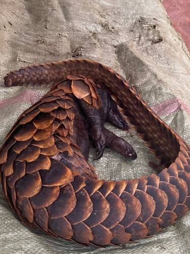
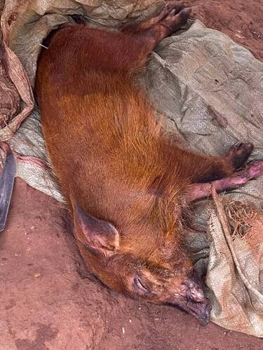
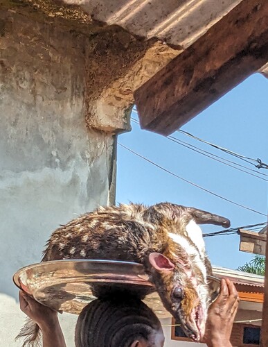
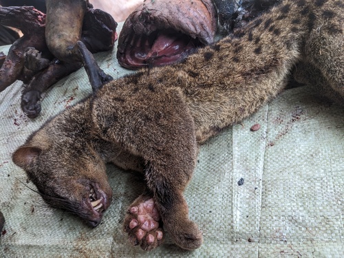
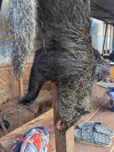
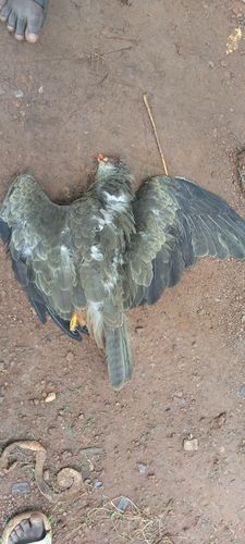
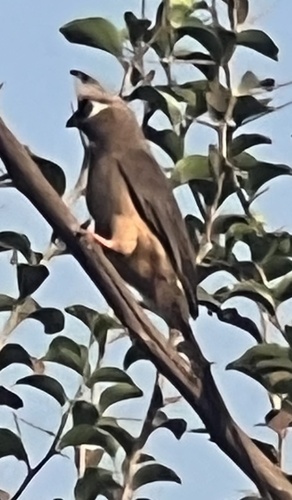
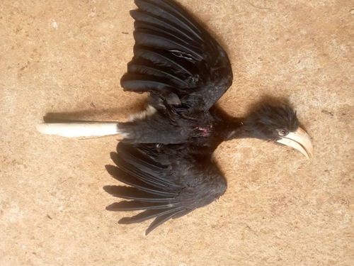
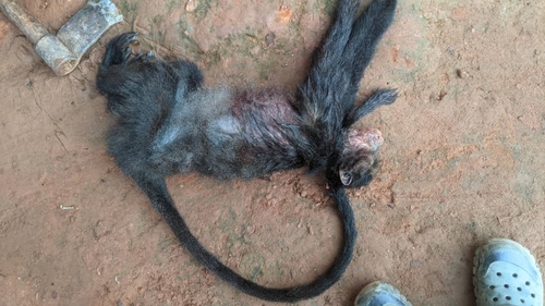
Research-grade observations from iNaturalist (within ~15 mi).
Events
Gallery
Sources
- • Wikipedia
- • Wikidata
- • USGS Earthquake Catalog (global feed)
- • GBIF (Global Biodiversity Information Facility)
- • iNaturalist
- • Open-Meteo / sunrise-sunset.org
- • Wikipedia Pageviews API