Browse / DR Congo / Kasaï-Central / Kananga
Kananga
Kasaï-Centralcity

Kananga
Founded
1884
Air quality index
Demographic figures from INS DRC. Overview below cites Wikipedia and may reference a different year.
City facts
Facts from Wikidata (CC0).
Overview
Kananga, formerly known as Luluabourg or Luluaburg, is the capital city of the Kasai-Central Province in the Democratic Republic of the Congo and was the capital of the former Kasaï-Occidental Province. It is the fourth most populous urban area in the country, with an estimated population of 1,524,000 in 2021.
Read more on WikipediaHistory & geography
History
German explorer Hermann Wissmann established a station in the area around present-day Kananga, on the left bank of the Lulua. Wissmann named the station Malandji, a name suggested by his 400 carriers, who were from the city of Malanje in Angola. Later on, with the construction of the railway on the other bank of the river, the station was moved, and the Lulua train station gave its name to the new town, namely Luluabourg. The old location is named Malandji-Makulu (old Malandji) to this day. At the Belgo-Congolese Round Table Conference, in 1960, the name given to the negotiations for the independence of the then-Belgian Congo, a decision was taken that the new state would move the location of its capital from Kinshasa to Luluabourg, due to the latter's central location. However, due to multiple political setbacks, and particularly the secession attempt by Albert Kalonji and his South Kasai, this decision was never implemented. When the central government reconquered South Kasai in 1962, Luluabourg became the capital of the new Kasai-Occidental province. Kananga (as Luluabourg) was the site of the drafting of the first Congolese-written constitution for the Democratic Republic of the Congo, in 1964. In 1966, during an Africanization campaign, Mobutu Sese Seko renamed a number of cities and towns that bore European names. Leopoldville became Kinshasa, and Luluabourg became Kananga. The name Kananga derives from the Tshiluba word kanangayi meaning "a place for peace or love" as what is now central Kananga was a gathering place for pre-colonial chiefs to discuss treaties and to settle disputes. Under the 2006 constitution, the Democratic republic of the Congo was divided in 25 provinces, and one national capital city (Kinshasa). The Kasai-Occidental was divided into two…
Excerpted from the corresponding Wikipedia article (CC BY-SA).
Geography
Coordinates & boundaries from the US Census TIGER/Line shapefiles.
Climate
Air quality
Current readings from Open-Meteo Air Quality API (Copernicus CAMS European reanalysis).
Walkability
Amenities nearby
Wildlife & biodiversity
Most-observed species
- Black KiteMilvus migrans (Boddaert, 1783) · Aves2
- Cattle EgretBubulcus ibis (Linnaeus, 1758) · Aves1
- Pied CrowCorvus albus Statius Muller, 1776 · Aves1
- Tawny-flanked PriniaPrinia subflava (Gmelin, 1789) · Aves1
- Sensitive plant, Sensitive Grass, Humble Plant, Sleepy plant, Sleeping grass, Shy plant, Shameplant, Shame Bush, Shame Face, Shame Lady, Shame Weed, Shameful plant, Dead-and-awake, Live-and-die, Mimosa, Action plant, Touch-me-notMimosa pudica L. · Magnoliopsida1
- Little SwiftApus affinis (J.E.Gray, 1830) · Aves1
- Angola SwallowHirundo angolensis Bocage, 1868 · Aves1
- House SparrowPasser domesticus (Linnaeus, 1758) · Aves1
Citizen-science & research observations from the Global Biodiversity Information Facility (GBIF).
Earthquake history
Most recent
- M 4.8 — 2020-08-0440 km E of Demba, Democratic Republic of the Congo
Events from the USGS Earthquake Catalog (global) (FDSN Event Web Service).
Photos
Sights & places nearby
Notable people from here


People born within ~10 km, from Wikidata (CC0). Click any name for their Wikipedia article.
Geography & sun
Elevation, sunrise/sunset and daylight from Open-Meteo. Solar climatology from NASA POWER.
Nearby airports
Public attention
Pageview totals from the Wikimedia Pageviews API.
Books about this place
Recent natural events nearby
Ground air-quality sensors
Recently spotted species
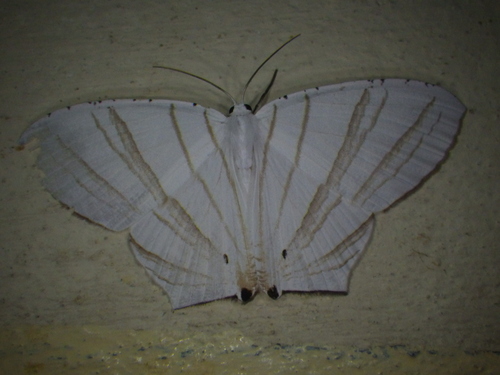
Research-grade observations from iNaturalist (within ~15 mi).
Events
Gallery
Sources
- • Wikipedia
- • Wikidata
- • Open-Meteo Air Quality (CAMS)
- • USGS Earthquake Catalog (global feed)
- • GBIF (Global Biodiversity Information Facility)
- • iNaturalist
- • Open-Elevation
- • Open-Meteo / sunrise-sunset.org
- • Wikipedia Pageviews API