Browse / DR Congo / Nord-Kivu / Kanyabayonga
Kanyabayonga
Nord-Kivutown
Air quality index
Demographic figures from INS DRC. Overview below cites Wikipedia and may reference a different year.
City facts
Overview
As a town in Nord-Kivu, DR Congo, Kanyabayonga occupies its own corner of the country. On the world map it falls within the Eastern Hemisphere, specifically at -0.700°, 29.170°. Up-to-date population figures for this locality are not available in the open datasets we monitor. The location receives about 1,843 kWh/m² of solar irradiance per year and sunshine for roughly 72% of daylight hours. Climatically, locations at this latitude tend to experience hot and humid year-round with little seasonal temperature variation. Open-data panels below dive into population trends, climate normals, environmental indicators and nearby places.
Summary composed automatically from structured open data on this page. See our Terms for details.
History & geography
Geography
Coordinates & boundaries from the US Census TIGER/Line shapefiles.
Climate
Air quality
Current readings from Open-Meteo Air Quality API (Copernicus CAMS European reanalysis).
Walkability
Amenities nearby
Wildlife & biodiversity
Most-observed species
- White-necked RavenCorvus albicollis Latham, 1790 · Aves4
- Village WeaverPloceus cucullatus (Statius Muller, 1776) · Aves4
- Little SwiftApus affinis (J.E.Gray, 1830) · Aves4
- Lesser Striped-SwallowCecropis abyssinica (Guerin-Meneville, 1843) · Aves4
- Laughing DoveSpilopelia senegalensis (Linnaeus, 1766) · Aves4
- Rüppell's StarlingLamprotornis purpuroptera Rüppell, 1845 · Aves4
- Marabou StorkLeptoptilos crumenifer (R.P.Lesson, 1831) · Aves4
- Spot-flanked BarbetTricholaema lacrymosa Cabanis, 1878 · Aves3
Citizen-science & research observations from the Global Biodiversity Information Facility (GBIF).
Earthquake history
Most recent
- M 4.5 — 2026-02-0261 km W of Ntungamo, Uganda
- M 4.5 — 2025-05-0439 km NNW of Ntungamo, Uganda
- M 4.7 — 2025-02-1357 km SW of Kilembe, Uganda
- M 4.4 — 2024-11-3048 km W of Ntungamo, Uganda
- M 4.5 — 2024-01-1942 km ESE of Butembo, Democratic Republic of the Congo
- M 4.6 — 2023-08-2460 km NNW of Rukungiri, Uganda
Events from the USGS Earthquake Catalog (global) (FDSN Event Web Service).
Photos
Sights & places nearby
Notable people from here
People born within ~10 km, from Wikidata (CC0). Click any name for their Wikipedia article.
Nearby places in Nord-Kivu
Geography & sun
Elevation, sunrise/sunset and daylight from Open-Meteo. Solar climatology from NASA POWER.
Nearby airports
Public attention
Books about this place
Recent natural events nearby
Ground air-quality sensors
Recently spotted species
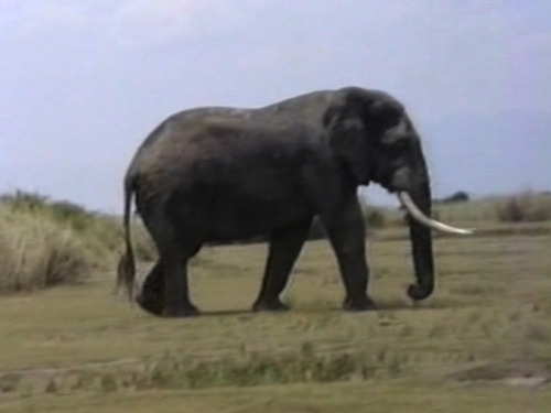
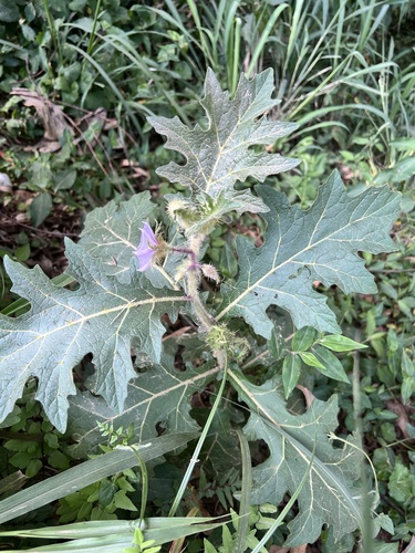
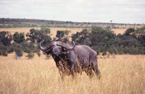
Research-grade observations from iNaturalist (within ~15 mi).
Events
Gallery
Sources
- • Wikidata
- • Open-Meteo Air Quality (CAMS)
- • USGS Earthquake Catalog (global feed)
- • GBIF (Global Biodiversity Information Facility)
- • iNaturalist
- • Open-Elevation
- • Open-Meteo / sunrise-sunset.org