Browse / DR Congo / Kinshasa / Kinshasa
Kinshasa
Kinshasacity

Kinshasa
Total population
17,032,322
Founded
1881
Air quality index
Demographic figures from INS DRC. Overview below cites Wikipedia and may reference a different year.
City facts
Facts from Wikidata (CC0).
Overview
Kinshasa, formerly named Léopoldville from 1881 to 1966, is the capital and largest city of the Democratic Republic of the Congo. Kinshasa is one of the world's fastest-growing megacities, with an estimated population of 18.5 million in 2026. It is the most densely populated city in the DRC, the third-most populous city and third-largest metropolitan area in Africa, the world's seventh-most populous city proper, and the fourth-most populous capital city in the world. It is the leading economic, political, and cultural center of the DRC, housing several industries including manufacturing, telecommunications, banking, and entertainment. The city also hosts some of the DRC's significant institutional buildings, such as the People's Palace, Palace of the Nation, Constitutional Court, Court of Cassation, Council of State, African Union City, Marble Palace, Government House, Kinshasa Financial Center, and other national departments and agencies.
Read more on WikipediaHistory & geography
History
In pre-colonial times, the area was inhabited by two trading centres, Ntamo and Ntsaasa, which were part of the Tio Kingdom. The city was established as a trading post by Henry Morton Stanley in 1881. It was named Léopoldville in honor of Stanley's employer King Leopold II of the Belgians. He would then proceed to take control of most of the Congo Basin as the Congo Free State, not as a colony but as his private property. The post flourished as the first navigable port on the Congo River above Livingstone Falls, a series of rapids over below Leopoldville. At first, all goods arriving by sea or being sent by sea had to be carried by porters between Léopoldville and Matadi, the port below the rapids and from the coast. The completion of the Matadi–Kinshasa portage railway, in 1898, provided an alternative route around the rapids and sparked the rapid development of Léopoldville. In 1914, a pipeline was installed so that crude oil could be transported from Matadi to the upriver steamers in Leopoldville. By 1923, the city was elevated to capital of the Belgian Congo, replacing the town of Boma in the Congo estuary, pursuant to the Royal Decree of 1 July 1923, countersigned by the Minister of the Colonies, Louis Franc. Before this, Léopoldville was designated an "urban district", encompassing exclusively the communes of Kintambo and the current Gombe, which burgeoned around Ngaliema Bay. Then the communes of Kinshasa, Barumbu, and Lingwala emerged. In the 1930s, these communes predominantly housed employees of Chanic, Filtisaf, and Utex Africa. In 1964, Moïse Tshombe decreed the expulsion of all nationals of Republic of the Congo, Burundi and Mali, as well as all political refugees from Rwanda. In 1965, with the help of the U.S. and Belgium, Joseph-Désiré Mobutu seized…
Geography
Kinshasa is strategically situated on the southern bank of the expansive Malebo Pool, which covers 9,965 square kilometers in a broad crescent shape over flat, low-lying terrain with an average elevation of about 300 meters. It is bordered to the east by the provinces of Mai-Ndombe, Kwilu, and Kwango, to the south by Kongo Central, and to the north and west by the Congo River, which forms the natural boundary with the Republic of the Congo. The Congo River, Africa's second-longest river after the Nile, has the continent's highest discharge and serves as a critical transportation route across much of the Congo Basin, with river barges navigable between Kinshasa and Kisangani and along several tributaries. It is also a significant source of hydroelectric power, with the potential downstream of Kinshasa to generate electricity sufficient for roughly half of Africa's population. Topographically, Kinshasa has a marshy, alluvial plain, with altitudes ranging from 275 to 300 meters, along with hilly terrain that elevates from 310 to 370 meters. It has four principal features: the Malebo Pool, a large water body with islands and islets; the Kinshasa Plain, a highly urbanizable area prone to drainage problems; the terrace, a series of low ridges overlooking the plain; and the hills area, marked by deep valleys and cirque-shaped formations. The city's current hydrological dynamics are the cumulative result of long-term tectonic shifts, sedimentary processes, and climatic variability that have defined the development of river systems over geological time scales. These rivers often carve deeply incised valleys, especially in the elevated southern regions. The Funa River is commonly but inaccurately referred to as the Kalamu, a misnomer derived from the Teke-Humbu term for…
Excerpted from the corresponding Wikipedia article (CC BY-SA).
Geography
Coordinates & boundaries from the US Census TIGER/Line shapefiles.
Climate
10-year averages from ERA5 reanalysis (Open-Meteo).
Air quality
Current readings from Open-Meteo Air Quality API (Copernicus CAMS European reanalysis).
Walkability
Amenities nearby
Wildlife & biodiversity
Most-observed species
- Asian tiger mosquito, Forest day mosquitoAedes albopictus (Skuse, 1894) · Insecta5,587
- Anopheles gambiae Giles, 1900Anopheles gambiae Giles, 1900 · Insecta2,807
- Pied CrowCorvus albus Statius Muller, 1776 · Aves273
- Anopheles paludis Theobald, 1900Anopheles paludis Theobald, 1900 · Insecta240
- Cattle EgretBubulcus ibis (Linnaeus, 1758) · Aves221
- African Palm-SwiftCypsiurus parvus (M.H.K.Lichtenstein, 1823) · Aves197
- Rufous-tailed Palm-ThrushCichladusa ruficauda (Hartlaub, 1857) · Aves197
- Speckled MousebirdColius striatus J.F.Gmelin, 1789 · Aves184
Citizen-science & research observations from the Global Biodiversity Information Facility (GBIF).
Earthquake history
Events from the USGS Earthquake Catalog (global) (FDSN Event Web Service).
Photos
Sights & places nearby
Notable people from here


People born within ~10 km, from Wikidata (CC0). Click any name for their Wikipedia article.
Nearby places in Kinshasa
Geography & sun
Elevation, sunrise/sunset and daylight from Open-Meteo. Solar climatology from NASA POWER.
Nearby airports
Public attention
Pageview totals from the Wikimedia Pageviews API.
Books about Kinshasa


Search results from Open Library.
Recent natural events nearby
Ground air-quality sensors
Recently spotted species
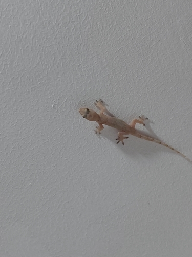
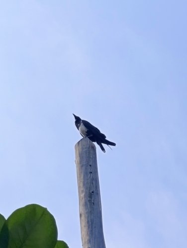
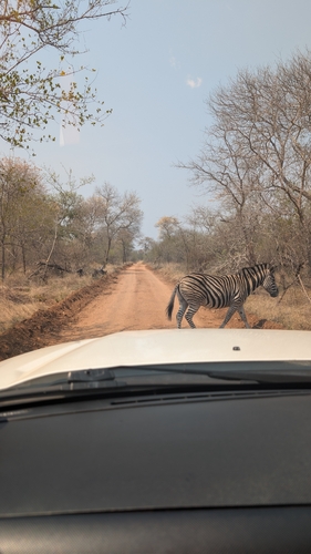
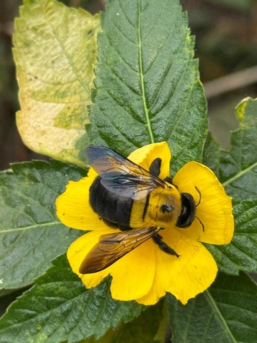
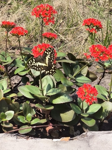
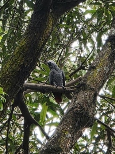
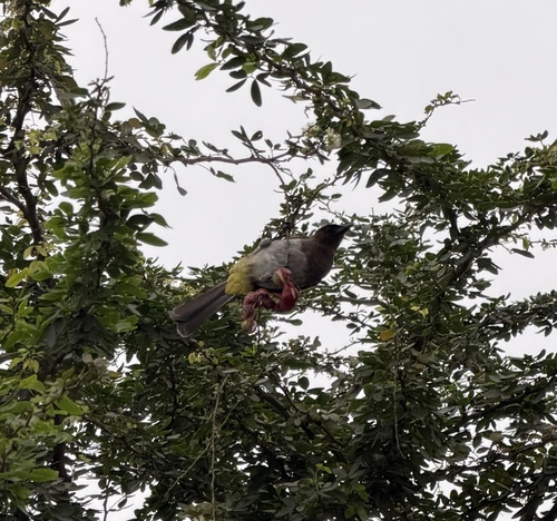
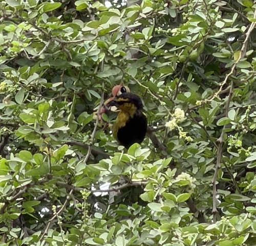
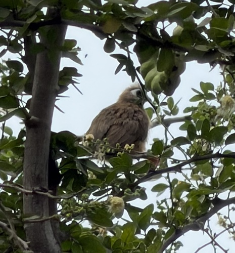
Research-grade observations from iNaturalist (within ~15 mi).
Events
Gallery
Geotagged photos within ~6 miles of Kinshasa, from Wikimedia Commons contributors.
.jpg) 0.1 mi
0.1 mi.jpg) 0.1 mi
0.1 mi 0.1 mi
.jpg) 0.1 mi
0.1 mi 0.1 mi
 0.1 mi
 0.1 mi
 0.1 mi
 0.1 mi
 0.1 mi
 0.1 mi
 0.1 mi
 0.1 mi
 0.1 mi
 0.1 mi
 0.1 mi
 0.1 mi
 0.1 mi
 0.1 mi
 0.1 mi
 0.1 mi
 0.1 mi
 0.1 mi
 0.1 mi
Photos via Wikimedia Commons — see each image page for license & attribution.
Sources
- • Wikipedia
- • Open-Meteo (ERA5 reanalysis)
- • Wikimedia Commons
- • Wikidata
- • Open-Meteo Air Quality (CAMS)
- • USGS Earthquake Catalog (global feed)
- • GBIF (Global Biodiversity Information Facility)
- • iNaturalist
- • Open-Meteo / sunrise-sunset.org
- • Wikipedia Pageviews API
- • Open Library