Browse / DR Congo / Tshopo / Kisangani
Kisangani
Tshopocity

Kisangani
Air quality index
Demographic figures from INS DRC. Overview below cites Wikipedia and may reference a different year.
City facts
Facts from Wikidata (CC0).
Overview
Kisangani, formerly Stanleyville, is the capital of Tshopo Province, located on the Congo River in the eastern part of the central Congo Basin in the Democratic Republic of the Congo. It is the country's fifth-most populous urban area, with an estimated population of 1,602,144 as of 2016, and the largest of the cities in the tropical woodlands of the Congo.
Read more on WikipediaHistory & geography
History
Before Henry Morton Stanley, working on behalf of King Leopold II of the Belgians, founded what would become Stanley Falls Station in 1883, the area was inhabited by the Wagenya people, who used Wagenia Falls (which was formerly named Stanley Falls) for fishing. The station was founded on the Island of Wana Rusari, a few meters from the contemporary site of Kisangani, along the Lualaba River. This area, characterised by its seven falls spanning between Kisangani and Ubundu, He documented that approximately a thousand fish were caught daily in Stanley Falls, each weighing between , with the Wagenya maintaining significant reserves of smoked fish for trade. The trade network extended beyond foodstuffs to include canoes, fishing nets, pottery, wooden utensils, and metallic objects crafted by specialised artisans, often from distinct ethnic groups, such as the Ramangas, renowned for their expertise in canoe and wooden furniture manufacturing. The station, designated as the ultimate destination of the expedition, was commissioned by the Comité d'études du Haut-Congo. Stanley was accompanied by two British engineers, a German mechanic, and a sailor from Stanleyville, with British engineer Adrian Binnie assuming the role of station director. The Swahili language manual published by the Marist Brothers in the 1920s provides an instance of this naming substitution: "from X to Stanleyville" is translated as "". Binnie expanded Stanley's holdings, clearing land and constructing a village, complete with gardens. In 1887, Stanley proposed Tippu Tip as the governor (wali) of the Stanley Falls District, a proposal accepted by both Leopold II and Barghash bin Said. Tippu Tip assumed the position on 24 February 1887, and Stanley Falls District remained under Arab control until June…
Geography
Kisangani is strategically placed at the junction of the Congo, Tshopo, and Lindi rivers and at the crossroads between eastern and western Congo. Approximately central of the African continent, it is located in north-eastern Democratic Republic of the Congo (DRC), central of Tshopo Province. The location at the northernmost tip of the Congo River, navigable for large waterborne cargo between Kinshasa and Kisangani and connected to a natural transportation waterway for much of the Congo Basin, has helped the city grow in significance as a trading city. The altitude fluctuates across different plateaus, with the Arabised plateau in the southeast and the medical plateau to the west ranging from 37 to 45 meters, and the Boyoma plateau in the northeast reaching up to 46 meters. * Tshopo Falls Forest Reserve: Dominated by Terminalia superba plantations, Tshopo Falls Forest Reserve exhibits characteristics of a young secondary forest, although older sections exist in some areas. The Lualaba River flows through a bend to a confluence with the Congo River; at the alteration of the waterways lies the city of Kisangani. Much of Kisangani City is built on land with the Tshopo River on its north and the Congo River on its south. Many tributaries and islands are intertwined, conducive to moving inland waterways. The seven cataracts have a total drop of 61 meters (200 feet). The soil in Kisangani is typical of the central Congo Basin, characterised by red ochre ferralitic soils, also known as Ferralsols or Oxisols. Temperatures are uniformly high throughout the year due to its equatorial location, averaging around , with little diurnal variability. Kisangani has a cool breeze that often blows off the Congo River. Modern, multi-storey buildings of brick emerge from the dense…
Excerpted from the corresponding Wikipedia article (CC BY-SA).
Geography
Coordinates & boundaries from the US Census TIGER/Line shapefiles.
Climate
Air quality
Current readings from Open-Meteo Air Quality API (Copernicus CAMS European reanalysis).
Walkability
Amenities nearby
Wildlife & biodiversity
Most-observed species
- eben treePachylobus edulis G.Don · Magnoliopsida144
- Black KiteMilvus migrans (Boddaert, 1783) · Aves5
- Globe SkimmerPantala flavescens (Fabricius, 1798) · Insecta3
- African Black Widow, St Lucia WidowPalpopleura lucia (Drury, 1773) · Insecta3
- African Palm-SwiftCypsiurus parvus (M.H.K.Lichtenstein, 1823) · Aves3
- Northern Gray-headed SparrowPasser griseus (Vieillot, 1817) · Aves3
- Centaurus BeetleAugosoma centaurus (Fabricius, 1775) · Insecta2
- Long SkimmerOrthetrum trinacria (Selys, 1841) · Insecta2
Citizen-science & research observations from the Global Biodiversity Information Facility (GBIF).
Earthquake history
Most recent
- M 4.4 — 2022-05-0399 km ENE of Kisangani, Democratic Republic of the Congo
- M 4.9 — 2010-12-1180 km SE of Kisangani, Democratic Republic of the Congo
Events from the USGS Earthquake Catalog (global) (FDSN Event Web Service).
Photos
Sights & places nearby
Notable people from here


People born within ~10 km, from Wikidata (CC0). Click any name for their Wikipedia article.
Nearby places in Tshopo
- Bali Ugaadh1459.5 mi away
- Baraagta Rooble1465.2 mi away
- Balli Sheekh Isxaaq1476.7 mi away
- Kain Galoleh1486.1 mi away
- Hahi1489.6 mi away
- Qaloocato1490.6 mi away
- Dari Maraa1493.5 mi away
- Daahir Oogle1495.3 mi away
- Ceel Xumo1502.8 mi away
- Cali Sahid1503.6 mi away
- Xandho Dhexe1505.8 mi away
- Bali Muumin1506.7 mi away
Geography & sun
Elevation, sunrise/sunset and daylight from Open-Meteo. Solar climatology from NASA POWER.
Nearby airports
Public attention
Pageview totals from the Wikimedia Pageviews API.
Books about Kisangani

Search results from Open Library.
Recent natural events nearby
Ground air-quality sensors
Recently spotted species
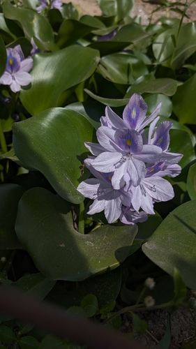
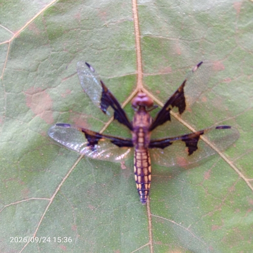
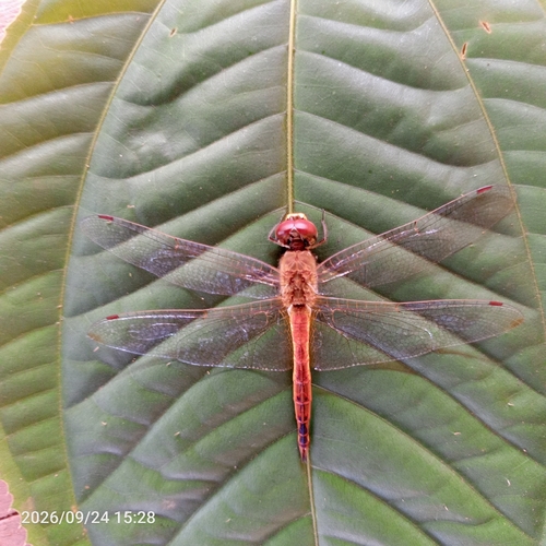
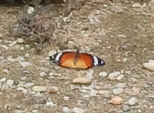
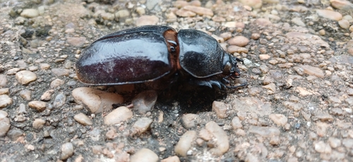
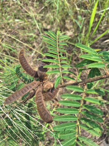
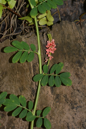
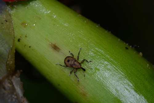
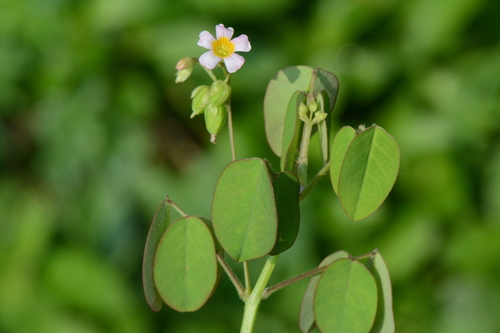
Research-grade observations from iNaturalist (within ~15 mi).
Events
Gallery
Sources
- • Wikipedia
- • Wikidata
- • Open-Meteo Air Quality (CAMS)
- • USGS Earthquake Catalog (global feed)
- • GBIF (Global Biodiversity Information Facility)
- • iNaturalist
- • Open-Meteo / sunrise-sunset.org
- • Wikipedia Pageviews API
- • Open Library