Browse / DR Congo / Haut-Katanga / Lubumbashi
Lubumbashi
Haut-Katangacity

Lubumbashi
Total population
1,139,064
Founded
1910
Demographic figures from INS DRC. Overview below cites Wikipedia and may reference a different year.
City facts
Facts from Wikidata (CC0).
Overview
Lubumbashi, formerly Élisabethville, is the second-largest city in the Democratic Republic of the Congo, located in the southeasternmost part of the country, near the border with Zambia. The capital and principal city of the Haut-Katanga Province, Lubumbashi is the center of mining in the region, acting as a hub for many of the country's largest mining companies. No definite population figures are available, but the population of the city's urban area is estimated to be around 2,584,000 in 2021.
Read more on WikipediaHistory & geography
History
The Belgian government established the modern-day government in the city of Élisabethville (sometimes Elizabethville, both in French, or Elisabethstad in Dutch) in 1910, named in honour of Queen Elisabeth, consort to King Albert I of the Belgians. By that time, the government had taken over the colony from King Leopold II, and renamed it as the Belgian Congo. This site was chosen by Vice-Governor-General Emile Wangermée because of its proximity to the copper mine of Etoile du Congo and the copper ore smelting oven installed by Union Minière du Haut Katanga on the nearby Lubumbashi River. The Comité Spécial du Katanga (CSK), a semi-private concessionary company set up in 1900, had its headquarters in Élisabethville throughout the colonial era. It enjoyed major privileges, mainly in terms of land and mining concessions, in the Katanga province. The city prospered with the development of a regional copper mining industry. Huge investments in the 1920s, both in the mining industry and in transport infrastructure (railline Elisabethville-Port Francqui and Elisabethville-Dilolo), developed the Katanga province into one of the world's major copper ore producers. The population of the city grew apace from approx. 30,000 in 1930, to 50,000 in 1943 and 180,000 in 1957. It was the second city of the Belgian Congo, after Léopoldville. As was customary with European colonies, the city centre of Élisabethville was reserved for the minority white (European) population. This consisted mainly of Belgian nationals, but the city also attracted important British and Italian communities, as well as Jewish Greeks. Congolese were allowed in the white city only during the day, except for the house servants ("boys") who often lived in shanty dwellings ("boyeries") located in the backyards…
Geography
Lubumbashi lies at around above sea level. The high altitude serves to cool the climate, which would otherwise be very hot. The Kafue River rises along the Zambian border near the city and meanders through north-central Zambia to the Zambezi River, cutting a long, deep panhandle into the country. Lubumbashi has a dry-winter humid subtropical climate (Cwa, according to the Köppen climate classification), with warm rainy summers and pleasant, dry winters, with most rainfall occurring during summer and early autumn. Annual average rainfall is 1,238 mm (48.75 inches). {|style="width:100%;text-align:center;line-height:1.2em;margin-left:auto;margin-right:auto" class="wikitable mw-collapsible" |- !Colspan=14|Maximum UV index for Lubumbashi |- !Month !Jan !Feb !Mar !Apr !May !Jun !Jul !Aug !Sep !Oct !Nov !Dec !Year |- !Average Ultraviolet index |style="background:#6b49c8;color:#000000;"|11+ |style="background:#6b49c8;color:#000000;"|11+ |style="background:#6b49c8;color:#000000;"|11+ |style="background:#6b49c8;color:#000000;"|11+ |style="background:#d8001d;color:#FFFFFF;"|10 |style="background:#d8001d;color:#FFFFFF;"|9 |style="background:#d8001d;color:#FFFFFF;"|9 |style="background:#6b49c8;color:#000000;"|11 |style="background:#6b49c8;color:#000000;"|11+ |style="background:#6b49c8;color:#000000;"|11+ |style="background:#6b49c8;color:#000000;"|11+ |style="background:#6b49c8;color:#000000;"|11+ |style="background:#d8001d;color:#FFFFFF;border-left-width:medium"|10.8 |- !Colspan=14 style="background:#f8f9fa;font-weight:normal;font-size:95%;"|Source: weather2travel.com |}
Excerpted from the corresponding Wikipedia article (CC BY-SA).
Geography
Coordinates & boundaries from the US Census TIGER/Line shapefiles.
Climate
Air quality
Walkability
Amenities nearby
Wildlife & biodiversity
Most-observed species
- Common BulbulPycnonotus barbatus (Desfontaines, 1789) · Aves24
- African Pied WagtailMotacilla aguimp Temminck, 1820 · Aves23
- House SparrowPasser domesticus (Linnaeus, 1758) · Aves20
- Northern FiscalLanius humeralis Stanley, 1814 · Aves18
- Pied CrowCorvus albus Statius Muller, 1776 · Aves17
- Speckled MousebirdColius striatus J.F.Gmelin, 1789 · Aves17
- Bronze mannikinLonchura cucullata (Swainson, 1837) · Aves16
- Northern Gray-headed SparrowPasser griseus (Vieillot, 1817) · Aves16
Citizen-science & research observations from the Global Biodiversity Information Facility (GBIF).
Earthquake history
Most recent
- M 4.2 — 2025-05-0463 km S of Likasi, Democratic Republic of the Congo
Events from the USGS Earthquake Catalog (global) (FDSN Event Web Service).
Photos
Sights & places nearby
Notable people from here


People born within ~10 km, from Wikidata (CC0). Click any name for their Wikipedia article.
Nearby places in Haut-Katanga
Geography & sun
Elevation, sunrise/sunset and daylight from Open-Meteo. Solar climatology from NASA POWER.
Nearby airports
Public attention
Pageview totals from the Wikimedia Pageviews API.
Books about Lubumbashi
Search results from Open Library.
Recent natural events nearby
Ground air-quality sensors
Recently spotted species
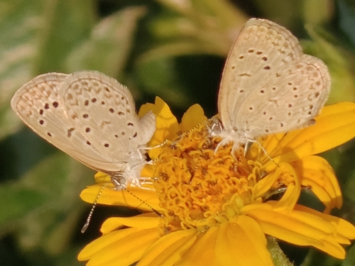
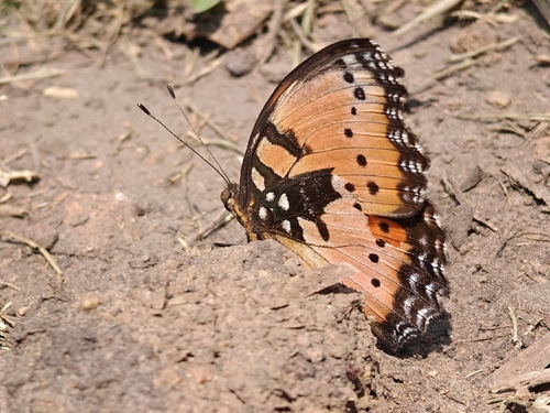
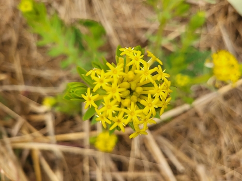
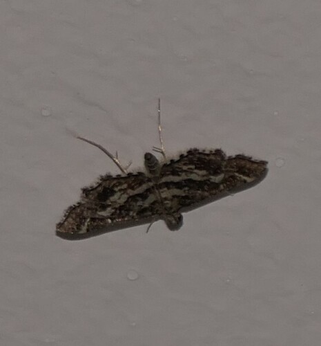
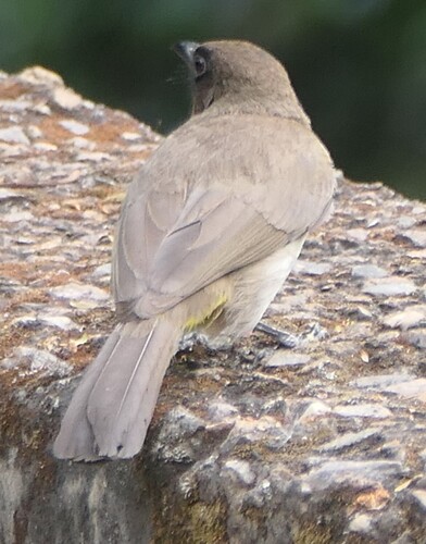
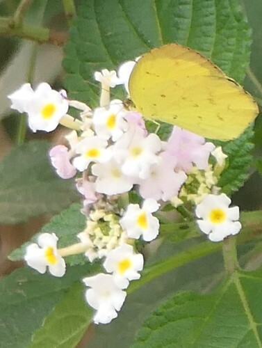
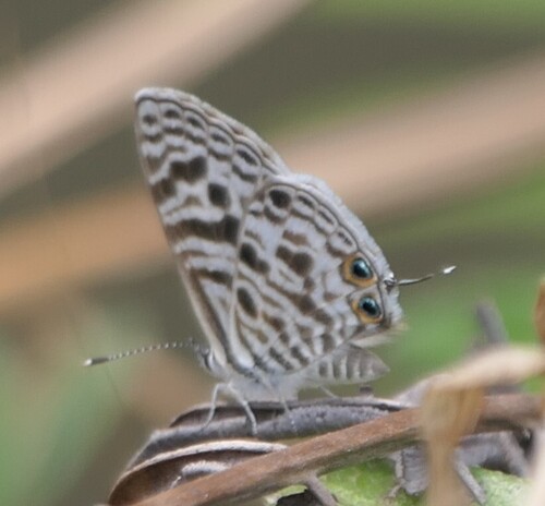
Research-grade observations from iNaturalist (within ~15 mi).
Events
Gallery
Sources
- • Wikipedia
- • Wikidata
- • USGS Earthquake Catalog (global feed)
- • GBIF (Global Biodiversity Information Facility)
- • iNaturalist
- • Open-Meteo / sunrise-sunset.org
- • Wikipedia Pageviews API
- • Open Library