Browse / DR Congo / Kasaï-Oriental / Mbuji-Mayi
Mbuji-Mayi
Kasaï-Orientalcity

Mbuji-Mayi
Total population
1,680,991
Founded
1914
Demographic figures from INS DRC. Overview below cites Wikipedia and may reference a different year.
City facts
Facts from Wikidata (CC0).
Overview
Mbuji-Mayi is a city and the capital of Kasai-Oriental Province in the south-central Democratic Republic of Congo. It is thought to be the second largest city in the country, after the capital Kinshasa and ahead of Lubumbashi, Kisangani and Kananga, though its exact population is not known. Estimates range from a 2010 CIA World Factbook estimated population of 1,480,000 to as many as 3,500,000 estimated by the United Nations in 2008.
Read more on WikipediaHistory & geography
History
The region where the city of Mbuji-Mayi now stands was once a cluster of villages on land owned by the Bakwanga clan. Diamonds were first discovered in the area as early as 1907, but the true value of the find was not recognised until 1913. Following the discovery, a mining camp designed to house miners and company officials of the Societé minière de Bakwanga (MIBA) was developed in the area. The young city, known at the time as Bakwanga, grew quickly but around strict planning by MIBA, which divided the community into labor camps, mining areas and living quarters. The city's growth was not explosive, and planning was done with the needs of the mining company in mind, not the development of the region as a general population centre. In fact, fearing theft of the company's diamond resources, the MIBA actively discouraged building in the region and closely monitored who went in and out of the region. Every person in the region needed a permit allowing them to be there, and registration at a command post that monitored the population, which made indefinite residence in the area almost impossible to establish. There was limited economic activity besides the company-run mining, with even limited agriculture, and the city's population remained low, at approximately 39,830 by the late 1950s. As the city grew, more and more infrastructure needs required investment in roads, public works and hospitals. While several primary schools were developed for workers, until independence, there was no higher education available for the native population. The city was constructed on top of the diamond deposits, and while the city's reputation as a company town under tight control of Belgian economic interests led the Belgians to invest in self-serving infrastructure, it also meant that…
Excerpted from the corresponding Wikipedia article (CC BY-SA).
Geography
Coordinates & boundaries from the US Census TIGER/Line shapefiles.
Climate
Air quality
Walkability
Amenities nearby
Wildlife & biodiversity
Earthquake history
Events from the USGS Earthquake Catalog (global) (FDSN Event Web Service).
Photos
Sights & places nearby
Notable people from here


People born within ~10 km, from Wikidata (CC0). Click any name for their Wikipedia article.
Nearby places in Kasaï-Oriental
Geography & sun
Elevation, sunrise/sunset and daylight from Open-Meteo. Solar climatology from NASA POWER.
Nearby airports
Public attention
Pageview totals from the Wikimedia Pageviews API.
Books about Mbuji-Mayi
Search results from Open Library.
Recent natural events nearby
Ground air-quality sensors
Recently spotted species
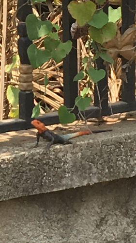
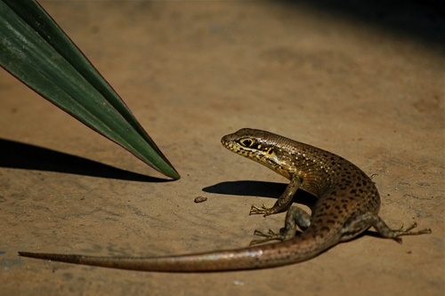
Research-grade observations from iNaturalist (within ~15 mi).
Events
Gallery
Sources
- • Wikipedia
- • Wikidata
- • USGS Earthquake Catalog (global feed)
- • GBIF (Global Biodiversity Information Facility)
- • iNaturalist
- • Open-Meteo / sunrise-sunset.org
- • Wikipedia Pageviews API
- • Open Library