Browse / DR Congo / Lualaba / Tenke
Tenke
Lualabatown
Total population
50,000
Demographic figures from INS DRC. Overview below cites Wikipedia and may reference a different year.
City facts
Overview
Found in Lualaba, DR Congo, Tenke is classified as a sizeable town in public datasets. Census-style estimates put the resident count near 50,000. On the world map it falls within the Eastern Hemisphere, specifically at -10.605°, 26.118°. The location receives about 2,018 kWh/m² of solar irradiance per year and sunshine for roughly 79% of daylight hours. Its latitude implies a climate characterised by warm temperatures throughout the year with pronounced wet and dry seasons. Open-data panels below dive into population trends, climate normals, environmental indicators and nearby places.
Summary composed automatically from structured open data on this page. See our Terms for details.
History & geography
Geography
Coordinates & boundaries from the US Census TIGER/Line shapefiles.
Climate
Air quality
Walkability
Amenities nearby
Wildlife & biodiversity
Most-observed species
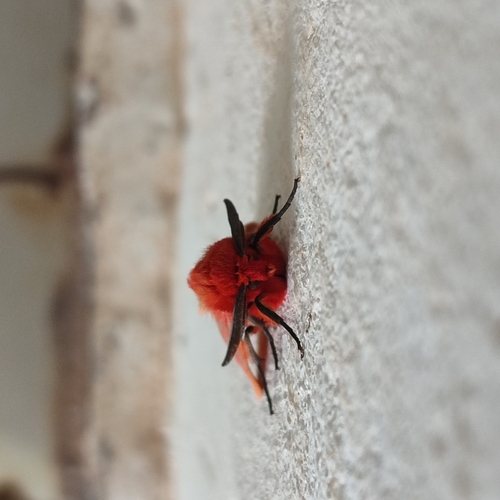
- Diasemopsis aethiopica (Rondani, 1873)Diasemopsis aethiopica (Rondani, 1873) · Insecta1
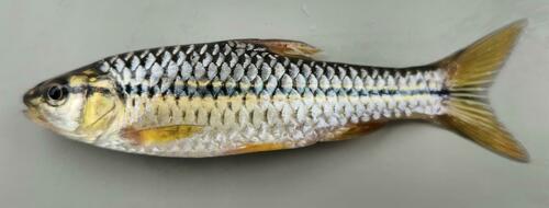
- Opsaridium leleupi (Matthes, 1965)Opsaridium leleupi (Matthes, 1965) · Animalia1
- banded tilapiaTilapia sparrmanii Smith, 1840 · Animalia1
- Spotted Bush SnakePhilothamnus semivariegatus (Smith, 1840) · Squamata1
- ItchgrassRottboellia cochinchinensis (Lour.) Clayton · Liliopsida1
- Gladiolus debeerstii De Wild.Gladiolus debeerstii De Wild. · Liliopsida1
- Guinea-plumParinari excelsa Sabine · Magnoliopsida1
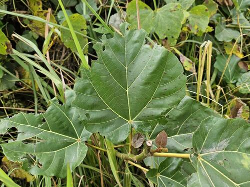
- wild grapeLannea edulis (Sond.) Engl. · Magnoliopsida1
Citizen-science & research observations from the Global Biodiversity Information Facility (GBIF).
Earthquake history
Most recent
- M 4.4 — 2022-11-16Democratic Republic of the Congo
- M 4.5 — 2016-06-0319 km NW of Kambove, Democratic Republic of the Congo
Events from the USGS Earthquake Catalog (global) (FDSN Event Web Service).
Photos
Sights & places nearby
Notable people from here
Nearby places in Lualaba
- Kapata51 mi away
- Hrebenne4209.8 mi away · pop. 209
- Huta Lubycka4212.1 mi away
- Teniatyska4212.7 mi away
- Wola Różaniecka4214.9 mi away · pop. 784
- Wola Kulońska4218.1 mi away · pop. 83
- Szyszków4218.2 mi away · pop. 560
- Machnówek4218.3 mi away · pop. 170
- Łaszczówka4220.5 mi away
- Podlodów4221 mi away
- Łubcze4221.3 mi away · pop. 356
- Przewodów4222.2 mi away · pop. 710
Geography & sun
Elevation, sunrise/sunset and daylight from Open-Meteo. Solar climatology from NASA POWER.
Nearby airports
Public attention
Books about this place
Recent natural events nearby
Ground air-quality sensors
Recently spotted species
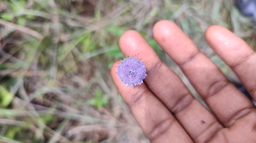
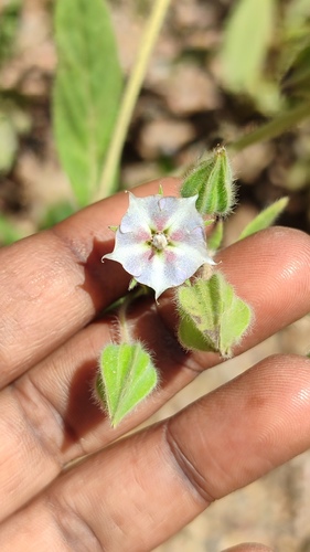
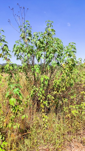
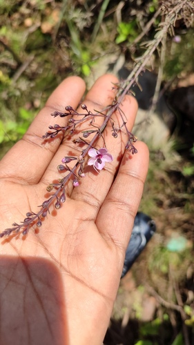
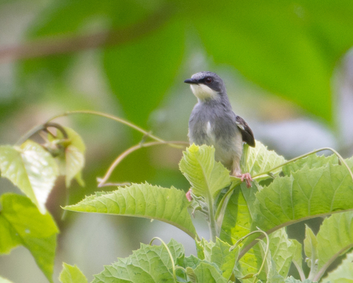
Research-grade observations from iNaturalist (within ~15 mi).
Events
Gallery
Sources
- • Wikidata
- • USGS Earthquake Catalog (global feed)
- • GBIF (Global Biodiversity Information Facility)
- • iNaturalist
- • Open-Meteo / sunrise-sunset.org