Browse / Switzerland / Aargau / Aarau
Aarau
Aargautown

Aarau
Total population
21,191
Founded
1240
Demographic figures from Swiss Federal Statistical Office. Overview below cites Wikipedia and may reference a different year.
City facts
Sister cities
Facts from Wikidata (CC0).
Overview
Aarau is a town, a municipality, and the capital of the northern Swiss canton of Aargau. The town is also the capital of the district of Aarau. It is German-speaking and predominantly Protestant. Aarau is situated on the Swiss plateau, in the valley of the Aare, on the river's right bank, and at the southern foot of the Jura Mountains, and is west of Zurich, 58 kilometres south of Basel and 65 kilometres northeast of Bern. The municipality borders directly on the canton of Solothurn to the west. It is the largest town in Aargau. At the beginning of 2010 Rohr became a district of Aarau.
Read more on WikipediaHistory & geography
History
A few artifacts from the Neolithic period were found in Aarau. Near the location of the present train station, the ruins of a settlement from the Bronze Age (about 1000 BC) have been excavated. The Roman road between Salodurum (Solothurn) and Vindonissa passed through the area, along the route now covered by the Bahnhofstrasse. In 1976 divers in the Aare found part of a seven-meter wide wooden bridge from the late Roman times. Aarau was founded around AD 1240 by the counts of Kyburg. The town was ruled from the "Rore" tower, which has been incorporated into the modern city hall. In 1273 the counts of Kyburg died out. Agnes of Kyburg, who had no male relations, sold the family's lands to King Rudolf I von Habsburg. He granted Aarau its city rights in 1283. Starting in the early 18th century, the textile industry was established in Aarau. German immigration contributed to the city's favorable conditions, in that they introduced the cotton and silk factories. These highly educated immigrants were also responsible for educational reform and the enlightened, revolutionary spirit that developed in Aarau. On 27 December 1797, the last Tagsatzung of the Old Swiss Confederacy was held in Aarau. Two weeks later a French envoy continued to foment the revolutionary opinions of the city. The contrast between a high level of education and a low level of political rights was particularly great in Aarau, and the city refused to send troops to defend the Bernese border. By Mid-March 1798 Aarau was occupied by French troops. On 22 March 1798 Aarau was declared the capital of the Helvetic Republic.
Excerpted from the corresponding Wikipedia article (CC BY-SA).
Geography
Coordinates & boundaries from the US Census TIGER/Line shapefiles.
Climate
Air quality
Walkability
Amenities nearby
Wildlife & biodiversity
Most-observed species
- Meadow BrownManiola jurtina (Linnaeus, 1758) · Insecta12,345
- Annual FleabaneErigeron annuus (L.) Pers. · Magnoliopsida7,740
- European roe deerCapreolus capreolus (Linnaeus, 1758) · Mammalia7,272
- Common BluePolyommatus icarus (von Rottemburg, 1775) · Insecta6,664
- Marbled WhiteMelanargia galathea Linnaeus, 1758 · Insecta6,193
- Small HeathCoenonympha pamphilus (Linnaeus, 1758) · Insecta4,719
- red foxVulpes vulpes (Linnaeus, 1758) · Mammalia3,808
- Indian BalsamImpatiens glandulifera Royle · Magnoliopsida3,573
Citizen-science & research observations from the Global Biodiversity Information Facility (GBIF).
Earthquake history
Most recent
- M 3.7 — 2026-04-264 km N of Quarten, Switzerland
- M 4.1 — 2025-07-214 km E of Frutigen, Switzerland
- M 3.5 — 2024-06-271 km SSW of Todtmoos, Germany
- M 4.2 — 2024-06-042 km NNW of Unteriberg, Switzerland
- M 4.4 — 2023-03-221 km NW of Pont-de-Roide, France
- M 3.9 — 2022-09-101 km WSW of Zimmersheim, France
Events from the USGS Earthquake Catalog (global) (FDSN Event Web Service).
Photos
Sights & places nearby
Notable people from here
Nearby places in Aargau
- Küttigen1.8 mi away · pop. 6,086
- Unterentfelden1.8 mi away · pop. 4,011
- Suhr2.1 mi away · pop. 10,130
- Biberstein2.3 mi away · pop. 1,584
- Gränichen3.4 mi away · pop. 7,706
- Thalheim4 mi away · pop. 836
- Auenstein4.6 mi away · pop. 1,574
- Hirschthal5 mi away · pop. 1,573
- Holziken5 mi away · pop. 1,184
- Wölflinswil5.2 mi away · pop. 1,042
- Oberflachs5.2 mi away · pop. 468
- Oberzeihen5.4 mi away
Geography & sun
Elevation, sunrise/sunset and daylight from Open-Meteo. Solar climatology from NASA POWER.
Nearby airports
Public attention
Pageview totals from the Wikimedia Pageviews API.
Books about Aarau

Search results from Open Library.
Recent natural events nearby
Ground air-quality sensors
Recently spotted species
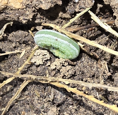
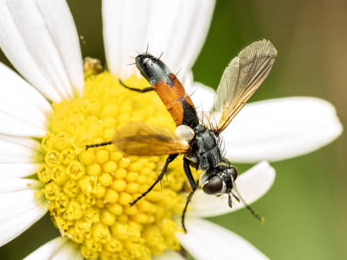
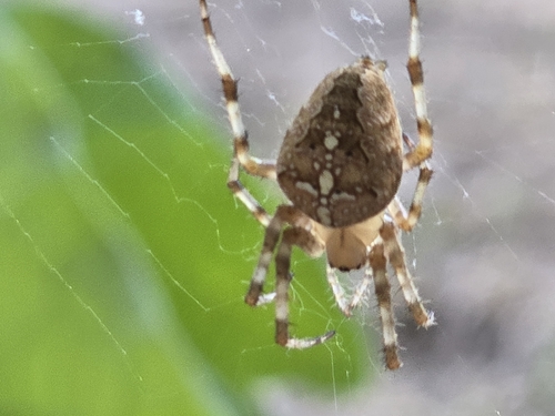
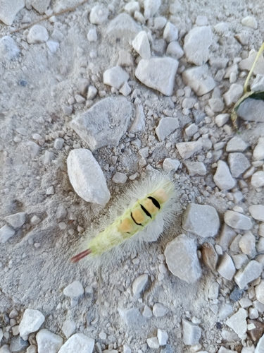
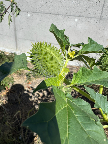
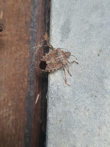
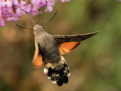
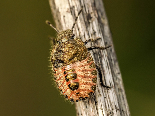
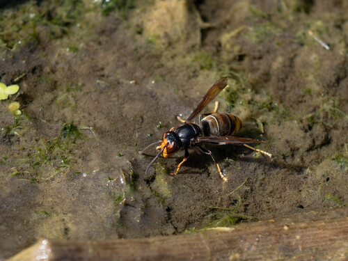
Research-grade observations from iNaturalist (within ~15 mi).
Events
Notable, recurring, and historical events associated with Aarau, sourced from Wikidata.
- Jan 1, 2017
Source: Wikidata (CC0).
Gallery
Official Identifiers
BFS — Swiss Federal Statistical Office
- BFS-Nr
- 4001
- Population (Wikidata)
- 22,710
- Wikidata
- Q14274
Gemeindenummer via Wikidata P771
Sources
- • Wikipedia
- • Wikidata
- • USGS Earthquake Catalog (global feed)
- • GBIF (Global Biodiversity Information Facility)
- • iNaturalist
- • Open-Elevation
- • Open-Meteo / sunrise-sunset.org
- • Wikipedia Pageviews API
- • Open Library
- • Wikidata SPARQL (CC0) — population, area, elevation, inception, head of government, Commons image
- • BFS — Swiss Federal Statistical Office — Gemeindenummer via Wikidata P771