Browse / Switzerland / Bern / Aarwangen
Aarwangen
Bernvillage

Aarwangen
Total population
4,253
Demographic figures from Swiss Federal Statistical Office. Overview below cites Wikipedia and may reference a different year.
City facts
Sister cities
Facts from Wikidata (CC0).
Overview
Aarwangen is a village and a municipality in the Oberaargau administrative district in the canton of Bern in Switzerland.
Read more on WikipediaHistory & geography
History
Aarwangen is first mentioned in 1255 as villa Arwangen. The Grünenberg family did not last long and had already disappeared from the archives by the early 14th century, when the city of Bern established sovereignty over the region. In 1432, after the conquest of the neighbouring Aargau, Aarwangen Castle was purchased by the city of Bern, which then acquired the remainder of the former Grünenberg estate, including the area of the current district of Aarwangen, in 1480. Thus the Bailiffs of Bern came to Aarwangen. Altogether, 75 Bailiffs resided in the castle, where their coat of arms, with its distinctive black bear, is still displayed prominently on the outer wall. They stayed until the revolt, and the end of the Bernese city state, in the spring of 1798, during which the castle sustained serious damage, with the interior almost gutted. In the year 1803 the canton Bern was divided into official districts and Aarwangen became seat of the district of Aarwangen. The castle was in private hands for a few years, until it was repurchased and restored by the Canton of Bern where it has become the district court and administrative buildings.
Geography
Aarwangen has an area of . Of this area, or 45.6% is used for agricultural purposes, while or 36.2% is forested. Of the rest of the land, or 15.0% is settled (buildings or roads), or 2.9% is either rivers or lakes and or 0.3% is unproductive land. Of the built up area, industrial buildings made up 1.4% of the total area while housing and buildings made up 8.8% and transportation infrastructure made up 3.1%. Power and water infrastructure as well as other special developed areas made up 1.1% of the area Out of the forested land, 34.4% of the total land area is heavily forested and 1.7% is covered with orchards or small clusters of trees. Of the agricultural land, 31.0% is used for growing crops and 12.1% is pastures, while 2.5% is used for orchards or vine crops. All the water in the municipality is flowing water. The municipality is located on the right bank of the Aare. It consists of the linear village of Aarwangen with the village sections of Bleuerain, Mumenthal, Schürhof, Vorstadt, Hard and Moosberg and the hamlets of Haldimoos and Meiniswil.
Excerpted from the corresponding Wikipedia article (CC BY-SA).
Geography
Coordinates & boundaries from the US Census TIGER/Line shapefiles.
Climate
Air quality
Walkability
Amenities nearby
Wildlife & biodiversity
Most-observed species
- European roe deerCapreolus capreolus (Linnaeus, 1758) · Mammalia16,776
- red foxVulpes vulpes (Linnaeus, 1758) · Mammalia8,972
- Meadow BrownManiola jurtina (Linnaeus, 1758) · Insecta7,585
- Marbled WhiteMelanargia galathea Linnaeus, 1758 · Insecta3,892
- European badgerMeles meles (Linnaeus, 1758) · Mammalia2,974
- Common BluePolyommatus icarus (von Rottemburg, 1775) · Insecta2,957
- Eurasian beaverCastor fiber Linnaeus, 1758 · Mammalia2,397
- Small HeathCoenonympha pamphilus (Linnaeus, 1758) · Insecta2,279
Citizen-science & research observations from the Global Biodiversity Information Facility (GBIF).
Earthquake history
Most recent
- M 4.1 — 2025-07-214 km E of Frutigen, Switzerland
- M 3.5 — 2024-06-271 km SSW of Todtmoos, Germany
- M 4.2 — 2024-06-042 km NNW of Unteriberg, Switzerland
- M 4.4 — 2023-03-221 km NW of Pont-de-Roide, France
- M 3.9 — 2022-09-101 km WSW of Zimmersheim, France
- M 4.1 — 2021-12-242 km WSW of Blamont, France
Events from the USGS Earthquake Catalog (global) (FDSN Event Web Service).
Photos
Sights & places nearby
Notable people from here
Nearby places in Bern
- Thunstetten2.6 mi away · pop. 3,066
- Graben2.7 mi away · pop. 333
- Obersteckholz3.5 mi away · pop. 412
- Walliswil bei Niederbipp3.7 mi away · pop. 239
- Heimenhausen4 mi away · pop. 1,021
- Walliswil bei Wangen4 mi away · pop. 611
- Untersteckholz4.1 mi away · pop. 166
- Gutenburg4.1 mi away · pop. 115
- Wanzwil4.5 mi away · pop. 241
- Herzogenbuchsee4.6 mi away · pop. 7,438
- Busswil4.6 mi away · pop. 195
- Rütschelen4.6 mi away · pop. 566
Geography & sun
Elevation, sunrise/sunset and daylight from Open-Meteo. Solar climatology from NASA POWER.
Nearby airports
Public attention
Pageview totals from the Wikimedia Pageviews API.
Books about Aarwangen
Search results from Open Library.
Recent natural events nearby
Ground air-quality sensors
Recently spotted species
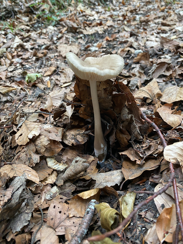
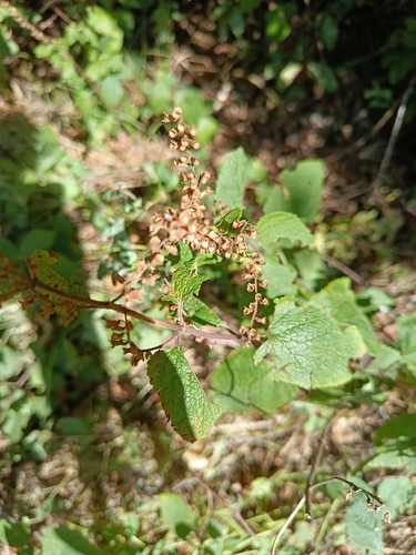
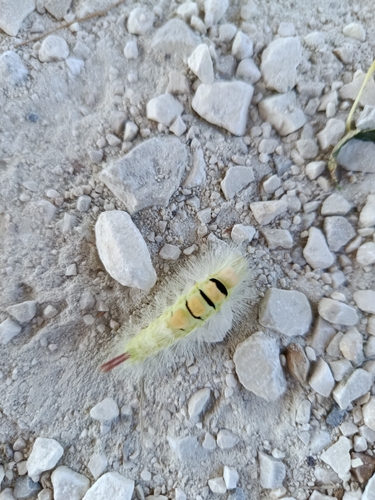
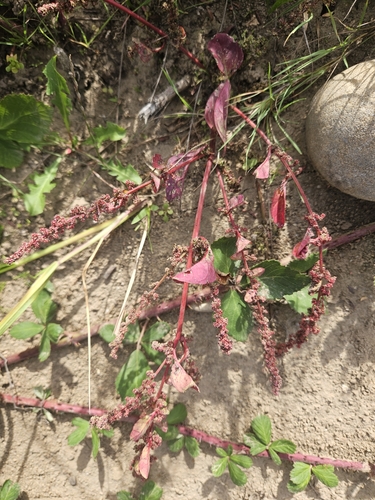
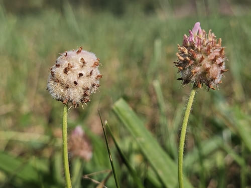
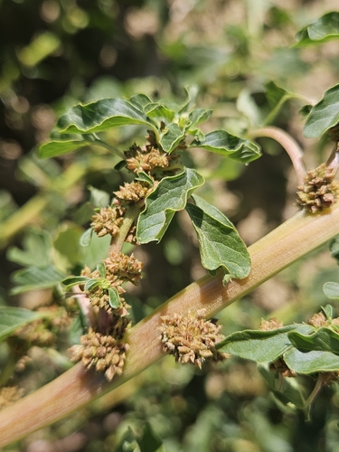
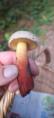
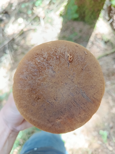
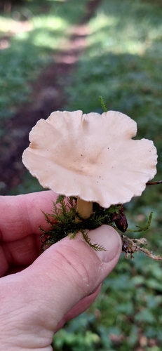
Research-grade observations from iNaturalist (within ~15 mi).
Events
Gallery
Official Identifiers
BFS — Swiss Federal Statistical Office
- BFS-Nr
- 321
- Population (Wikidata)
- 4,561
- Wikidata
- Q69222
Gemeindenummer via Wikidata P771
Sources
- • Wikipedia
- • Wikidata
- • USGS Earthquake Catalog (global feed)
- • GBIF (Global Biodiversity Information Facility)
- • iNaturalist
- • Open-Meteo / sunrise-sunset.org
- • Wikipedia Pageviews API
- • Open Library
- • Wikidata SPARQL (CC0) — population, area, elevation, inception, head of government, Commons image
- • BFS — Swiss Federal Statistical Office — Gemeindenummer via Wikidata P771