Browse / Switzerland / Thurgau / Altnau
Altnau
Thurgauvillage

Altnau
Total population
2,355
Demographic figures from Swiss Federal Statistical Office. Overview below cites Wikipedia and may reference a different year.
City facts
Facts from Wikidata (CC0).
Overview
Altnau is a municipality in the district of Kreuzlingen in the canton of Thurgau in Switzerland.
Read more on WikipediaHistory & geography
History
Near the hamlet of Ruderbaum, the remains of a Horgen culture settlement have been discovered. Below the Horgen site, there also may be a Pfyn culture site, but that is less certain. The modern village of Altnau may be first mentioned in 787 as Althinouva. In the 8th Century the Abbey of St. Gall owned most of the land in Altnau. In 1155, Emperor Friedrich Barbarossa confirmed that the Cathedral of Constance owned the church and church yard in the village. The vogt right over the church's farms belonged to the Freiherr of Altenklingen after 1300. During the Late Middle Ages, this right was given to several noble families from Constance; 1378 Schwarz, 1430 Tettikofen, 1468 Mangolte, and from 1471 until 1798 the city of Constance directly controlled the farms. In 1454 the villagers were represented in the Appenzell Landrecht, but following complaints from Constance they were forced to give up their membership. The rights of the village are first listed in the Gerichtsoffnung of 1468. The right to administer the parish of Altnau went from the cathedral's provost to the cathedral's dean in 1347. After the Protestant Reformation in 1528, the few remaining Catholics were looked after by Constance and the village church became a shared church. This situation remained until 1810 when two churches were completed. Until the 19th Century, most of the local economy revolved around three-field agriculture. About 1880 a dairy company was founded in the village, and livestock and cheese production became common. Viticulture was common from the Middle Ages until 1912. In 1840 the Seestrasse (Lake Road) was built, and in 1870, the Seetalbahn (railroad line) was added. However, neither the road or the railroad led to a boost in the local economy, as the station was too…
Geography
Altnau has an area, , of . Of this area, or 70.7% is used for agricultural purposes, while or 15.4% is forested. Of the rest of the land, or 13.9% is settled (buildings or roads), or 0.3% is either rivers or lakes. Of the built up area, industrial buildings made up 7.0% of the total area while housing and buildings made up 0.6% and transportation infrastructure made up 0.7%. Power and water infrastructure as well as other special developed areas made up 1.6% of the area while parks, green belts and sports fields made up 3.9%. Out of the forested land, all of the forested land area is covered with heavy forests. Of the agricultural land, 47.2% is used for growing crops, while 23.5% is used for orchards or vine crops. All the water in the municipality is flowing water. The municipality is located in the Kreuzlingen district along the Romanshorn-Kreuzlingen road about from Lake Constance.
Excerpted from the corresponding Wikipedia article (CC BY-SA).
Geography
Coordinates & boundaries from the US Census TIGER/Line shapefiles.
Climate
Air quality
Walkability
Amenities nearby
Wildlife & biodiversity
Most-observed species
- Indian BalsamImpatiens glandulifera Royle · Magnoliopsida4,474
- MallardAnas platyrhynchos Linnaeus, 1758 · Aves3,447
- Carrion CrowCorvus corone Linnaeus, 1758 · Aves3,257
- Eurasian CootFulica atra Linnaeus, 1758 · Aves3,218
- Great Crested GrebePodiceps cristatus (Linnaeus, 1758) · Aves3,123
- Mute SwanCygnus olor (J.F.Gmelin, 1789) · Aves3,036
- Black-headed GullChroicocephalus ridibundus (Linnaeus, 1766) · Aves2,983
- Great Cormorant/European ShagPhalacrocorax carbo (Linnaeus, 1758) · Aves2,808
Citizen-science & research observations from the Global Biodiversity Information Facility (GBIF).
Earthquake history
Most recent
- M 3.7 — 2026-04-264 km N of Quarten, Switzerland
- M 3.5 — 2024-06-271 km SSW of Todtmoos, Germany
- M 4.2 — 2024-06-042 km NNW of Unteriberg, Switzerland
- M 3.4 — 2022-10-16Baden-Wurttemberg, Germany
- M 3.8 — 2022-09-012 km WSW of Sevelen, Switzerland
- M 4 — 2022-07-092 km NNE of Grosselfingen, Germany
Events from the USGS Earthquake Catalog (global) (FDSN Event Web Service).
Photos
Sights & places nearby
Notable people from here


People born within ~10 km, from Wikidata (CC0). Click any name for their Wikipedia article.
Nearby places in Thurgau
- Landschlacht1.1 mi away
- Zuben1.2 mi away
- Langrickenbach1.4 mi away · pop. 1,503
- Schönenbaumgarten1.4 mi away
- Herrenhof1.4 mi away
- Güttingen1.4 mi away · pop. 1,799
- Münsterlingen1.8 mi away · pop. 3,723
- Scherzingen2.3 mi away
- Illighausen2.5 mi away
- Dettighofen (Lengwil)2.8 mi away
- Klarsreuti2.8 mi away
- Happerswil3 mi away
Geography & sun
Elevation, sunrise/sunset and daylight from Open-Meteo. Solar climatology from NASA POWER.
Nearby airports
Public attention
Pageview totals from the Wikimedia Pageviews API.
Books about this place
Recent natural events nearby
Ground air-quality sensors
Recently spotted species
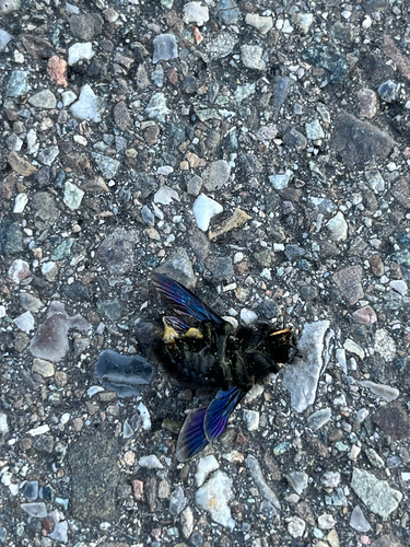
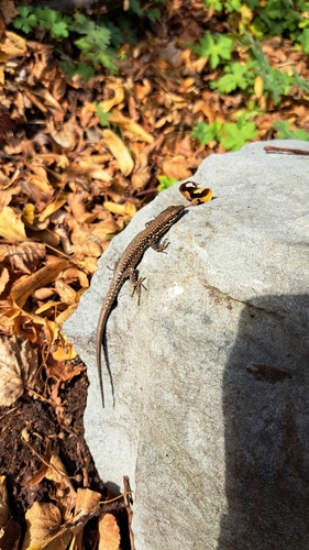
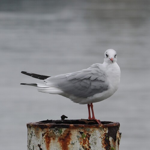
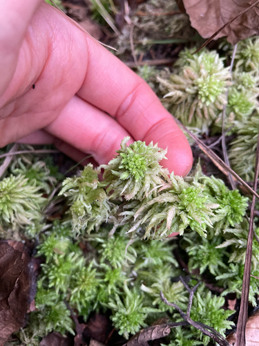
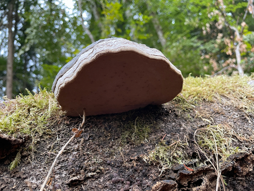
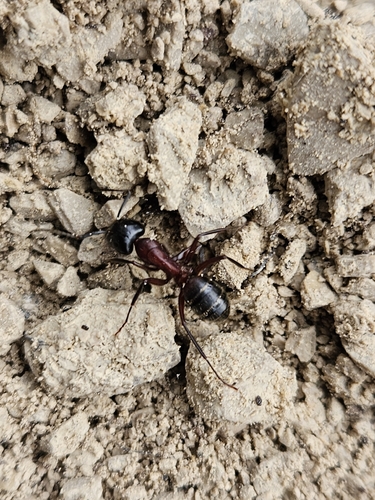
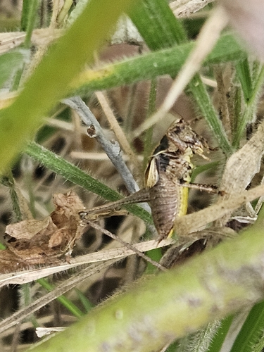
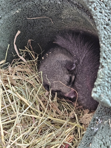
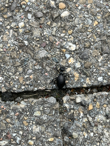
Research-grade observations from iNaturalist (within ~15 mi).
Events
Gallery
Official Identifiers
BFS — Swiss Federal Statistical Office
- BFS-Nr
- 4641
- Population (Wikidata)
- 2,244
- Wikidata
- Q69237
Gemeindenummer via Wikidata P771
Sources
- • Wikipedia
- • Wikidata
- • USGS Earthquake Catalog (global feed)
- • GBIF (Global Biodiversity Information Facility)
- • iNaturalist
- • Open-Meteo / sunrise-sunset.org
- • Wikipedia Pageviews API
- • Wikidata SPARQL (CC0) — population, area, elevation, inception, head of government, Commons image
- • BFS — Swiss Federal Statistical Office — Gemeindenummer via Wikidata P771