Browse / Switzerland / Vaud / Avenches
Avenches
Vaudvillage

Avenches
Total population
4,875
Demographic figures from Swiss Federal Statistical Office. Overview below cites Wikipedia and may reference a different year.
City facts
Facts from Wikidata (CC0).
Overview
Avenches is a Swiss municipality in the canton of Vaud, located in the district of Broye-Vully.
Read more on WikipediaHistory & geography
History
The roots of Avenches go back to the Celts. A tribe of Helvetians had built a settlement on the hills of Bois de Châtel, south of the later Roman settlement. Nearby the Helvetii seem to have had their capital on Mont Vully as shown in recent archaeological excavation. The canal-La Broye-which joins Lac Morat to Lac Neuchâtel is thought to be Roman in origin. The establishment of the Roman settlement of Aventicum, which became the capital of the province, took place around 15-13 B.C. The name comes from the Helvetian spring goddess Aventia. After patronage by the emperor Vespasian, Aventicum soon developed into a blooming commercial center with over 20,000 inhabitants. The town was granted colonia status-a retirement location for legionaries- although the built up area of the town occupied only a fraction of the walled area -the walls are some 5.6 kilometers in length. The walls were clearly a statement of status rather than being a practical defensive system. Excavations have revealed the detail of the theatre and major temple complex dedicated to the "genius" of Helvetia-Roman Switzerland. One column of the temple stands as the "cigognier"- formerly a nesting site for storks. Other parts of the city still visible are the amphitheatre which includes a later tower now housing the Professor Hans Bogli museum, the baths, the walls, two of the entrances gates, a smaller temple and part of a place building. Excavated but reburied is much of the Roman city. This part of Switzerland was invaded by the Alamanni tribe in the 280's who settled the German speaking parts of Switzerland giving the area its characteristic dialect of German. Rome never really held the area again and after the fall of Rome in the 5th century, a much smaller settlement was built on the former…
Geography
Avenches has an area, , of . Of this area, or 63.4% is used for agricultural purposes, while or 15.8% is forested. Of the rest of the land, or 19.6% is settled (buildings or roads), or 0.9% is either rivers or lakes and or 0.2% is unproductive land. Of the built up area, industrial buildings made up 1.8% of the total area while housing and buildings made up 4.1% and transportation infrastructure made up 6.0%. while parks, green belts and sports fields made up 6.8%. Out of the forested land, 13.4% of the total land area is heavily forested and 2.4% is covered with orchards or small clusters of trees. Of the agricultural land, 51.7% is used for growing crops and 10.6% is pastures. Of the water in the municipality, 0.3% is in lakes and 0.5% is in rivers and streams. Avenches is located on a hill, isolated in the Broye valley, north-west of Fribourg. The village Donatyre (), south of Avenches, belongs to the municipality of Avenches, partly until 2006, and entirely since the municipality of Donatyre merged with Avenches. The municipality of Oleyres merged on 1 January 2011 into the municipality of Avenches.
Excerpted from the corresponding Wikipedia article (CC BY-SA).
Geography
Coordinates & boundaries from the US Census TIGER/Line shapefiles.
Climate
Air quality
Walkability
Amenities nearby
Wildlife & biodiversity
Earthquake history
Photos
Sights & places nearby
Notable people from here


People born within ~10 km, from Wikidata (CC0). Click any name for their Wikipedia article.
Nearby places in Vaud
- Donatyre0.8 mi away
- Oleyres1.8 mi away · pop. 240
- Faoug2.4 mi away · pop. 895
- Salavaux2.7 mi away
- Villars-le-Grand3 mi away · pop. 275
- Constantine3 mi away · pop. 327
- Bellerive VD3.2 mi away · pop. 632
- Missy3.4 mi away · pop. 336
- Vallamand3.5 mi away · pop. 389
- Chabrey4.3 mi away · pop. 267
- Mur (Vully) VD4.5 mi away · pop. 203
- Corcelles-près-Payerne4.9 mi away · pop. 1,644
Geography & sun
Elevation, sunrise/sunset and daylight from Open-Meteo. Solar climatology from NASA POWER.
Nearby airports
Public attention
Pageview totals from the Wikimedia Pageviews API.
Books about Avenches
Search results from Open Library.
Recent natural events nearby
Ground air-quality sensors
Recently spotted species
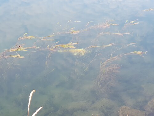
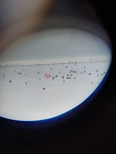
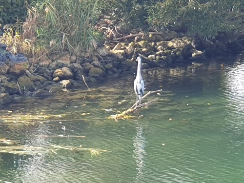
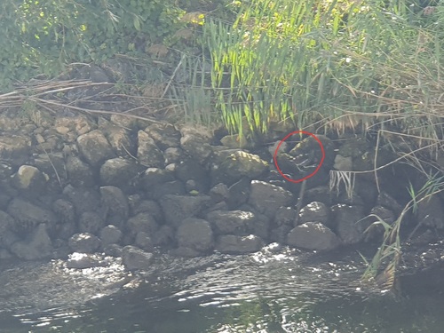
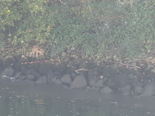
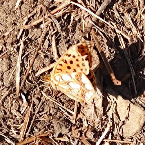
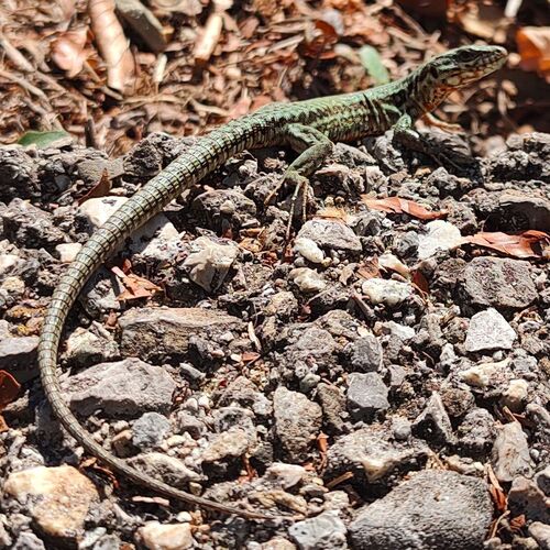
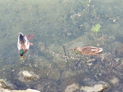
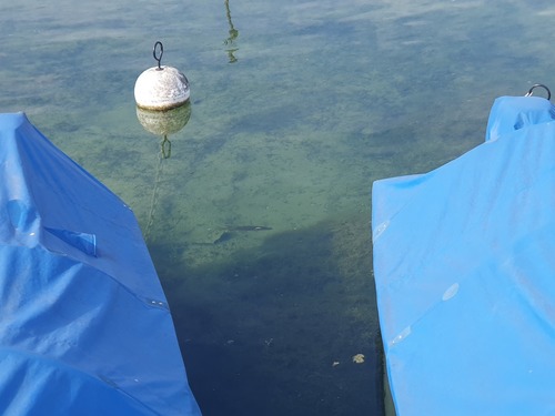
Research-grade observations from iNaturalist (within ~15 mi).
Events
Gallery
Official Identifiers
BFS — Swiss Federal Statistical Office
- BFS-Nr
- 5451
- Population (Wikidata)
- 4,208
- Wikidata
- Q43236
Gemeindenummer via Wikidata P771
Sources
- • Wikipedia
- • Wikidata
- • iNaturalist
- • Open-Meteo / sunrise-sunset.org
- • Wikipedia Pageviews API
- • Open Library
- • Wikidata SPARQL (CC0) — population, area, elevation, inception, head of government, Commons image
- • BFS — Swiss Federal Statistical Office — Gemeindenummer via Wikidata P771