Browse / Switzerland / Bern / Biglen
Biglen
Bernvillage

Biglen
Total population
1,814
Demographic figures from Swiss Federal Statistical Office. Overview below cites Wikipedia and may reference a different year.
City facts
Facts from Wikidata (CC0).
Overview
Biglen is a municipality in the Bern-Mittelland administrative district in the canton of Bern in Switzerland.
Read more on WikipediaHistory & geography
History
Biglen is first mentioned in 894 as Pigiluna. In 1236 it was mentioned as Biglun. In the 14th century Heinrich von Biglen, a citizen of Bern, acquired much of the village. He donated the village to the Niederspital of Bern in 1359. The village was part of several districts before being assigned to the Amtsbezirk Konolfingen in 1803. The first village church was probably built in the 11th century and was mentioned in 1236 as the Church of St. Peter. The current church building is from 1521. It was the parish church for a parish that included several near by farms and villages. Traditionally the village economy relied on subsistence agriculture. However, in the 18th century local farmers began to raise grass which they could harvest as hay for cattle. By the 19th century, dairy farming had replaced traditional agriculture. The first dairy and cheese maker opened in the area in 1828. A village school opened in 1878. In 1899 the Burgdorf-Thun Railway connected the village to the growing rail network. Easy transportation links allowed industry to flourish in Biglen. By 1990 over half of the jobs in Biglen were in industry and many other workers commuted to Bern or other towns for jobs.
Geography
Biglen has an area of . Of this area, or 72.4% is used for agricultural purposes, while or 6.1% is forested. Of the rest of the land, or 21.2% is settled (buildings or roads). Of the built up area, industrial buildings made up 1.9% of the total area while housing and buildings made up 12.3% and transportation infrastructure made up 6.1%. Out of the forested land, all of the forested land area is covered with heavy forests. Of the agricultural land, 47.6% is used for growing crops and 23.1% is pastures, while 1.7% is used for orchards or vine crops.
Excerpted from the corresponding Wikipedia article (CC BY-SA).
Geography
Coordinates & boundaries from the US Census TIGER/Line shapefiles.
Climate
Air quality
Walkability
Amenities nearby
Wildlife & biodiversity
Earthquake history
Photos
Sights & places nearby
Notable people from here


People born within ~10 km, from Wikidata (CC0). Click any name for their Wikipedia article.
Nearby places in Bern
- Grosshöchstetten1.4 mi away · pop. 4,185
- Walkringen1.5 mi away
- Oberthal2.3 mi away · pop. 804
- Trimstein2.7 mi away · pop. 509
- Worb3 mi away · pop. 11,449
- Gysenstein3 mi away
- Obergoldbach3.2 mi away
- Konolfingen3.3 mi away · pop. 4,606
- Vechigen Dorf3.4 mi away
- Niederhünigen3.4 mi away · pop. 709
- Oberhünigen3.4 mi away · pop. 296
- Vechigen3.5 mi away · pop. 4,614
Geography & sun
Elevation, sunrise/sunset and daylight from Open-Meteo. Solar climatology from NASA POWER.
Nearby airports
Public attention
Pageview totals from the Wikimedia Pageviews API.
Books about this place
Recent natural events nearby
Ground air-quality sensors
Recently spotted species
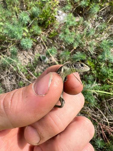
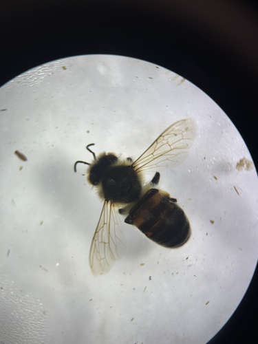
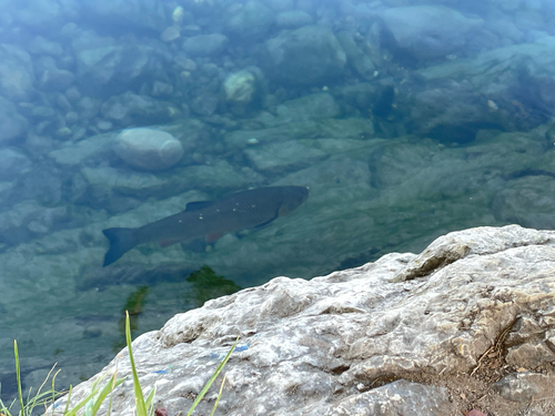
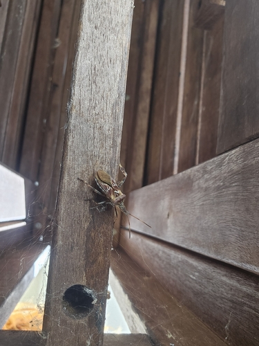
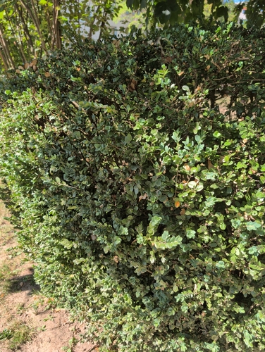
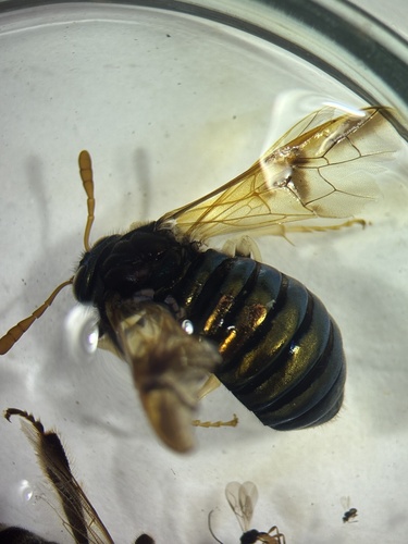
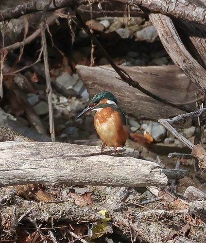
Research-grade observations from iNaturalist (within ~15 mi).
Events
Gallery
Official Identifiers
BFS — Swiss Federal Statistical Office
- BFS-Nr
- 603
- Population (Wikidata)
- 1,811
- Wikidata
- Q65875
Gemeindenummer via Wikidata P771
Sources
- • Wikipedia
- • Wikidata
- • iNaturalist
- • Open-Meteo / sunrise-sunset.org
- • Wikipedia Pageviews API
- • Wikidata SPARQL (CC0) — population, area, elevation, inception, head of government, Commons image
- • BFS — Swiss Federal Statistical Office — Gemeindenummer via Wikidata P771