Browse / Switzerland / Aargau / Böttstein
Böttstein
Aargauvillage

Böttstein
Total population
3,986
Demographic figures from Swiss Federal Statistical Office. Overview below cites Wikipedia and may reference a different year.
City facts
Facts from Wikidata (CC0).
Overview
Böttstein is a municipality in the district of Zurzach in the canton of Aargau in Switzerland.
Read more on WikipediaHistory & geography
History
Some scattered La Tène culture items have been discovered near Böttstein. The modern village of Böttstein is first mentioned in 1087 as Botistein. During the 11th to 13th Centuries it was the seat of the lords of Böttstein, who ruled over the village. The other, neighboring villages were under the lower court of the Knights Hospitaller order house at Leuggern. After the conquest of the Aargau in 1415, the Herrschaft was held by the district of Leuggern in the County of Baden. The ownership of the administrative rights of the village wend through about ten changes until 1606 when it was bought by the von Roll family of Uri. Between 1615-17, they replaced the original castle with a late-Gothic - early Baroque mansion with chapel. Through marriage, the property came in 1674 to the Schmid family of Bellikon, who ruled over the village until 1798 and occupied the castle until 1893. The chapel of St. Anthony was given a wide range of ornamentation in the manner of Italian baroque churches with excellent stucco work, all done by northern Italian masters. In 1816 the municipality was formed by dividing the large municipality of Leuggern. Böttstein and the other villages were part of the parish of Leuggern. Until the late 19th Century the major economic activities were farming, viticulture and handicrafts. During the late 19th Century, the timber industry grew along the Aare river, which provided many new jobs. The new jobs along the river allowed the small village of Kleindöttingen to expand rapidly. Despite its own industry (1970-94 particle board factory, furniture factories) and numerous commercial enterprises the municipality is primarily a commuter town.
Geography
Böttstein has an area, , of . Of this area, or 34.0% is used for agricultural purposes, while or 35.1% is forested. Of the rest of the land, or 20.8% is settled (buildings or roads), or 9.2% is either rivers or lakes and or 1.5% is unproductive land. Of the built up area, industrial buildings made up 3.6% of the total area while housing and buildings made up 8.9% and transportation infrastructure made up 4.0%. Power and water infrastructure as well as other special developed areas made up 3.1% of the area while parks, green belts and sports fields made up 1.1%. Out of the forested land, 32.8% of the total land area is heavily forested and 2.3% is covered with orchards or small clusters of trees. Of the agricultural land, 22.0% is used for growing crops and 9.9% is pastures, while 2.2% is used for orchards or vine crops. Of the water in the municipality, 3.6% is in lakes and 5.5% is in rivers and streams. The municipality is located in the Zurzach district, on the left bank of the Aare river a few kilometers from its confluence. It consists of the villages of Böttstein and Kleindöttingen and the hamlets of Eien and Burlen.
Excerpted from the corresponding Wikipedia article (CC BY-SA).
Geography
Coordinates & boundaries from the US Census TIGER/Line shapefiles.
Climate
Air quality
Walkability
Amenities nearby
Wildlife & biodiversity
Earthquake history
Photos
Sights & places nearby
Notable people from here


People born within ~10 km, from Wikidata (CC0). Click any name for their Wikipedia article.
Nearby places in Aargau
Geography & sun
Elevation, sunrise/sunset and daylight from Open-Meteo. Solar climatology from NASA POWER.
Nearby airports
Public attention
Pageview totals from the Wikimedia Pageviews API.
Books about Böttstein
Search results from Open Library.
Recent natural events nearby
Ground air-quality sensors
Recently spotted species
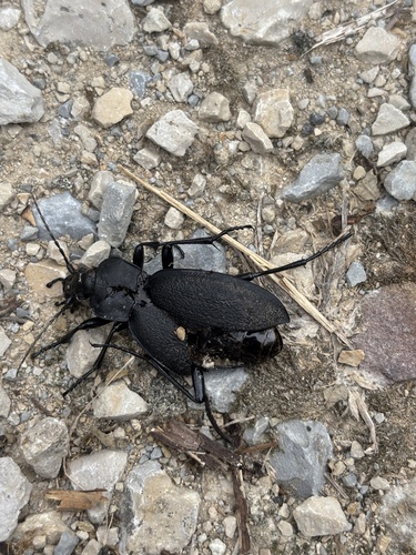
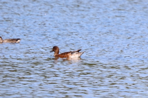
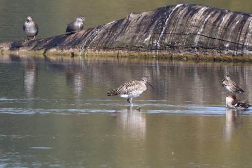
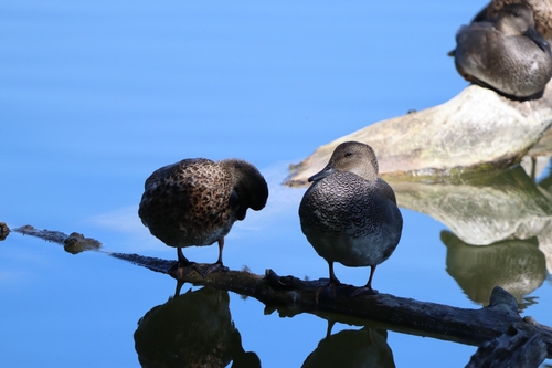
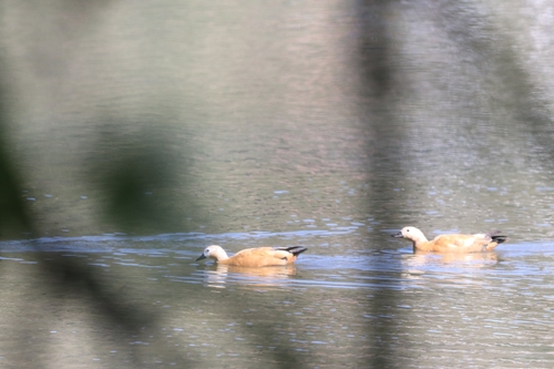
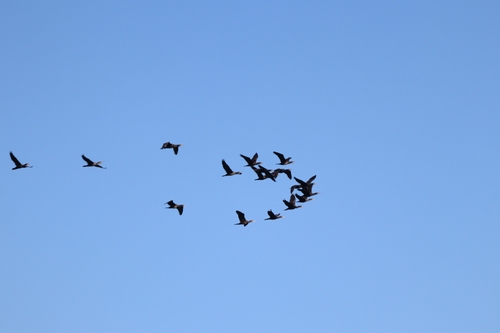
Research-grade observations from iNaturalist (within ~15 mi).
Events
Gallery
Official Identifiers
BFS — Swiss Federal Statistical Office
- BFS-Nr
- 4303
- Population (Wikidata)
- 3,952
- Wikidata
- Q65002
Gemeindenummer via Wikidata P771
Sources
- • Wikipedia
- • Wikidata
- • iNaturalist
- • Open-Meteo / sunrise-sunset.org
- • Wikipedia Pageviews API
- • Open Library
- • Wikidata SPARQL (CC0) — population, area, elevation, inception, head of government, Commons image
- • BFS — Swiss Federal Statistical Office — Gemeindenummer via Wikidata P771