Browse / Switzerland / Aargau / Brugg
Brugg
Aargautown

Brugg
Total population
11,092
Demographic figures from Swiss Federal Statistical Office. Overview below cites Wikipedia and may reference a different year.
City facts
Sister cities
Facts from Wikidata (CC0).
Overview
Brugg is a Swiss municipality and a town in the canton of Aargau and is the seat of the district of the same name. The town is located at the confluence of the Aare, Reuss, and Limmat, with the Aare flowing through its medieval part. It is located approximately 16 kilometers (9.9 mi) from the cantonal capital of Aarau; 28 kilometers (17 mi) from Zürich; and about 45 kilometers (28 mi) from Basel.
Read more on WikipediaHistory & geography
History
Archeological discoveries from the prehistoric era are scant. Two blades and fragments of a stone ax from the early Stone Age as well as a sickle from the Bronze Age are all that have been unearthed. In 58 BC, or shortly thereafter, the Helvetii, who had returned to the Swiss Plateau following the Battle of Bibracte, (re-)founded the settlement of Vindonissa on a hill between the Aare and Reuss on what is today territory of the neighboring community of Windisch. The Romans constructed a military post at Vindonissa around 15 BC, which they expanded into an encampment of a Roman Legion. At this time the first wooden bridge over the Aare was built as part of a Roman road across the Jura mountains to Augusta Raurica (known today as Augst). It was the only position along the Aare between Lake Thun and the Rhine at which the river could be crossed with a single log. Remains of around 350 Roman graves have since been discovered within Brugg, where two large Roman burial grounds were located, and archeologists estimate that a total of 7,000 graves exist. After the invasion of the Alemanni between 259 and 270 AD the Romans converted Vindonissa back into a camp of a Roman Legion, breaking with a 170-year "civilian phase." Around 370 AD the Romans established a fort as part of the Donau-Iller-Rhine-Limes-System in Altenburg. The Romans, though, ultimately withdrew between the years 401 and 406 AD. Settlement of the Alemanni in their stead has been traced to the 7th century. The toponymy is first recorded as Bruggo (Latin) in 1064. In the late 10th century a noble dynasty under Lanzelin, which was possibly related to the Alsatian Etichonids, settled in Altenburg. He expanded the established Roman fort into the Altenburg Castle and made it his seat. Around 1020 Lanzelin's son,…
Geography
The municipality extends for six kilometers (4 mi.) from its southwestern to northeastern boundaries, and is barely wider than one kilometer (2/3 mi.) at its broadest point. The Aare, which flows through the centre of the old town, divides the municipality into two separate, distinct landscapes – the Swiss plateau on the southern bank and the beginnings of the Jura on the northern side. The southwesternmost area of Brugg is primarily a flood plain, known as the Wildischachen, which is located between the Aare and a hill, the Wülpelsberg, upon which the Habsburg castle in the neighboring community of Habsburg was built. Approximately two kilometers (1.25 mi.) further north two separate branches of the Aare come together near the village of Altenburg. In between these two branches, which came into being following the construction of the hydroelectric power station Wildegg-Brugg, is the forested island of Schacheninsel. Following a bend in the river, at which it alters its course from the north to the east, the river enters a 200-meter-long section with a rapids and a (650 ft) gorge. The Aare narrows from its previous width of about to a mere . It is along this gorge that the historic center of Brugg formed near the old bridge, with sections of the old town developing on both banks. Today the southern bank is heavily built up and is composed primarily of residential and industrial buildings, while the northern bank, due to the lack of space at the foot of the Bruggerberg (, is less settled. The Aare broadens again after it exits the gorge and departs the old town, where it flows alongside the Aufeld plain. A majority of the population in this area is concentrated in a small band along the southeastern slope of the Bruggerberg. On the eastern border…
Excerpted from the corresponding Wikipedia article (CC BY-SA).
Geography
Coordinates & boundaries from the US Census TIGER/Line shapefiles.
Climate
10-year averages from ERA5 reanalysis (Open-Meteo).
Air quality
Walkability
Amenities nearby
Wildlife & biodiversity
Most-observed species
- Meadow BrownManiola jurtina (Linnaeus, 1758) · Insecta16,307
- Annual FleabaneErigeron annuus (L.) Pers. · Magnoliopsida12,656
- European roe deerCapreolus capreolus (Linnaeus, 1758) · Mammalia10,984
- Common BluePolyommatus icarus (von Rottemburg, 1775) · Insecta9,081
- Marbled WhiteMelanargia galathea Linnaeus, 1758 · Insecta6,948
- bow-winged grasshopperChorthippus biguttulus (Linnaeus, 1758) · Insecta5,640
- Small HeathCoenonympha pamphilus (Linnaeus, 1758) · Insecta5,511
- red foxVulpes vulpes (Linnaeus, 1758) · Mammalia5,406
Citizen-science & research observations from the Global Biodiversity Information Facility (GBIF).
Earthquake history
Most recent
- M 3.7 — 2026-04-264 km N of Quarten, Switzerland
- M 3.5 — 2024-06-271 km SSW of Todtmoos, Germany
- M 4.2 — 2024-06-042 km NNW of Unteriberg, Switzerland
- M 3.9 — 2022-09-101 km WSW of Zimmersheim, France
- M 4 — 2020-10-255 km ESE of Ennenda, Switzerland
- M 3.1 — 2018-05-042 km W of Schliengen, Germany
Events from the USGS Earthquake Catalog (global) (FDSN Event Web Service).
Photos
Sights & places nearby
Notable people from here


People born within ~10 km, from Wikidata (CC0). Click any name for their Wikipedia article.
Nearby places in Aargau
- Windisch0.5 mi away · pop. 7,636
- Riniken1.3 mi away · pop. 1,478
- Hafen1.6 mi away
- Rüfenach1.8 mi away · pop. 854
- Hinterrein1.9 mi away
- Vorderrein1.9 mi away
- Mülligen2.3 mi away · pop. 1,108
- Ursprung2.4 mi away
- Birmenstorf2.4 mi away · pop. 2,969
- Stilli2.5 mi away · pop. 397
- Oberbözberg2.7 mi away · pop. 505
- Wallbach2.8 mi away
Geography & sun
Elevation, sunrise/sunset and daylight from Open-Meteo. Solar climatology from NASA POWER.
Nearby airports
Public attention
Pageview totals from the Wikimedia Pageviews API.
Books about Brugg
Search results from Open Library.
Recent natural events nearby
Ground air-quality sensors
Recently spotted species
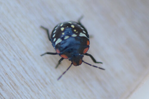
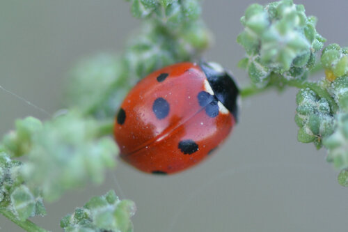
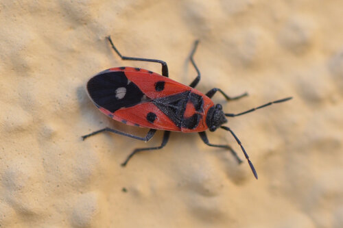
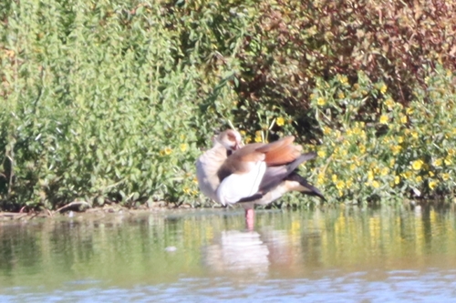
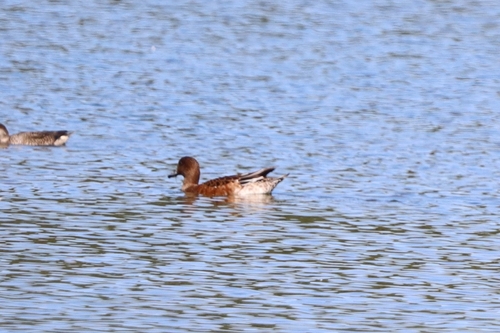
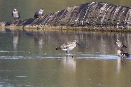
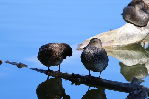
Research-grade observations from iNaturalist (within ~15 mi).
Events
Gallery
Sources
- • Wikipedia
- • Open-Meteo (ERA5 reanalysis)
- • Wikidata
- • USGS Earthquake Catalog (global feed)
- • GBIF (Global Biodiversity Information Facility)
- • iNaturalist
- • Open-Meteo / sunrise-sunset.org
- • Wikipedia Pageviews API
- • Open Library
- • Wikidata SPARQL (CC0) — population, area, elevation, inception, head of government, Commons image