Browse / Switzerland / Schaffhausen / Büttenhardt
Büttenhardt
Schaffhausenvillage

Büttenhardt
Total population
438
Demographic figures from Swiss Federal Statistical Office. Overview below cites Wikipedia and may reference a different year.
City facts
Facts from Wikidata (CC0).
Overview
Büttenhardt is a municipality in the canton of Schaffhausen in Switzerland.
Read more on WikipediaHistory & geography
History
Büttenhardt is first mentioned in 1238 as Butinhart. The territory of the municipality of Büttenhardt today includes territory of Verenahof which formerly belonged to West Germany. Verenahof (also known as Büttenharter Hof or Verenahöfe) was a German exclave in Switzerland, administratively part of the West German town of Wiechs am Randen (which is now part of the town of Tengen). Geographically, it was separated from the rest of West Germany by a 200–300-metre wide strip of Swiss territory. In 1964 a treaty was concluded between West Germany and Switzerland, which entered into force on 4 October 1967. The 43-hectare territory, containing three houses and fewer than a dozen people, became part of Switzerland with the transfer of of West German land parcels (that had administratively been part of the German towns of Konstanz, Öhningen, Rielasingen, Wiechs am Randen, Altenburg, Stühlingen, Weizen and Grimmelshofen) in exchange for the transfer to West Germany of an equal area of Swiss land parcels (which had administratively been part of the Swiss towns of Kreuzlingen, Hemishofen, Büttenhardt, Opfertshofen, and Merishausen). Concurrently the exclave of Büsingen am Hochrhein continued to remain part of Germany administratively and politically and following the land swap involving Verenahof it is now the sole remaining exclave of Germany wholly surrounded by the territory of another country (Switzerland), whilst Verenahof now forms part of the Swiss municipality of Büttenhardt. At the town hall in Wiechs am Randen there are some remaining border markers that became obsolete with the land swap in 1967 whilst in Büttenhardt, at the old school house, some old border markers from the 1930s have been used to frame bushes planted around the former enclave.
Geography
Büttenhardt has an area, , of . Of this area, 48.8% is used for agricultural purposes, while 45.3% is forested. The rest of the land, (6%) is settled. The municipality is located in the Reiat district. It is a farming village located north of Schaffhausen on the rocky Reiatrücken.
Excerpted from the corresponding Wikipedia article (CC BY-SA).
Geography
Coordinates & boundaries from the US Census TIGER/Line shapefiles.
Climate
Air quality
Walkability
Amenities nearby
Wildlife & biodiversity
Earthquake history
Photos
Sights & places nearby
Notable people from here


People born within ~10 km, from Wikidata (CC0). Click any name for their Wikipedia article.
Nearby places in Schaffhausen
- Lohn SH0.8 mi away · pop. 740
- Stetten SH1.3 mi away · pop. 1,292
- Opfertshofen SH1.5 mi away · pop. 141
- Altdorf SH2 mi away · pop. 188
- Merishausen2.1 mi away · pop. 828
- Hofen SH2.1 mi away · pop. 136
- Thayngen2.5 mi away · pop. 5,151
- Barzheim3.2 mi away
- Hemmental3.7 mi away · pop. 513
- Schaffhausen4.2 mi away · pop. 35,927
- Dörflingen4.6 mi away · pop. 907
- Neuhausen am Rheinfall5.4 mi away · pop. 11,834
Geography & sun
Elevation, sunrise/sunset and daylight from Open-Meteo. Solar climatology from NASA POWER.
Nearby airports
Public attention
Pageview totals from the Wikimedia Pageviews API.
Books about Büttenhardt
Search results from Open Library.
Recent natural events nearby
Ground air-quality sensors
Recently spotted species
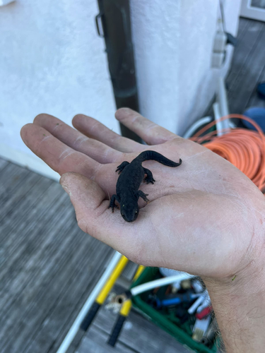
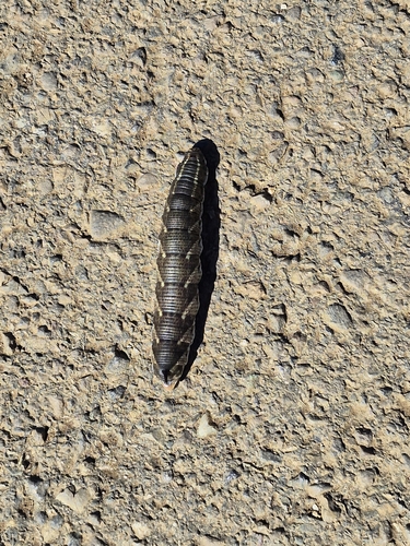
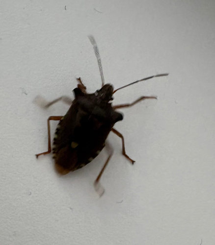
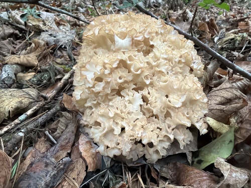
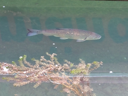
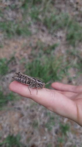
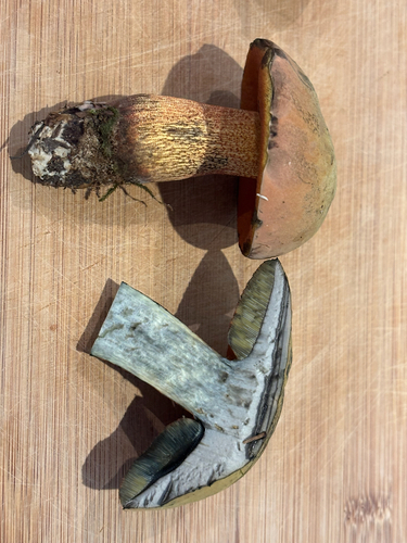
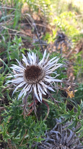
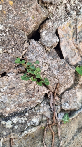
Research-grade observations from iNaturalist (within ~15 mi).
Events
Gallery
Official Identifiers
BFS — Swiss Federal Statistical Office
- BFS-Nr
- 2914
- Population (Wikidata)
- 416
- Wikidata
- Q69128
Gemeindenummer via Wikidata P771
Sources
- • Wikipedia
- • Wikidata
- • iNaturalist
- • Open-Meteo / sunrise-sunset.org
- • Wikipedia Pageviews API
- • Open Library
- • BFS — Swiss Federal Statistical Office — Gemeindenummer via Wikidata P771