Browse / Switzerland / Ticino / Cadenazzo
Cadenazzo
Ticinovillage

Cadenazzo
Total population
2,544
Demographic figures from Swiss Federal Statistical Office. Overview below cites Wikipedia and may reference a different year.
City facts
Facts from Wikidata (CC0).
Overview
Cadenazzo is a municipality in the district of Bellinzona, in the canton of Ticino in Switzerland. On 13 March 2005 the formerly independent municipality of Robasacco was absorbed into Cadenazzo.
Read more on WikipediaHistory & geography
History
Cadenazzo is first mentioned in 1335 as Catenacii, when the hospitallis de Cadenazio was mentioned. The existence of a medieval castle is in doubt. The collegiate church of San Pietro in Bellinzona owned part of the village by 1438. The chapel of S. Pietro Martire in Cadenazzo may have been built in the 13th century, but the earliest mention of the chapel is from 1363. However, the chapel has not survived into the modern era and its location is unknown. In 1442, Cadenazzo separated from the mother church of Bellinzona joined the parish of the neighboring village of S. Antonino. They remained part of a joint parish until 1830. Agriculture, once dominant, but not very profitable, is still common in the Magadino valley. Crop yields increased after the correction of Ticino river. Since 1973, Cadenazzo has been home to a branch of the Swiss Federal Research Station for Agroecology and Agriculture. Due to some industrial enterprises, shops and warehouses in the vicinity of the train station, Cadenazzo draw commuters from surrounding communities.
Geography
Cadenazzo has an area, , of . Of this area, or 29.5% is used for agricultural purposes, while or 24.5% is forested. Of the rest of the land, or 14.9% is settled (buildings or roads), or 1.3% is either rivers or lakes and or 1.2% is unproductive land. Of the built up area, industrial buildings made up 3.7% of the total area while housing and buildings made up 4.9% and transportation infrastructure made up 5.1%. Out of the forested land, 22.8% of the total land area is heavily forested and 1.1% is covered with orchards or small clusters of trees. Of the agricultural land, 20.8% is used for growing crops, while 3.8% is used for orchards or vine crops and 4.9% is used for alpine pastures. All the water in the municipality is flowing water. Of the unproductive areas, 1.1% is unproductive vegetation. The municipality is located in the Bellinzona district, along a road along the north foot of the Monte Ceneri.
Excerpted from the corresponding Wikipedia article (CC BY-SA).
Geography
Coordinates & boundaries from the US Census TIGER/Line shapefiles.
Climate
Air quality
Walkability
Amenities nearby
Wildlife & biodiversity
Earthquake history
Photos
Sights & places nearby
Notable people from here


People born within ~10 km, from Wikidata (CC0). Click any name for their Wikipedia article.
Nearby places in Ticino
- Sant'Antonino1.4 mi away · pop. 2,310
- Gudo1.7 mi away · pop. 839
- Cugnasco2.1 mi away · pop. 1,376
- Cugnasco-Gerra2.3 mi away · pop. 2,898
- Quartino2.4 mi away
- Isone2.4 mi away · pop. 385
- Gerra Piano2.5 mi away
- Bironico2.7 mi away · pop. 617
- Sementina3.1 mi away · pop. 3,217
- Camignolo3.2 mi away · pop. 740
- Monte Carasso3.6 mi away · pop. 2,872
- Giubiasco3.6 mi away · pop. 8,751
Geography & sun
Elevation, sunrise/sunset and daylight from Open-Meteo. Solar climatology from NASA POWER.
Nearby airports
Public attention
Pageview totals from the Wikimedia Pageviews API.
Books about this place
Recent natural events nearby
Ground air-quality sensors
Recently spotted species
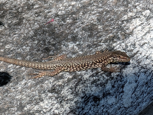
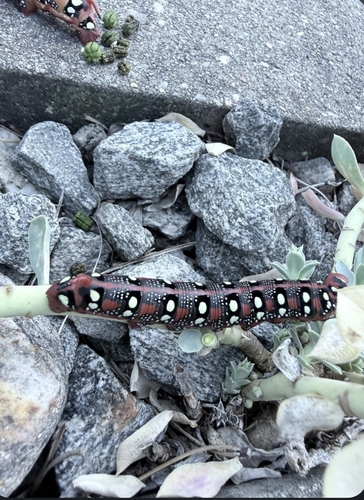
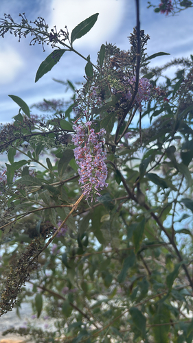
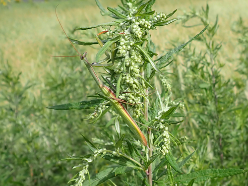
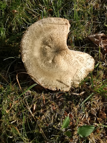
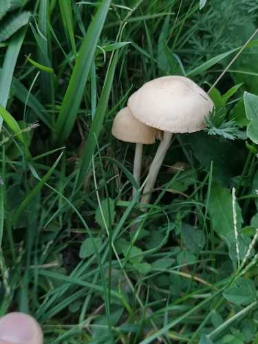
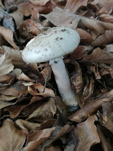
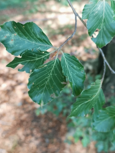
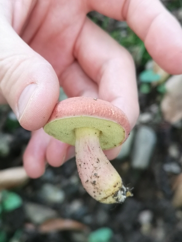
Research-grade observations from iNaturalist (within ~15 mi).
Events
Gallery
Official Identifiers
BFS — Swiss Federal Statistical Office
- BFS-Nr
- 5003
- Population (Wikidata)
- 2,952
- Wikidata
- Q69790
Gemeindenummer via Wikidata P771
Sources
- • Wikipedia
- • Wikidata
- • iNaturalist
- • Open-Elevation
- • Open-Meteo / sunrise-sunset.org
- • Wikipedia Pageviews API
- • Wikidata SPARQL (CC0) — population, area, elevation, inception, head of government, Commons image
- • BFS — Swiss Federal Statistical Office — Gemeindenummer via Wikidata P771