Browse / Switzerland / Ticino / Caslano
Caslano
Ticinovillage

Caslano
Total population
4,256
Demographic figures from Swiss Federal Statistical Office. Overview below cites Wikipedia and may reference a different year.
City facts
Facts from Wikidata (CC0).
Overview
Caslano is a municipality in the district of Lugano in the Swiss canton of Ticino, near to the Italian border.
Read more on WikipediaHistory & geography
History
The center of the village is built within a Roman era fortification. While no trace of the actual fortification still exists, local tradition, the use of Castellano in place names and the compact structure of the once walled enclosure all indicate that the fortress existed. The hamlet of Torrazza was the source of bitter fighting between the Swiss Confederation and the Duchy of Milan. In 1604, the Treaty of Varese decided against the Italian municipality of Lavena Ponte Tresa and finally awarded it to Caslano. The parish church was built in 1653, incorporating an older building. The pre-industrial economy was based on fisheries, mines and kilns for lime and clay, transport by sea, agriculture and by remittances from emigrants. The local wealth is shown in the quality of the buildings in the village and in the neighboring towns of Pura and Collina d'Oro. After World War II, the traditional occupations lost their importance. Agriculture became less common, fisheries disappeared and the mines and furnaces were shut down. Other hand, tourism (hotels, restaurants, vacation homes, second homes), industry, trade and commerce all grew and led to a huge influx of commuters. Construction began throughout the village, and it grew into a tourist destination with a number of suburbs.
Geography
Caslano has an area, , of . Of this area, or 37.0% is used for agricultural purposes, while or 38.7% is forested. Of the rest of the land, or 47.9% is settled (buildings or roads), or 2.5% is either rivers or lakes and or 1.1% is unproductive land. Of the built up area, industrial buildings made up 3.2% of the total area while housing and buildings made up 29.2% and transportation infrastructure made up 4.9%. while parks, green belts and sports fields made up 10.2%. Out of the forested land, 37.7% of the total land area is heavily forested and 1.1% is covered with orchards or small clusters of trees. Of the agricultural land, 6.3% is used for growing crops, while 1.4% is used for orchards or vine crops and 29.2% is used for alpine pastures. Of the water in the municipality, 1.8% is in lakes and 0.7% is in rivers and streams. The municipality is located in the Lugano district, along the right bank of the mouth of the Magliasina river in Lake Lugano. It consists of the village of Caslano and the hamlets of Magliasina and Torrazza.
Excerpted from the corresponding Wikipedia article (CC BY-SA).
Geography
Coordinates & boundaries from the US Census TIGER/Line shapefiles.
Climate
Air quality
Walkability
Amenities nearby
Wildlife & biodiversity
Earthquake history
Photos
Sights & places nearby
Notable people from here


People born within ~10 km, from Wikidata (CC0). Click any name for their Wikipedia article.
Nearby places in Ticino
- Carabietta0.8 mi away · pop. 100
- Neggio1.1 mi away · pop. 335
- Ponte Tresa1.2 mi away · pop. 806
- Agra1.5 mi away
- Barbengo1.6 mi away · pop. 2,193
- Purasca1.6 mi away
- Vernate1.7 mi away · pop. 586
- Montagnola1.9 mi away
- Croglio2.3 mi away · pop. 877
- Carabbia2.6 mi away · pop. 606
- Muzzano2.6 mi away · pop. 844
- Carona2.7 mi away · pop. 681
Geography & sun
Elevation, sunrise/sunset and daylight from Open-Meteo. Solar climatology from NASA POWER.
Nearby airports
Public attention
Pageview totals from the Wikimedia Pageviews API.
Books about this place
Recent natural events nearby
Ground air-quality sensors
Recently spotted species
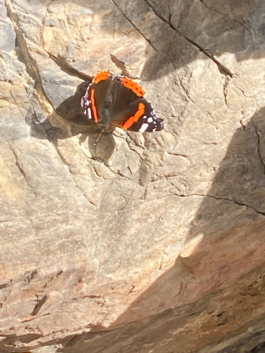
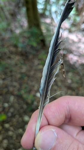
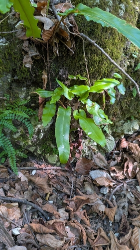
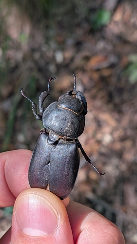
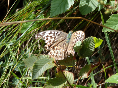
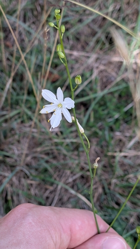
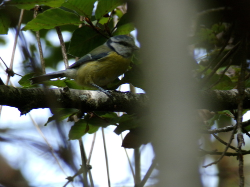
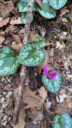
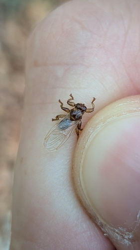
Research-grade observations from iNaturalist (within ~15 mi).
Events
Gallery
Official Identifiers
BFS — Swiss Federal Statistical Office
- BFS-Nr
- 5171
- Population (Wikidata)
- 4,330
- Wikidata
- Q67270
Gemeindenummer via Wikidata P771
Sources
- • Wikipedia
- • Wikidata
- • iNaturalist
- • Open-Meteo / sunrise-sunset.org
- • Wikipedia Pageviews API
- • Wikidata SPARQL (CC0) — population, area, elevation, inception, head of government, Commons image
- • BFS — Swiss Federal Statistical Office — Gemeindenummer via Wikidata P771