Browse / Switzerland / Geneva / Chêne-Bougeries
Chêne-Bougeries
Genevatown

Chêne-Bougeries
Total population
10,642
Demographic figures from Swiss Federal Statistical Office. Overview below cites Wikipedia and may reference a different year.
City facts
Facts from Wikidata (CC0).
Overview
Chêne-Bougeries is a municipality in the Canton of Geneva, Switzerland.
Read more on WikipediaHistory & geography
History
Chêne-Bougeries is first mentioned in 1270 as Quercus. In 1801 it was mentioned as Chêne-les-Bougeries. Chêne-Bougeries was inhabited for most of its history, and neither the Romans nor the Genevans settled there. An important concern for the Genevans was the leprosy hospital that occupied part of the commune; it is only when this illness was defeated around the 16th century that Chêne-Bougeries really started to develop. During the French Revolution the territory was occupied by the French. In 1798 the commune was forced to merge with the neighbouring communes of Chêne-Thônex and Chêne-Bourg to create a new entity, the Trois-Chêne. In 1801, however, it was able to regain the autonomous commune status, while Chêne-Thônex and Chêne-Bourg remained unified. In 1816, Chêne-Bougeries, as many of other neighboring communes, became part of a newly Swiss Geneva. Incidentally, Chêne-Thônex was subsequently called Thônex when dissensions led to a new separation with Chêne-Bourg in 1869. The three communes are still referred today as Trois-Chêne and close ties are still in place. Work on social security, medical assistance, cultural offerings and sport infrastructure, to name a few, are operated in close cooperation between the three. While it used to be an agricultural commune for most of its history, Chêne-Bougeries, due to its close position to the city of Geneva, became essentially residential, attracting middle to very high revenue families.
Geography
Chêne-Bougeries has an area, , of . Of this area, or 10.2% is used for agricultural purposes, while or 5.8% is forested. Of the rest of the land, or 83.3% is settled (buildings or roads), or 1.0% is either rivers or lakes. Of the built up area, housing and buildings made up 66.8% and transportation infrastructure made up 11.6%. while parks, green belts and sports fields made up 3.9%. Out of the forested land, 3.4% of the total land area is heavily forested and 2.4% is covered with orchards or small clusters of trees. Of the agricultural land, 5.1% is used for growing crops and 2.9% is pastures, while 2.2% is used for orchards or vine crops. All the water in the municipality is flowing water.
Excerpted from the corresponding Wikipedia article (CC BY-SA).
Geography
Coordinates & boundaries from the US Census TIGER/Line shapefiles.
Climate
Air quality
Walkability
Amenities nearby
Wildlife & biodiversity
Most-observed species
- Eurasian CootFulica atra Linnaeus, 1758 · Aves6,274
- Yellow-legged hornetVespa velutina Lepeletier, 1836 · Insecta5,875
- House SparrowPasser domesticus (Linnaeus, 1758) · Aves5,471
- Carrion CrowCorvus corone Linnaeus, 1758 · Aves5,334
- Common Wood-PigeonColumba palumbus Linnaeus, 1758 · Aves5,274
- MallardAnas platyrhynchos Linnaeus, 1758 · Aves5,209
- red foxVulpes vulpes (Linnaeus, 1758) · Mammalia4,887
- Eurasian BlackbirdTurdus merula Linnaeus, 1758 · Aves4,856
Citizen-science & research observations from the Global Biodiversity Information Facility (GBIF).
Earthquake history
Most recent
- M 3.6 — 2026-01-124 km SSW of Les Houches, France
- M 3.3 — 2025-05-068 km W of Chapareillan, France
- M 3.2 — 2024-05-099 km SW of Evolène, Switzerland
- M 3.3 — 2022-09-257 km ESE of Ar?ches-la-Frasse, France
- M 4.5 — 2022-03-123 km S of Faverges, France
- M 4.1 — 2021-10-0510 km SSW of Evolène, Switzerland
Events from the USGS Earthquake Catalog (global) (FDSN Event Web Service).
Photos
Sights & places nearby
Notable people from here
Nearby places in Geneva
Geography & sun
Elevation, sunrise/sunset and daylight from Open-Meteo. Solar climatology from NASA POWER.
Nearby airports
Public attention
Pageview totals from the Wikimedia Pageviews API.
Books about this place
Recent natural events nearby
Ground air-quality sensors
Recently spotted species
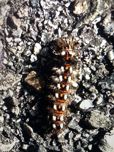
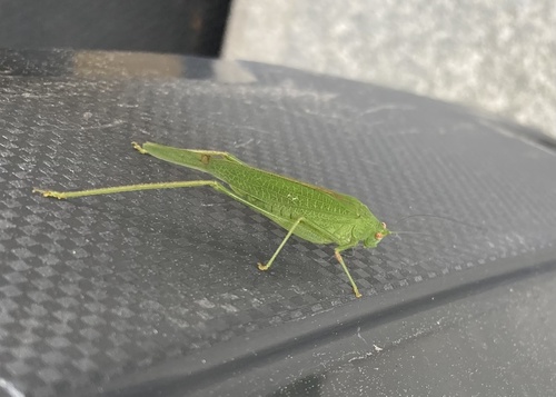
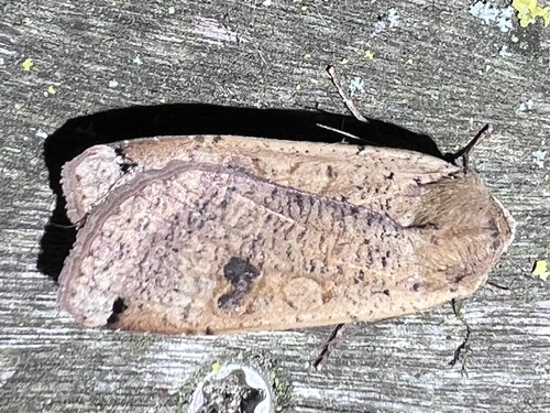
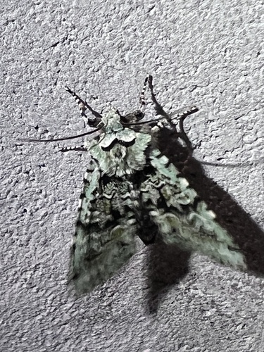
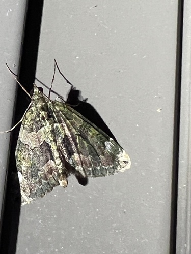
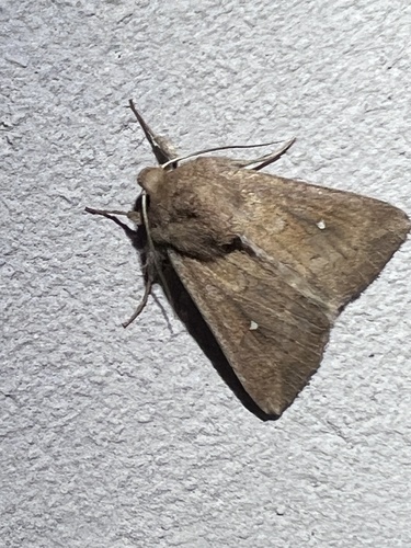
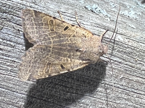
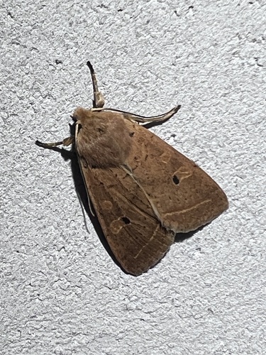
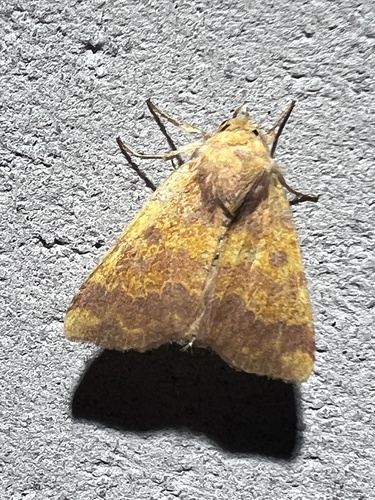
Research-grade observations from iNaturalist (within ~15 mi).
Events
Gallery
Official Identifiers
BFS — Swiss Federal Statistical Office
- BFS-Nr
- 6612
- Population (Wikidata)
- 12,215
- Wikidata
- Q69530
Gemeindenummer via Wikidata P771
Sources
- • Wikipedia
- • Wikidata
- • USGS Earthquake Catalog (global feed)
- • GBIF (Global Biodiversity Information Facility)
- • iNaturalist
- • Open-Meteo / sunrise-sunset.org
- • Wikipedia Pageviews API
- • Wikidata SPARQL (CC0) — population, area, elevation, inception, head of government, Commons image
- • BFS — Swiss Federal Statistical Office — Gemeindenummer via Wikidata P771