Browse / Switzerland / Vaud / Chexbres
Chexbres
Vaudvillage

Chexbres
Total population
2,187
Air quality index
Demographic figures from Swiss Federal Statistical Office. Overview below cites Wikipedia and may reference a different year.
City facts
Facts from Wikidata (CC0).
Overview
Chexbres is a municipality in the Swiss canton of Vaud, located in the district of Lavaux-Oron. Chexbres is a wine-growing village and enjoys a good selection of local vintages. It also enjoys notable views of Lake Geneva, and therefore is nicknamed "Balcon du Léman" in French.
Read more on WikipediaHistory & geography
History
The municipality of Chexbres was already inhabited in Roman times, and a single wall remains and coins have been found. The first written mention of the place appeared in 1139 under the name Chexbres. In the ensuing period many other names: Chibriacum (1100), Chabris (1134), Chabre (1142), Cabarissa (1145), Cerbre (1147), Chebra (1165), Chabrii (1179), Chabre (1221), Chaibri (1248), Chaibry (1368), Chebry (1453), Cheibri (1454) and even to 1562, both Chaybres and Cheybres appeared. The origin of the name is not clearly understood. It could be derived from the Roman personal names Cabrius, from the Gallic words Caebre (meaning city on a hill) or from Cabus (hemp). The area around Chexbres was owned from the 6th century by the abbey of Saint Maurice and in 978 came under the Kingdom of Burgundy. In 1079 King Henry IV gave the village and lands to the bishop of Lausanne. With the conquest of Vaud by Bern in 1536, Chexbres came under the administration of the Bailiwick of Lausanne. After the collapse of the ancien régime, the village belonged from 1798 to 1803 during the Helvetic Republic to the Canton of Léman, and later the Canton of Vaud. In 1798 the village was assigned to the district of Lavaux and until 1810 was part of the greater community of Saint-Saphorin within this district. It was only after 1810 that it became a politically independent municipality. Thanks to its scenic location, the village developed during the 19th century into a resort.
Geography
Chexbres is located at above sea level, east-southeast of the capital of the canton of Lausanne (as the crow flies). The village covers an area east of the Forestay river, in Lavaux, a scenic location about above the lake level of Lake Geneva. The community itself has no direct lake access, but extends to the east of the Château de Glérolles almost to the shores of Lake Geneva. Crêt Bérard at above sea level is the highest point of Chexbres. To the west, the area extends beyond the valleys of the Forestay on the hill of Le Signal at up to above sea level. Chexbres includes the hamlet of Le Monte Iller at above sea level on the slope below the village, amid the vineyards and a number of farms. Chexbres is bordered by Rivaz, Puidoux and Saint-Saphorin (Lavaux). Chexbres has an area, , of . Of this area, or 51.4% is used for agricultural purposes, while or 16.4% is forested. Of the rest of the land, or 32.7% is settled (buildings or roads) and or 0.5% is unproductive land. Of the built up area, housing and buildings made up 15.9% and transportation infrastructure made up 15.4%. Out of the forested land, 10.7% of the total land area is heavily forested and 5.6% is covered with orchards or small clusters of trees. Of the agricultural land, 9.8% is used for growing crops and 24.8% is pastures, while 16.8% is used for orchards or vine crops.
Excerpted from the corresponding Wikipedia article (CC BY-SA).
Geography
Coordinates & boundaries from the US Census TIGER/Line shapefiles.
Climate
10-year averages from ERA5 reanalysis (Open-Meteo).
Air quality
Current readings from Open-Meteo Air Quality API (Copernicus CAMS European reanalysis).
Walkability
Amenities nearby
Wildlife & biodiversity
Most-observed species
- Yellow-legged hornetVespa velutina Lepeletier, 1836 · Insecta6,331
- Meadow BrownManiola jurtina (Linnaeus, 1758) · Insecta5,239
- Eurasian beaverCastor fiber Linnaeus, 1758 · Mammalia4,853
- European roe deerCapreolus capreolus (Linnaeus, 1758) · Mammalia2,920
- common frogRana temporaria Linnaeus, 1758 · Amphibia2,653
- red foxVulpes vulpes (Linnaeus, 1758) · Mammalia2,394
- Red AdmiralVanessa atalanta (Linnaeus, 1758) · Insecta2,380
- Marbled WhiteMelanargia galathea Linnaeus, 1758 · Insecta2,275
Citizen-science & research observations from the Global Biodiversity Information Facility (GBIF).
Earthquake history
Most recent
- M 3.6 — 2026-01-124 km SSW of Les Houches, France
- M 4.1 — 2025-07-214 km E of Frutigen, Switzerland
- M 3.2 — 2024-05-099 km SW of Evolène, Switzerland
- M 3.3 — 2022-09-257 km ESE of Ar?ches-la-Frasse, France
- M 2.7 — 2022-08-234 km S of Turtmann, Switzerland
- M 4.5 — 2022-03-123 km S of Faverges, France
Events from the USGS Earthquake Catalog (global) (FDSN Event Web Service).
Photos
Sights & places nearby
Notable people from here


People born within ~10 km, from Wikidata (CC0). Click any name for their Wikipedia article.
Nearby places in Vaud
- Rivaz0.3 mi away · pop. 353
- Saint-Saphorin0.9 mi away · pop. 377
- Puidoux1.4 mi away · pop. 2,811
- Epesses1.7 mi away · pop. 332
- Chardonne2.2 mi away · pop. 2,818
- Riex2.3 mi away · pop. 269
- Corseaux2.5 mi away · pop. 2,131
- Cully2.5 mi away · pop. 1,785
- Jongny2.9 mi away · pop. 1,472
- Corsier3.1 mi away · pop. 3,409
- Grandvaux3.2 mi away · pop. 1,985
- Vevey3.3 mi away
Geography & sun
Elevation, sunrise/sunset and daylight from Open-Meteo. Solar climatology from NASA POWER.
Nearby airports
Public attention
Pageview totals from the Wikimedia Pageviews API.
Books about this place
Recent natural events nearby
Ground air-quality sensors
Recently spotted species
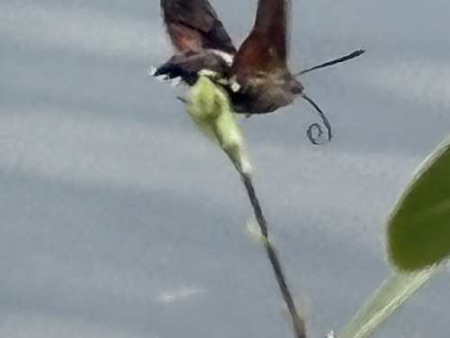
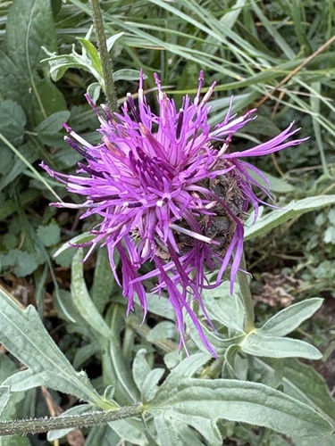
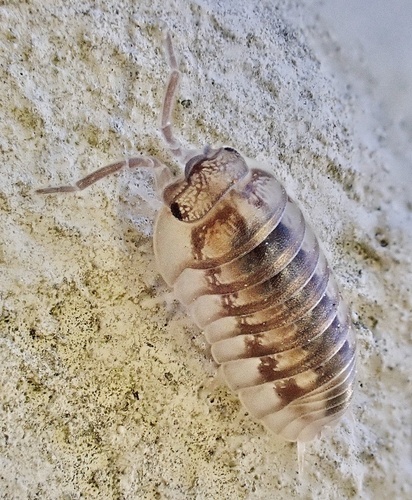
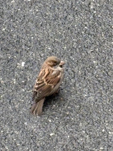
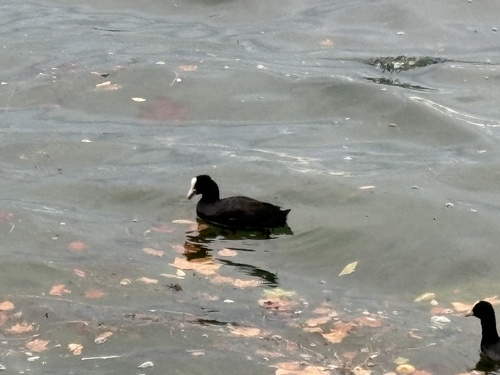
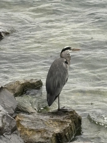
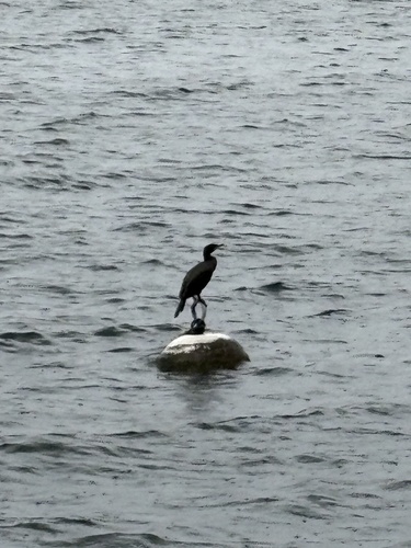
Research-grade observations from iNaturalist (within ~15 mi).
Events
Gallery
Official Identifiers
BFS — Swiss Federal Statistical Office
- BFS-Nr
- 5601
- Population (Wikidata)
- 521
- Wikidata
- Q52818
Gemeindenummer via Wikidata P771
Sources
- • Wikipedia
- • Open-Meteo (ERA5 reanalysis)
- • Wikidata
- • Open-Meteo Air Quality (CAMS)
- • USGS Earthquake Catalog (global feed)
- • GBIF (Global Biodiversity Information Facility)
- • iNaturalist
- • Open-Elevation
- • Open-Meteo / sunrise-sunset.org
- • Wikipedia Pageviews API
- • Wikidata SPARQL (CC0) — population, area, elevation, inception, head of government, Commons image
- • BFS — Swiss Federal Statistical Office — Gemeindenummer via Wikidata P771