Browse / Switzerland / Bern / Courtelary
Courtelary
Bernvillage

Courtelary
Total population
1,290
Demographic figures from Swiss Federal Statistical Office. Overview below cites Wikipedia and may reference a different year.
City facts
Facts from Wikidata (CC0).
Overview
Courtelary is a municipality of the French-speaking Bernese Jura, in the canton of Bern in Switzerland. The town is the capital of the Jura bernois administrative district.
Read more on WikipediaHistory & geography
History
Courtelary is first mentioned in 968 as Curtis Alerici in a list of the properties of Moutier-Grandval Abbey. In 1179, Pope Alexander III elevated the Abbot to a Canon and confirmed the Abbots title to Courtelary. In 1733 a meeting at the Courtelary Castle exploded into a riot and the Prince-Bishop's bailiff, Benoît-Aimé Mestrezat, was forced to flee the city. In 1792 and 1793, heavily influenced by the French Revolution, the revolutionary National Assembly of Erguel was established in Courtelary. Revolutionaries flocked to the town and established a short-lived Republic of Erguel. In 1797 the French invaded the lands of the Bishop of Basel and established the Canton of Courtelary with Courtelary as the capital. The Canton was initially part of the Department of Mont-Terrible followed by the Department of Haut-Rhin. After Napoleon's defeat, in 1815, the Erguel region became part of the Canton of Bern. Courtelary was the capital of the District of Erguel until 1831 when it became the capital of the District of Courtelary. Courtelary remained a rural and agricultural town until the early 20th Century. The farms on the valley floor produced grain for local use. In contrast, the surrounding mountain pastures were used by Anabaptist sharecroppers to raise dairy cattle and other livestock. They then produced butter and cheese which they exported. In 1874 the Biel-Les Convers-La Chaux-de-Fonds railroad was built through the town. The lower transportation costs from the railroad allowed a wood pulp factory to be built in Courtelary. In 1935, the Camille Bloch chocolate factory moved into the old wood pulp building. Other than the chocolate factory, manufacturing developed very slowly in Courtelary. A few precision machine and watch parts factories were built…
Geography
Courtelary has an area of . Of this area, or 51.4% is used for agricultural purposes, while or 43.6% is forested. Of the rest of the land, or 4.5% is settled (buildings or roads), or 0.1% is either rivers or lakes and or 0.1% is unproductive land. Of the built up area, housing and buildings made up 1.9% and transportation infrastructure made up 1.9%. Out of the forested land, 37.8% of the total land area is heavily forested and 5.8% is covered with orchards or small clusters of trees. Of the agricultural land, 11.7% is used for growing crops and 13.1% is pastures and 26.3% is used for alpine pastures. All the water in the municipality is flowing water.
Excerpted from the corresponding Wikipedia article (CC BY-SA).
Geography
Coordinates & boundaries from the US Census TIGER/Line shapefiles.
Climate
Air quality
Walkability
Amenities nearby
Wildlife & biodiversity
Earthquake history
Photos
Sights & places nearby
Notable people from here
Geography & sun
Elevation, sunrise/sunset and daylight from Open-Meteo. Solar climatology from NASA POWER.
Nearby airports
Public attention
Pageview totals from the Wikimedia Pageviews API.
Books about this place
Recent natural events nearby
Ground air-quality sensors
Recently spotted species
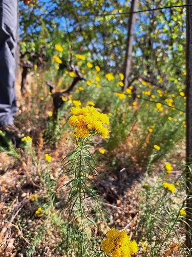
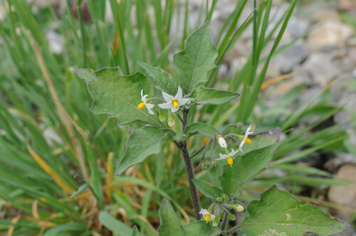
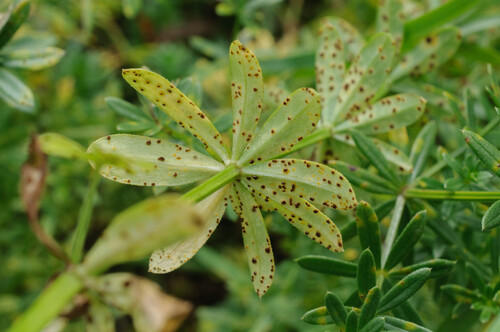
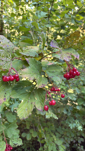
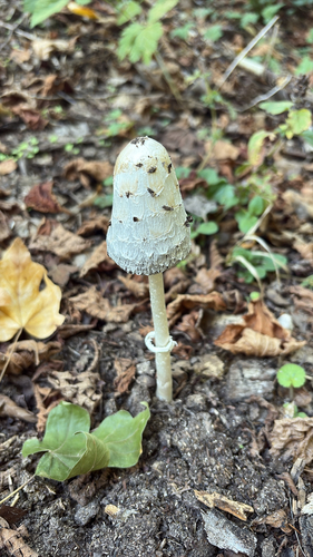
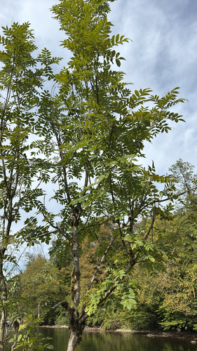
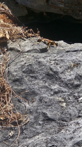
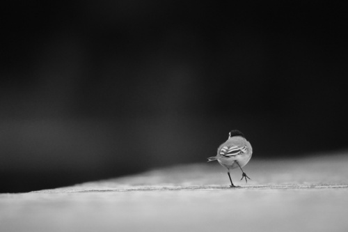
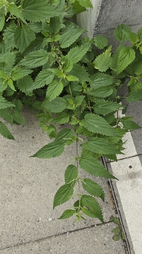
Research-grade observations from iNaturalist (within ~15 mi).
Events
Gallery
Official Identifiers
BFS — Swiss Federal Statistical Office
- BFS-Nr
- 434
- Population (Wikidata)
- 1,437
- Wikidata
- Q65649
Gemeindenummer via Wikidata P771
Sources
- • Wikipedia
- • Wikidata
- • iNaturalist
- • Open-Meteo / sunrise-sunset.org
- • Wikipedia Pageviews API
- • Wikidata SPARQL (CC0) — population, area, elevation, inception, head of government, Commons image
- • BFS — Swiss Federal Statistical Office — Gemeindenummer via Wikidata P771