Browse / Switzerland / Valais / Crans
Crans
Valaisvillage

Crans
Demographic figures from Swiss Federal Statistical Office. Overview below cites Wikipedia and may reference a different year.
City facts
Overview
Crans-Montana is a municipality and ski resort in the predominantly French-speaking district of Sierre in the canton of Valais, Switzerland. The municipality was formed through the merger of Chermignon, Mollens, Montana and Randogne municipalities on 1 January 2017. The ski resort Crans-Montana was created through the fusion of the two centres of Crans and Montana, and is split between three municipalities, namely Crans-Montana, Icogne, and Lens.
Read more on WikipediaHistory & geography
History
Chermignon is first mentioned in 1228 as Chermenon and Chirminon. It became an independent municipality in 1905 when it separated from Lens. Mollens is first mentioned about 1250 as Molaen. In 1286 it was mentioned as Moleing. The municipality was formerly known by its German name Molei; however, that name is no longer used. Montana is first mentioned in 1243 as Montana. In 1905 it separated from Lens to form an independent municipality. During the night of to , at around a.m., a fire at the Le Constellation bar killed 41 people (including many underage individuals) and injured 115, most of them suffering severe burns.
Geography
Crans-Montana has an area, , of . Before the 2017 merger, the territory of present-day Crans-Montana was divided among the former municipalities of Chermignon, Mollens, Montana (Valais) and Randogne. Several settlements and resort areas extended across the boundaries of more than one of these municipalities. The former municipality of Chermignon comprised Ollon, Chermignon-d'en-Bas, Chermignon-d'en-Haut and part of the Crans-sur-Sierre resort. The hamlet of Champzabé was historically divided between Chermignon, Montana and Sierre. The former municipality of Mollens included Mollens, Cordona, Conzor, Laques, Saint-Maurice-de-Laques and the high-altitude resort of Aminona. The former municipality of Montana (Valais) included Montana-Village, Corin and part of Champzabé, while Diogne was divided between Montana and Chermignon. Montana-Vermala developed across the territories of Montana and the former municipality of Randogne. The former municipality of Randogne comprised the village of Randogne together with Loc, part of Darnona, Bluche, most of Montana-Vermala and Montana-Station.
Excerpted from the corresponding Wikipedia article (CC BY-SA).
Geography
Coordinates & boundaries from the US Census TIGER/Line shapefiles.
Climate
Air quality
Walkability
Amenities nearby
Wildlife & biodiversity
Most-observed species
- False-acaciaRobinia pseudoacacia L. · Magnoliopsida5,993
- Canadian GoldenrodSolidago canadensis L. · Magnoliopsida3,838
- Marbled WhiteMelanargia galathea Linnaeus, 1758 · Insecta3,443
- Warty CabbageBunias orientalis L. · Magnoliopsida3,234
- Small TortoiseshellAglais urticae (Linnaeus, 1758) · Insecta3,171
- red deerCervus elaphus Linnaeus, 1758 · Mammalia3,077
- Swiss Brassy RingletErebia tyndarus Esper, 1777 · Insecta2,636
- Common BluePolyommatus icarus (von Rottemburg, 1775) · Insecta2,540
Citizen-science & research observations from the Global Biodiversity Information Facility (GBIF).
Earthquake history
Most recent
- M 3.6 — 2026-01-124 km SSW of Les Houches, France
- M 4.1 — 2025-07-214 km E of Frutigen, Switzerland
- M 3.2 — 2024-05-099 km SW of Evolène, Switzerland
- M 3.3 — 2022-09-257 km ESE of Ar?ches-la-Frasse, France
- M 2.7 — 2022-08-234 km S of Turtmann, Switzerland
- M 4.1 — 2021-10-0510 km SSW of Evolène, Switzerland
Events from the USGS Earthquake Catalog (global) (FDSN Event Web Service).
Photos
Sights & places nearby
Notable people from here
Geography & sun
Elevation, sunrise/sunset and daylight from Open-Meteo. Solar climatology from NASA POWER.
Nearby airports
Public attention
Pageview totals from the Wikimedia Pageviews API.
Books about Crans




Search results from Open Library.
Recent natural events nearby
Ground air-quality sensors
Recently spotted species
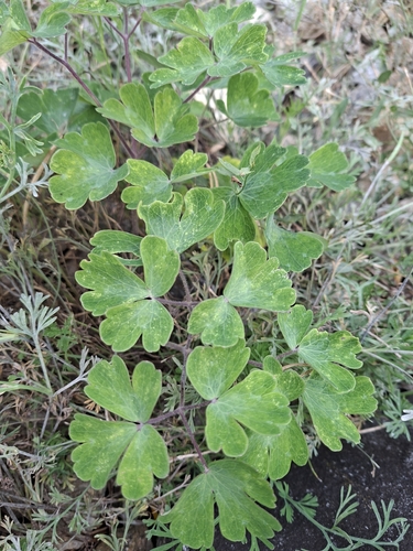
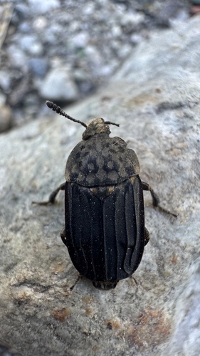
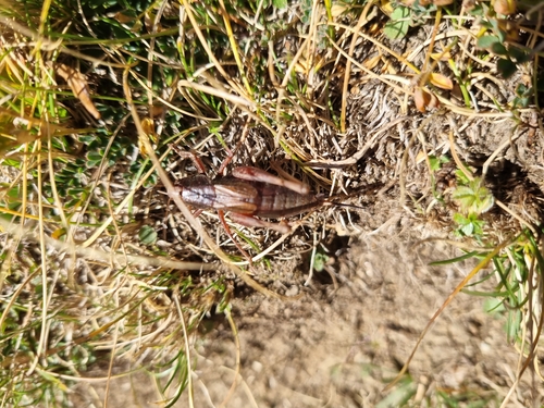
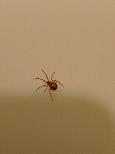
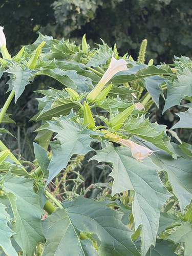
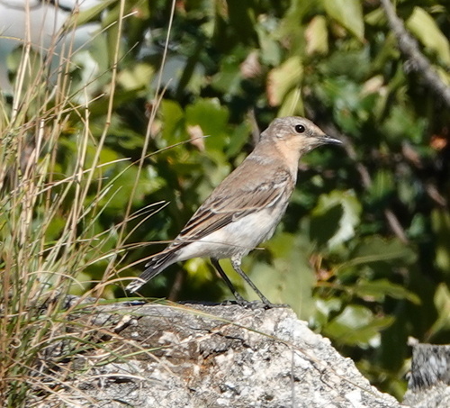
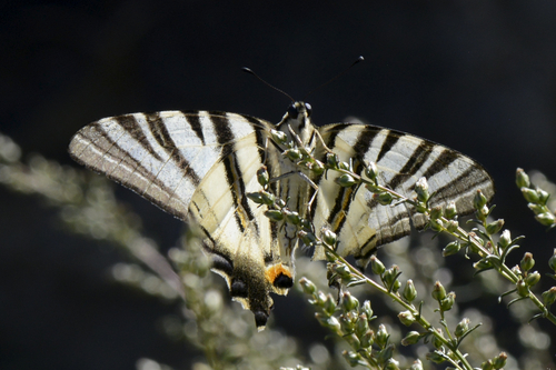
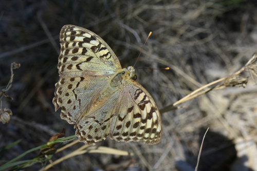
Research-grade observations from iNaturalist (within ~15 mi).
Events
Gallery
Official Identifiers
BFS — Swiss Federal Statistical Office
- BFS-Nr
- 5713
- Population (Wikidata)
- 2,186
- Wikidata
- Q57115
Gemeindenummer via Wikidata P771
Sources
- • Wikipedia
- • USGS Earthquake Catalog (global feed)
- • GBIF (Global Biodiversity Information Facility)
- • iNaturalist
- • Open-Meteo / sunrise-sunset.org
- • Wikipedia Pageviews API
- • Open Library
- • BFS — Swiss Federal Statistical Office — Gemeindenummer via Wikidata P771