Browse / Switzerland / Bern / Diemerswil
Diemerswil
Bernvillage
Demographic figures from Swiss Federal Statistical Office. Overview below cites Wikipedia and may reference a different year.
City facts
Facts from Wikidata (CC0).
Overview
Diemerswil is a former municipality in the Bern-Mittelland administrative district in the canton of Bern in Switzerland. On 1 January 2023 the former municipality of Diemerswil merged to form the municipality of Münchenbuchsee.
Read more on WikipediaHistory & geography
History
Diemerswil is first mentioned in 1257 as Diemarswile. The earliest trace of people in the area is a Hallstatt culture grave mound with a cart or wagon, in the Brandwald. During the Middle Ages it belonged to the Herrschaft, court and parish of the Münchenbuchsee Commandery. After the Commandery was secularized in 1528, the village became part of the Bernese bailiwick of Münchenbuchsee. In 1803 it became part of the district of Fraubrunnen. During the 19th century, many of local farmers began to raise dairy cattle instead of or in addition to their traditional crops. The village school was built in 1827, but students still have to travel to Münchenbuchsee for secondary school. The so-called Schloss, an elegant country manor house, was demolished in 1969. The village has remained generally rural and agricultural. In 2000 almost half of all working residents worked in agriculture. At the same time about half the residents commuted for work in other communities, especially Bern.
Geography
Diemerswil has an area of . Of this area, or 72.7% is used for agricultural purposes, while or 19.6% is forested. Of the rest of the land, or 5.9% is settled (buildings or roads). Of the built up area, housing and buildings made up 2.4% and transportation infrastructure made up 3.1%. Out of the forested land, all of the forested land area is covered with heavy forests. Of the agricultural land, 58.4% is used for growing crops and 11.9% is pastures, while 2.4% is used for orchards or vine crops.
Excerpted from the corresponding Wikipedia article (CC BY-SA).
Geography
Coordinates & boundaries from the US Census TIGER/Line shapefiles.
Climate
Air quality
Walkability
Amenities nearby
Wildlife & biodiversity
Most-observed species
- European roe deerCapreolus capreolus (Linnaeus, 1758) · Mammalia8,720
- red foxVulpes vulpes (Linnaeus, 1758) · Mammalia6,298
- Southern DamselflyCoenagrion mercuriale (Charpentier, 1840) · Insecta4,741
- Eurasian beaverCastor fiber Linnaeus, 1758 · Mammalia4,095
- Meadow BrownManiola jurtina (Linnaeus, 1758) · Insecta4,000
- Annual FleabaneErigeron annuus (L.) Pers. · Magnoliopsida3,972
- Common ToadBufo bufo (Linnaeus, 1758) · Amphibia3,964
- Yellow-legged hornetVespa velutina Lepeletier, 1836 · Insecta3,266
Citizen-science & research observations from the Global Biodiversity Information Facility (GBIF).
Earthquake history
Most recent
- M 4.1 — 2025-07-214 km E of Frutigen, Switzerland
- M 3.5 — 2024-06-271 km SSW of Todtmoos, Germany
- M 4.4 — 2023-03-221 km NW of Pont-de-Roide, France
- M 3.9 — 2022-09-101 km WSW of Zimmersheim, France
- M 2.7 — 2022-08-234 km S of Turtmann, Switzerland
- M 4.1 — 2021-12-242 km WSW of Blamont, France
Events from the USGS Earthquake Catalog (global) (FDSN Event Web Service).
Photos
Sights & places nearby
Notable people from here
Nearby places in Bern
- Münchenbuchsee1.1 mi away · pop. 1,002
- Oberlindach1.1 mi away
- Wiggiswil2 mi away · pop. 98
- Ortschwaben2.2 mi away
- Dieterswil2.5 mi away
- Moosseedorf2.6 mi away · pop. 4,130
- Herrenschwanden2.9 mi away
- Uettligen3 mi away
- Zuzwil BE3 mi away · pop. 545
- Rapperswil BE3.1 mi away · pop. 2,712
- Schönbühl3.4 mi away
- Urtenen3.5 mi away
Geography & sun
Elevation, sunrise/sunset and daylight from Open-Meteo. Solar climatology from NASA POWER.
Nearby airports
Public attention
Pageview totals from the Wikimedia Pageviews API.
Books about this place
Recent natural events nearby
Ground air-quality sensors
Recently spotted species
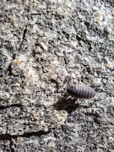
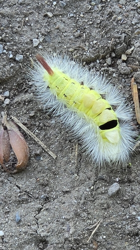
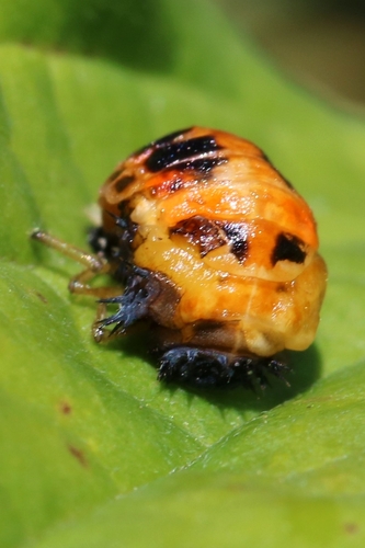
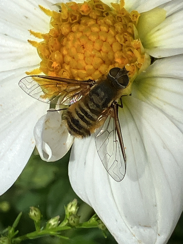
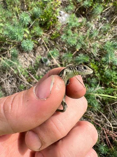
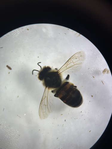
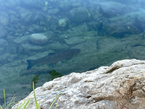
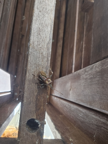
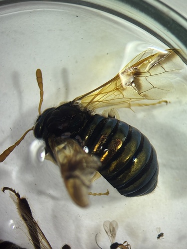
Research-grade observations from iNaturalist (within ~15 mi).
Events
Gallery
Official Identifiers
BFS — Swiss Federal Statistical Office
- BFS-Nr
- 536
- Population (Wikidata)
- 206
- Wikidata
- Q70266
Gemeindenummer via Wikidata P771
Sources
- • Wikipedia
- • Wikidata
- • USGS Earthquake Catalog (global feed)
- • GBIF (Global Biodiversity Information Facility)
- • iNaturalist
- • Open-Meteo / sunrise-sunset.org
- • Wikipedia Pageviews API
- • BFS — Swiss Federal Statistical Office — Gemeindenummer via Wikidata P771