Browse / Switzerland / Zurich / Dietikon
Dietikon
Zurichtown

Dietikon
Total population
27,904
Demographic figures from Swiss Federal Statistical Office. Overview below cites Wikipedia and may reference a different year.
City facts
Facts from Wikidata (CC0).
Overview
Dietikon is a municipality and the fifth-largest town in the canton of Zürich in Switzerland, after Zurich, Winterthur, Uster and Dübendorf. It is the capital of the district of Dietikon and part of the Zurich metropolitan area.
Read more on WikipediaHistory & geography
History
Dietikon is first mentioned in 1100 as Dietinchovin. Dietikon features several Roman ruins and also the Fahr Benedictine Convent, given by the House of Regensberg around 1130 AD, with a cloister church dating from the years 1743 to 1746. The Second Battle of Zurich was fought in Dietikon (September 1799) and the town name is among those inscribed at the pillar of the Arc de Triomphe in Paris, France.
Geography
The industrial city Dietikon is situated at an elevation of at the confluence of the Reppisch and the Limmat, located in the Limmat Valley (German: Limmattal), along the railway line from Zurich to Baden. Here and in the neighboring region, Spreitenbach, is also the large Limmattal rail freight marshalling yard. Dietikon has an area of . Of this area, 17.2% is used for agricultural purposes, while 27% is forested. Of the rest of the land, 49.1% is settled (buildings or roads) and the remainder (6.7%) is non-productive (rivers, glaciers or mountains). housing and buildings made up 33.8% of the total area, while transportation infrastructure made up the rest (15.3%). Of the total unproductive area, water (streams and lakes) made up 4.9% of the area. 40.7% of the total municipal area was undergoing some type of construction. The largest and best known forests of the municipality include the Honeret, Guggenbüehl and Röhrenmoos. The Honeret forest lies on a side moraine of the Linth glacier ("Linthgletscher"). There are over 200 prominent stones through the woods, up to erratic boulders as big as . The Honeret and the Guggenbüehl-Wald are separated by only one main street. In the forest, there are a few springs from which the brooks Tobelbach and Stoffelbach rise and then flow down into the Reppisch. Also in the forest lies the forest cottage "Lorenzhütte." The Guggenbüehl forest lies wholly within Dietikon. Within the forest lies the "Giigelibode" pond. It has neither inflow nor outflow. A Vita course is in the forest.
Excerpted from the corresponding Wikipedia article (CC BY-SA).
Geography
Coordinates & boundaries from the US Census TIGER/Line shapefiles.
Climate
Air quality
Walkability
Amenities nearby
Wildlife & biodiversity
Earthquake history
Photos
Sights & places nearby
Notable people from here
Nearby places in Zurich
- Geroldswil1.3 mi away · pop. 4,858
- Oetwil1.6 mi away · pop. 2,300
- Urdorf1.8 mi away · pop. 9,673
- Weiningen1.9 mi away · pop. 4,414
- Hüttikon2.9 mi away · pop. 879
- Uitikon3.3 mi away · pop. 4,107
- Regensdorf3.6 mi away · pop. 18,010
- Otelfingen3.9 mi away · pop. 2,777
- Birmensdorf3.9 mi away · pop. 6,235
- Buchs ZH4 mi away · pop. 6,808
- Adlikon b. Regensdorf4.1 mi away
- Boppelsen4.5 mi away · pop. 1,018
Geography & sun
Elevation, sunrise/sunset and daylight from Open-Meteo. Solar climatology from NASA POWER.
Nearby airports
Public attention
Pageview totals from the Wikimedia Pageviews API.
Books about Dietikon
Search results from Open Library.
Recent natural events nearby
Ground air-quality sensors
Recently spotted species
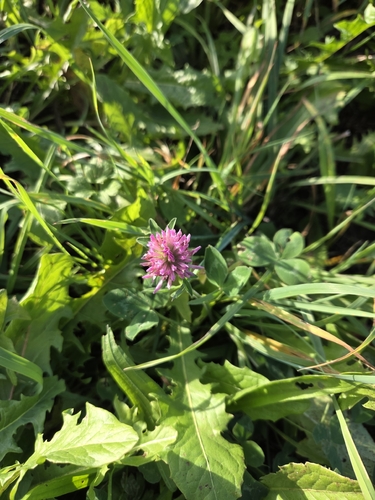
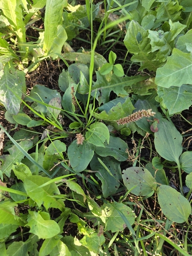
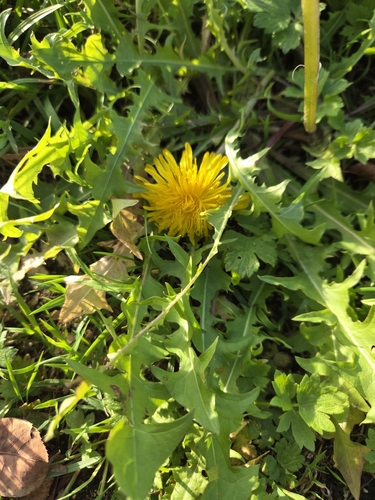
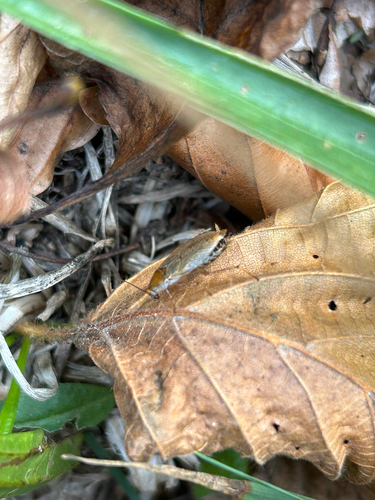
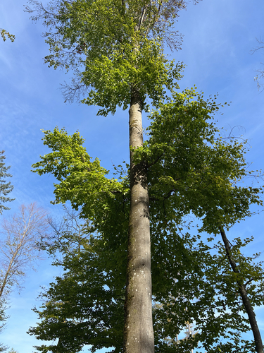
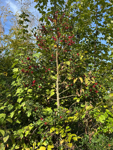
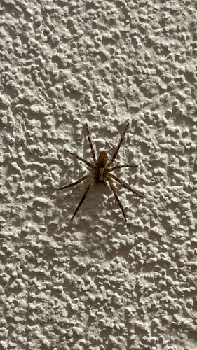
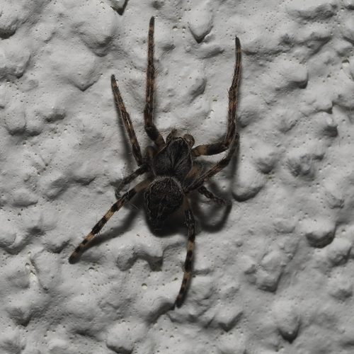
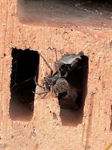
Research-grade observations from iNaturalist (within ~15 mi).
Events
Gallery
Official Identifiers
BFS — Swiss Federal Statistical Office
- BFS-Nr
- 243
- Population (Wikidata)
- 26,936
- Wikidata
- Q64070
Gemeindenummer via Wikidata P771
Sources
- • Wikipedia
- • Wikidata
- • iNaturalist
- • Open-Meteo / sunrise-sunset.org
- • Wikipedia Pageviews API
- • Open Library
- • Wikidata SPARQL (CC0) — population, area, elevation, inception, head of government, Commons image
- • BFS — Swiss Federal Statistical Office — Gemeindenummer via Wikidata P771