Browse / Switzerland / Zurich / Embrach
Embrach
Zurichvillage

Embrach
Total population
9,143
Demographic figures from Swiss Federal Statistical Office. Overview below cites Wikipedia and may reference a different year.
City facts
Facts from Wikidata (CC0).
Overview
Embrach is a municipality in the district of Bülach in the canton of Zürich in Switzerland.
Read more on WikipediaHistory & geography
History
First traces of settlement are grave finds from the Bronze Age around 800 BC at Ofengupf in Oberembrach. Many Roman settlements are documented in the catchment area of Embrach valley. In the valley itself there are few traces of the Romans, documented are only a few coins and shards finds. One this is sure and that is that the name Embrach is of Gallo-Roman origin. Imbriacus (first written down in 1044 as Imbriaguam), from Imbri (rain) Acus (field), so fields of rain. Or Imbrex (Roman brick) Acus, so the fields of Brickmaker. The second option fits so nicely for the further history of the place ... An Alamanni population is first mentioned around 750. In 820 we find a record to the hamlet and mill of Illingen as estate of the cathedral (Grossmünster) in Zurich. The mill is clearly a sign of extensive agriculture in Embrach Valley at this time. The foundations of the first monastery of the 9th century were first laid open during excavations in 1992, radiocarbon dated. The Hunfried certificate mentioned Embrach for the first time in written form in 1044. The secular power is in the wake of the Toggenburger. Heidegger (they have a tavern right in Embrach) and Bochsler were Embrach nobleman in the 14th century. In the War of Sempach (Sempacherkrieg) (1386) and later in the Old Zurich War (1444) the troops of the Eidgenossen plundered, destroyed the church and the convent. After this war the governmental power over Embrach chances from the House of Habsburg to the state of Zurich. A Latin school in the Abbey at 1454 is documented. At the turn of the century the population is growing strongly. The consequences are massive inflation, wages collapse and widespread poverty. It follows that what we today would call economic development program. Wine and wood use will be…
Geography
Embrach is situated in the "Embrachertal" (Embrach Valley), 6 kilometers northeast of the international airport of Zurich, in a wide U-shaped side valley of the river Töss. A plain of 500 ha size, 5 km length and up to 1.5 km width forms the ground of the valley. The plain is bounded by the slopes of the hill Blauen to the east, by the hill Dättenberg to the west, by the Ghei and the Egg to the south, and by the Tössschlucht (canyon of river Töss) to the north. The stream Wildbach drains the "Embrachertal" northwards into the river Töss at Rorbas. The landscape was formed by the Linth glacier during the ice-age. Out of the total 12.72 square kilometers of Embrach, 45% account for forests, 35% for arable land and 18% for settlement area plus roads. The portion of the settlement area is steadily increasing by more than 30 ha per year at the expense of the cultivated area. [3]. The village stretches mainly along the main street from the "Hinterdorf" in the south to the Psychiatric Center Hard in the north. Embrach is a 3 km long so-called "Street Village" (Strassendorf in German). The best living areas are on the slopes of Sonnenberg and Guldenberg in the east of the village. Since the Middle Ages, grape vines have been grown on these slopes. The highest point is the "Tisch" (table) on top of the hill "Blauen" at 609 meters above sea level. [http://maps.google.de/maps?f=q&hl=de&q=+N+47%C2%B0+30.835+E+8%C2%B0+37.128&t=k 688897 / 263243]. The deepest point is in the river "Töss" in west of the "Kleinwasserkraftwerks Freienstein" at 360 meters above sea level. [http://maps.google.de/maps?f=q&hl=de&q=+N+47%C2%B0+31.696+E+8%C2%B0+35.204&t=k 686459 / 264803]. The village center with the Reformed Church is located at 428 meters above sea level, approximately…
Excerpted from the corresponding Wikipedia article (CC BY-SA).
Geography
Coordinates & boundaries from the US Census TIGER/Line shapefiles.
Climate
Air quality
Walkability
Amenities nearby
Wildlife & biodiversity
Earthquake history
Photos
Sights & places nearby
Notable people from here


People born within ~10 km, from Wikidata (CC0). Click any name for their Wikipedia article.
Nearby places in Zurich
- Lufingen1.1 mi away · pop. 2,066
- Oberembrach1.7 mi away · pop. 1,066
- Rorbas1.9 mi away · pop. 2,201
- Winkel2.1 mi away · pop. 4,237
- Bülach2.6 mi away · pop. 19,342
- Teufen ZH3.3 mi away
- Buch am Irchel3.3 mi away · pop. 728
- Oberwil3.6 mi away
- Kloten3.7 mi away · pop. 18,412
- Hochfelden3.8 mi away · pop. 1,989
- Birchwil3.8 mi away
- Neftenbach3.8 mi away · pop. 5,434
Geography & sun
Elevation, sunrise/sunset and daylight from Open-Meteo. Solar climatology from NASA POWER.
Nearby airports
Public attention
Pageview totals from the Wikimedia Pageviews API.
Books about Embrach
Search results from Open Library.
Recent natural events nearby
Ground air-quality sensors
Recently spotted species
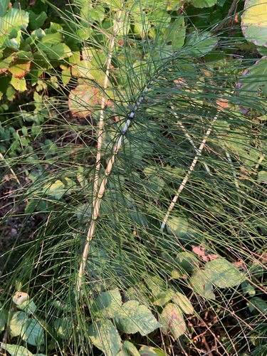
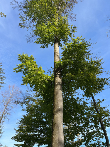
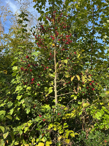
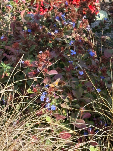
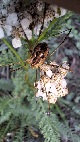
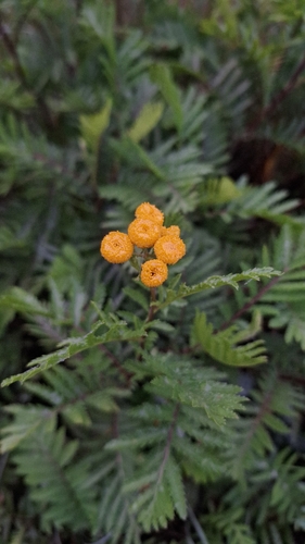
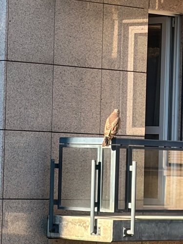
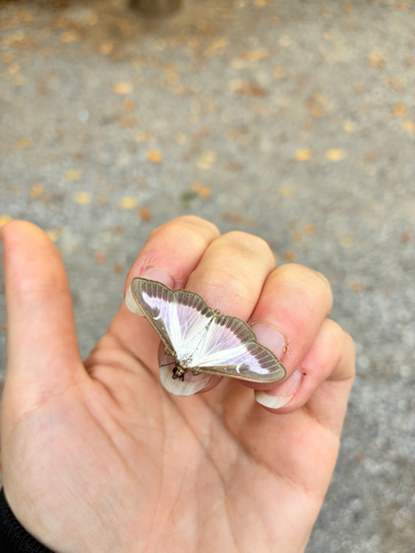
Research-grade observations from iNaturalist (within ~15 mi).
Events
Gallery
Official Identifiers
BFS — Swiss Federal Statistical Office
- BFS-Nr
- 56
- Population (Wikidata)
- 9,419
- Wikidata
- Q65877
Gemeindenummer via Wikidata P771
Sources
- • Wikipedia
- • Wikidata
- • iNaturalist
- • Open-Elevation
- • Open-Meteo / sunrise-sunset.org
- • Wikipedia Pageviews API
- • Open Library
- • Wikidata SPARQL (CC0) — population, area, elevation, inception, head of government, Commons image
- • BFS — Swiss Federal Statistical Office — Gemeindenummer via Wikidata P771