Browse / Switzerland / Vaud / Forel (Lavaux)
Forel (Lavaux)
Vaudvillage

Forel (Lavaux)
Total population
1,704
Demographic figures from Swiss Federal Statistical Office. Overview below cites Wikipedia and may reference a different year.
City facts
Facts from Wikidata (CC0).
Overview
Forel is a municipality in the Swiss canton of Vaud, located in the district of Lavaux-Oron.
Read more on WikipediaHistory & geography
History
The oldest document mentioning the area around Forel (Lavaux) is dated 1140, and mentions Guy de Maligny, the bishop of Lausanne, owning the land with the Lac de Joux Abbey. The document mentioning the forests of Forel (Fores) dates to 1274. In 1300 it was mentioned as Forel. In 1298, Pierre and Garnier de Palézieux bought the hamlet of Forel (known today as the "In Forel") and the surrounding forests from Louis I of Savoy. Two years later, the same Baron of Vaud sold the land to the bishop of Lausanne and it became part of the district of the Grande Paroisse de Villette. After the departure of Lausanne's last prince-bishop in 1536, and the lands came under the administration of Bern, and established the district known as the Place General de Villette. It was not until 1601 that a representative of the farming area of Forel was invited to join the district council in Cully. The Bernese occupation did little to alleviate the feudal taxes and the inhabitants ended up paying more taxes and the tithes (of cereals, wine, vegetables, hemp, flax, cattle and others). After the collapse of the ancien régime, Forel from 1798 to 1803 under the Helvetic Republic was under the administration of the Canton of Léman and then the Canton of Vaud. In 1798 it became a part of the district of Lavaux. Forel belonged until 1824 to the Greater Municipality of Villette and was also known as Les Monts de Villette in reference to its mountains. In 1822 petitions to the State Council from residents of Epesses, the Monts de Villette and Aran, signed by some 145 people, reflected a showing the strong desire for local autonomy. In 1824, the State Council accepted the division of the municipality of Villette into the areas Cully and Chenaux (capital, Cully) Riex, Epesses, Grandvaux and Curson…
Geography
Forel is located at above sea level, east of the capital of the canton of Lausanne (as the crow flies). The scattered settlement community extends to the southeast in the Jorat plateau, north of Lake Geneva basin, in the Vaud Midlands. Forel (Lavaux) has an area, , of . Of this area, is used for agricultural purposes, while is forested. Of the rest of the land, is settled (buildings or roads), is either rivers or lakes and is unproductive land. Of the built up area, housing and buildings made up 4.2% and transportation infrastructure made up 2.6%. Out of the forested land, 26.3% of the total land area is heavily forested and 1.2% is covered with orchards or small clusters of trees. Of the agricultural land, 46.7% is used for growing crops and 16.5% is pastures. All the water in the municipality is flowing water. The municipal area is drained by the Grenet River which forms part of its natural municipal boundary. The central part is the over above sea level. To the north lies the town land in the forest area Bois du Grand Jorat (up to above sea level), which arises from the Carrouge. In the northeast, includes the territory of Petit Jorat at above sea level. To the west is the gently sloping hillside of Savigny. To the south, the town area extends to the wooded heights of Mont de Gourze at above sea level, the highest point on the watershed between the basins of the Rhône and Rhine. The municipality consists of the real estate community center Cornes de Cerf ( above sea level) and numerous hamlets and settlements, including Le Pigeon, Le Plan, Le Grenet, Les Chesaudes and La Tuilière, all located on the southeast Jorat plateau, as well as many individual farms. The municipality is surrounded by Puidoux, Epesses, Riex, Cully, Grandvaux, Villette,…
Excerpted from the corresponding Wikipedia article (CC BY-SA).
Geography
Coordinates & boundaries from the US Census TIGER/Line shapefiles.
Climate
Air quality
Walkability
Amenities nearby
Wildlife & biodiversity
Earthquake history
Photos
Sights & places nearby
Notable people from here


People born within ~10 km, from Wikidata (CC0). Click any name for their Wikipedia article.
Nearby places in Vaud
- Les Thioleyres2 mi away · pop. 172
- Les Cullayes2.3 mi away · pop. 628
- Servion2.5 mi away · pop. 2,078
- Vuibroye2.6 mi away · pop. 120
- Châtillens2.8 mi away · pop. 365
- Puidoux2.9 mi away · pop. 2,811
- Palézieux3 mi away
- Montpreveyres3.1 mi away · pop. 535
- La Claie-aux-Moines3.1 mi away
- Ferlens VD3.3 mi away · pop. 331
- Oron-la-Ville3.4 mi away · pop. 1,224
- Riex3.7 mi away · pop. 269
Geography & sun
Elevation, sunrise/sunset and daylight from Open-Meteo. Solar climatology from NASA POWER.
Nearby airports
Public attention
Pageview totals from the Wikimedia Pageviews API.
Books about this place
Recent natural events nearby
Ground air-quality sensors
Recently spotted species
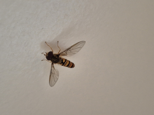
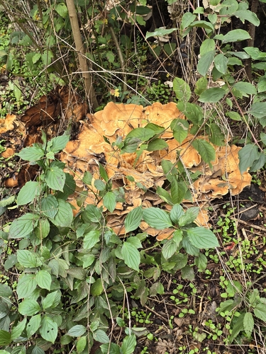
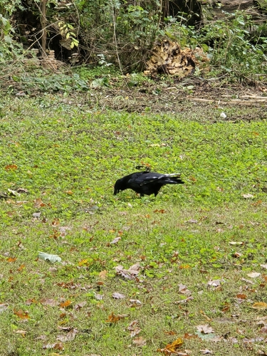
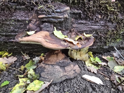
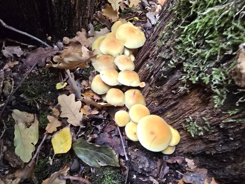
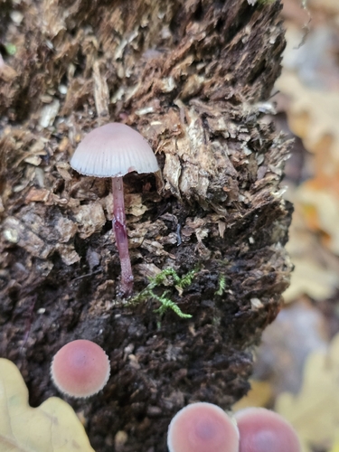
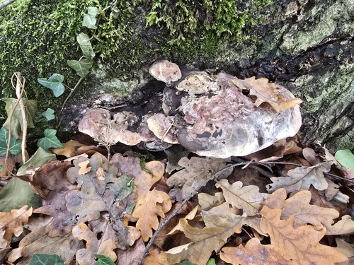
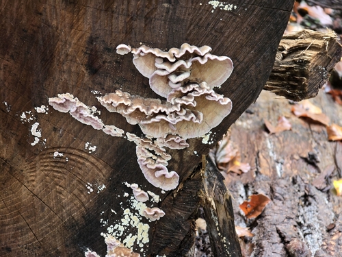
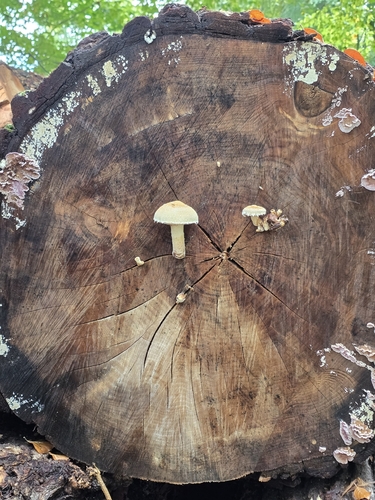
Research-grade observations from iNaturalist (within ~15 mi).
Events
Gallery
Sources
- • Wikipedia
- • Wikidata
- • iNaturalist
- • Open-Meteo / sunrise-sunset.org
- • Wikipedia Pageviews API
- • Wikidata SPARQL (CC0) — population, area, elevation, inception, head of government, Commons image