Browse / Switzerland / Vaud / Founex
Founex
Vaudvillage
Total population
3,210
Demographic figures from Swiss Federal Statistical Office. Overview below cites Wikipedia and may reference a different year.
City facts
Facts from Wikidata (CC0).
Overview
Founex is a municipality in the district of Nyon in the canton of Vaud in Switzerland.
Read more on WikipediaHistory & geography
History
Signs of Roman-era inhabitation were found near Le Gachet. The first appearance of the village was in 1224 under the name Fosnay. In 2002, Founex and 8 other villages formed the area called the Terre Sainte, although a formalisation of such union into a legal unification was rejected by the Founex general council on 30 August 2010.
Geography
Founex has an area, , of . Of this area, or 65.1% is used for agricultural purposes, while or 2.3% is forested. Of the rest of the land, or 32.2% is settled (buildings or roads). Of the built up area, housing and buildings made up 24.6% and transportation infrastructure made up 5.0%. Power and water infrastructure as well as other special developed areas made up 1.5% of the area Out of the forested land, all of the forested land area is covered with heavy forests. Of the agricultural land, 35.7% is used for growing crops and 4.4% is pastures, while 25.1% is used for orchards or vine crops. It consists of the village of Founex and the hamlets of Châtaigneraie and Le Gachet.
Excerpted from the corresponding Wikipedia article (CC BY-SA).
Geography
Coordinates & boundaries from the US Census TIGER/Line shapefiles.
Climate
Air quality
Walkability
Amenities nearby
Wildlife & biodiversity
Most-observed species
- Yellow-legged hornetVespa velutina Lepeletier, 1836 · Insecta7,522
- Carrion CrowCorvus corone Linnaeus, 1758 · Aves5,776
- House SparrowPasser domesticus (Linnaeus, 1758) · Aves5,503
- Common Wood-PigeonColumba palumbus Linnaeus, 1758 · Aves5,167
- MallardAnas platyrhynchos Linnaeus, 1758 · Aves5,049
- Eurasian CootFulica atra Linnaeus, 1758 · Aves4,788
- Eurasian BlackbirdTurdus merula Linnaeus, 1758 · Aves4,623
- Mute SwanCygnus olor (J.F.Gmelin, 1789) · Aves4,273
Citizen-science & research observations from the Global Biodiversity Information Facility (GBIF).
Earthquake history
Most recent
- M 3.6 — 2026-01-124 km SSW of Les Houches, France
- M 3.3 — 2025-05-068 km W of Chapareillan, France
- M 3.2 — 2024-05-099 km SW of Evolène, Switzerland
- M 3.3 — 2022-09-257 km ESE of Ar?ches-la-Frasse, France
- M 4.5 — 2022-03-123 km S of Faverges, France
- M 3.4 — 2020-06-2311 km ESE of Samoëns, France
Events from the USGS Earthquake Catalog (global) (FDSN Event Web Service).
Photos
Sights & places nearby
Notable people from here


People born within ~10 km, from Wikidata (CC0). Click any name for their Wikipedia article.
Nearby places in Vaud
- Coppet1.2 mi away · pop. 2,887
- Commugny1.4 mi away · pop. 2,508
- Chavannes-de-Bogis1.7 mi away · pop. 1,077
- Crans VD1.8 mi away
- Tannay1.9 mi away · pop. 1,436
- Bogis-Bossey1.9 mi away · pop. 830
- Mies2.2 mi away · pop. 1,760
- Arnex-sur-Nyon2.9 mi away · pop. 190
- Crassier3.1 mi away · pop. 1,114
- Chavannes-des-Bois3.2 mi away · pop. 797
- Borex3.2 mi away · pop. 899
- Eysins3.3 mi away · pop. 1,363
Geography & sun
Elevation, sunrise/sunset and daylight from Open-Meteo. Solar climatology from NASA POWER.
Nearby airports
Public attention
Pageview totals from the Wikimedia Pageviews API.
Books about this place
Recent natural events nearby
Ground air-quality sensors
Recently spotted species
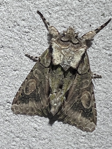
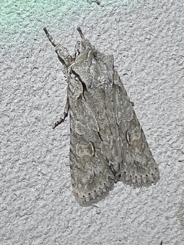
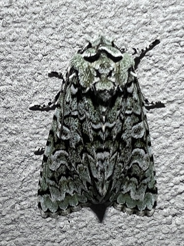
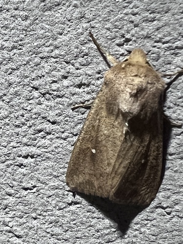
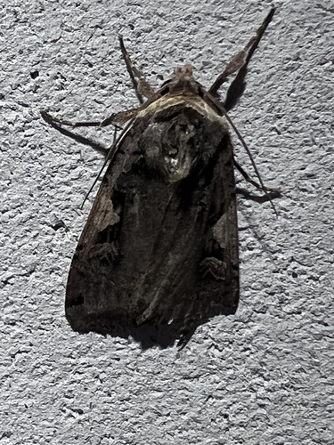
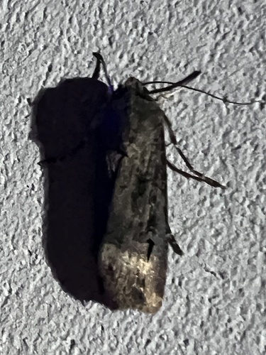
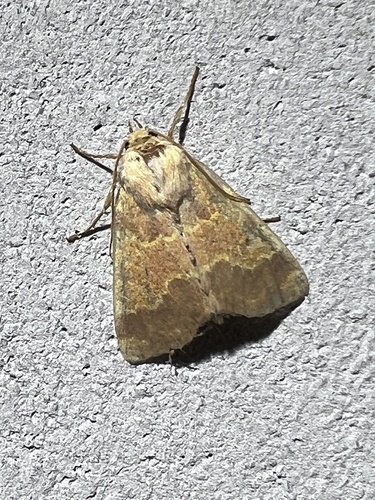
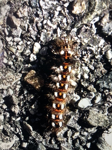
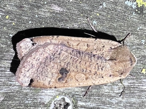
Research-grade observations from iNaturalist (within ~15 mi).
Events
Gallery
Official Identifiers
BFS — Swiss Federal Statistical Office
- BFS-Nr
- 5717
- Population (Wikidata)
- 3,847
- Wikidata
- Q69331
Gemeindenummer via Wikidata P771
Sources
- • Wikipedia
- • Wikidata
- • USGS Earthquake Catalog (global feed)
- • GBIF (Global Biodiversity Information Facility)
- • iNaturalist
- • Open-Elevation
- • Open-Meteo / sunrise-sunset.org
- • Wikipedia Pageviews API
- • Wikidata SPARQL (CC0) — population, area, elevation, inception, head of government, Commons image
- • BFS — Swiss Federal Statistical Office — Gemeindenummer via Wikidata P771