Browse / Switzerland / Ticino / Fusio
Fusio
Ticinovillage

Fusio
Demographic figures from Swiss Federal Statistical Office. Overview below cites Wikipedia and may reference a different year.
City facts
Facts from Wikidata (CC0).
Overview
Fusio is a village and former municipality in the district of Vallemaggia in the canton of Ticino, Switzerland.
Read more on WikipediaHistory & geography
History
Fusio is first mentioned in 1258 as Fuxio. The population reached its peak in the 16th–17th century (400–500 inhabitants), but towards the end of the 18th century began a slow decline. This slow decline accelerated dramatically after 1950 because of emigration to the cities. Most of the remaining population is elderly. The church, consecrated in 1455 to the Beata Vergine Assunta, was a Chapel of ease of Sornico until the 16th century. It was later rebuilt several times, mainly in the 17th century. The local economy relied on livestock, pastures and forestry. The village possessed vast pastures and alpine pastures, which explains the relatively small number of emigrants overseas. Until the second half of the 19th century, there were two mines in the village that produced steatite (soapstone). Through the construction of the dam in the Sambuco valley (1950–56) the amount of agricultural land has been reduced. From the 1980s a number of houses and an inn were built. The hamlet of Mogno was also part of the village. In the 17th century it possessed 50 taxable fireplaces. By 1801, the population had dropped to just 40 inhabitants. Today it is no longer inhabited all year round and serves only as a holiday village. Before Mogno was incorporated in 1936 into Fusio it was part of Peccia, and the land around the settlement was shared between Fusio, Peccia and Prato-Sornico. The church of San Giovanni Battista Decollato was built in 1626 and was initially a chapel of ease of the parish of Peccia. Towards the end of the 17th century it became an independent parish church. In 1940 it became part of the parish of Fusio. The church was destroyed in 1986 by an avalanche. The new building, by Mario Botta, was built in 1997 after 10 years of planning and construction work. The…
Geography
Fusio has an area, , of . Of this area, or 1.0% is used for agricultural purposes, while or 19.7% is forested. Of the rest of the land, or 0.7% is settled (buildings or roads), or 4.2% is either rivers or lakes and or 56.3% is unproductive land. Of the built up area, housing and buildings made up 0.1% and transportation infrastructure made up 0.4%. Out of the forested land, 13.8% of the total land area is heavily forested and 2.7% is covered with orchards or small clusters of trees. Of the agricultural land, 0.8% is used for growing crops. Of the water in the village, 3.6% is in lakes and 0.6% is in rivers and streams. Of the unproductive areas, 26.4% is unproductive vegetation and 29.9% is too rocky for vegetation. The village is located in the Vallemaggia district. It is the upper most village in the Val Lavizzara at an elevation of . It is from Locarno. Lago di Mognola is located above the village. The former municipality also contained the village of Mogno.
Excerpted from the corresponding Wikipedia article (CC BY-SA).
Geography
Coordinates & boundaries from the US Census TIGER/Line shapefiles.
Climate
Air quality
Walkability
Amenities nearby
Wildlife & biodiversity
Earthquake history
Photos
Sights & places nearby
Notable people from here


People born within ~10 km, from Wikidata (CC0). Click any name for their Wikipedia article.
Geography & sun
Elevation, sunrise/sunset and daylight from Open-Meteo. Solar climatology from NASA POWER.
Nearby airports
Public attention
Pageview totals from the Wikimedia Pageviews API.
Books about Fusio
Search results from Open Library.
Recent natural events nearby
Ground air-quality sensors
Recently spotted species
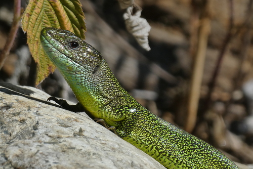
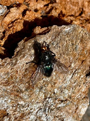
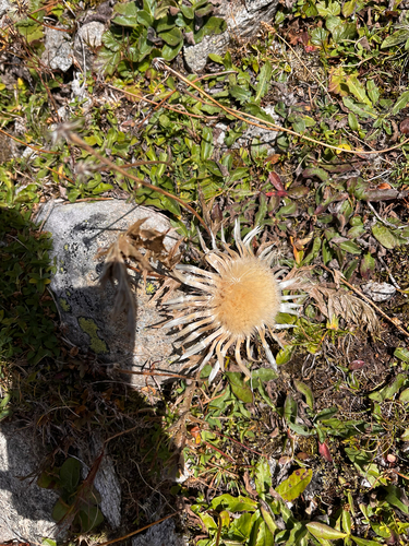
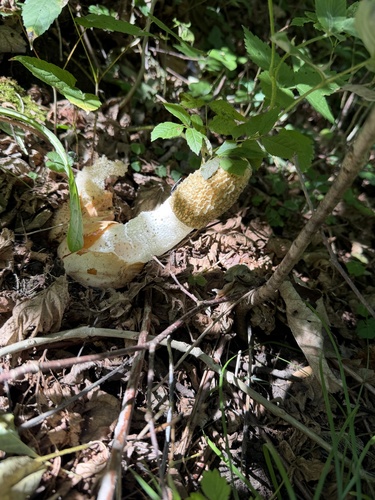
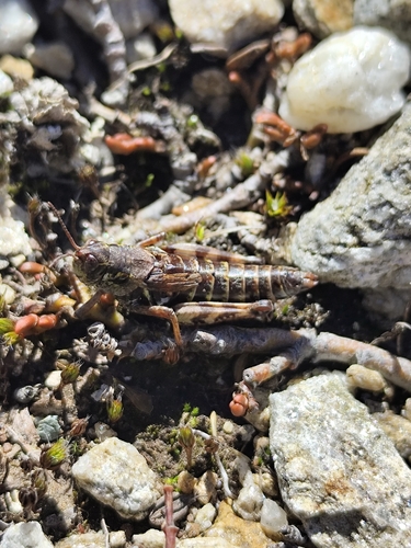
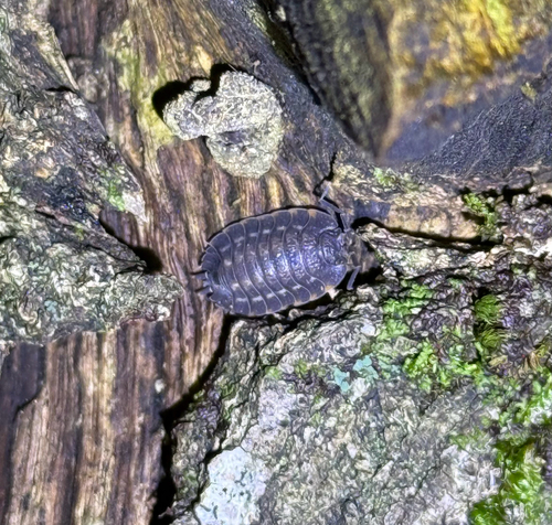
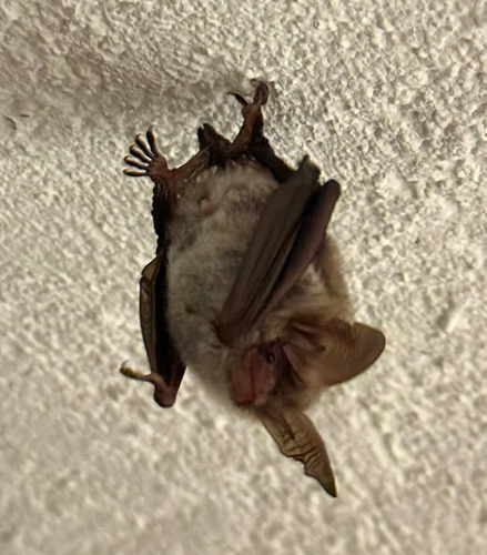
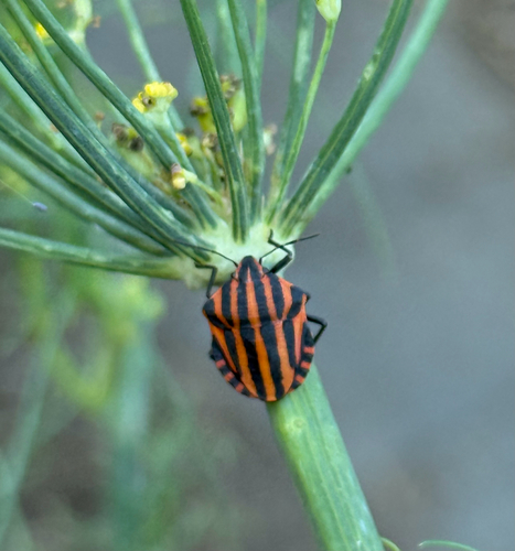
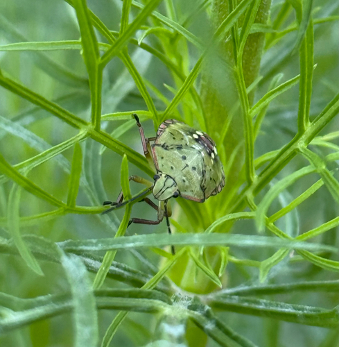
Research-grade observations from iNaturalist (within ~15 mi).
Events
Gallery
Official Identifiers
BFS — Swiss Federal Statistical Office
- BFS-Nr
- 5312
- Wikidata
- Q2779600
Gemeindenummer via Wikidata P771
Sources
- • Wikipedia
- • Wikidata
- • iNaturalist
- • Open-Meteo / sunrise-sunset.org
- • Wikipedia Pageviews API
- • Open Library
- • BFS — Swiss Federal Statistical Office — Gemeindenummer via Wikidata P771